Photograph as originally submitted to
this page in the Historical Marker Database
www.HMdb.org.
Click on photo to resize in browser. Scroll down to see metadata.
Photographer: Dale K. Benington
Taken: December 23, 2009
Caption:
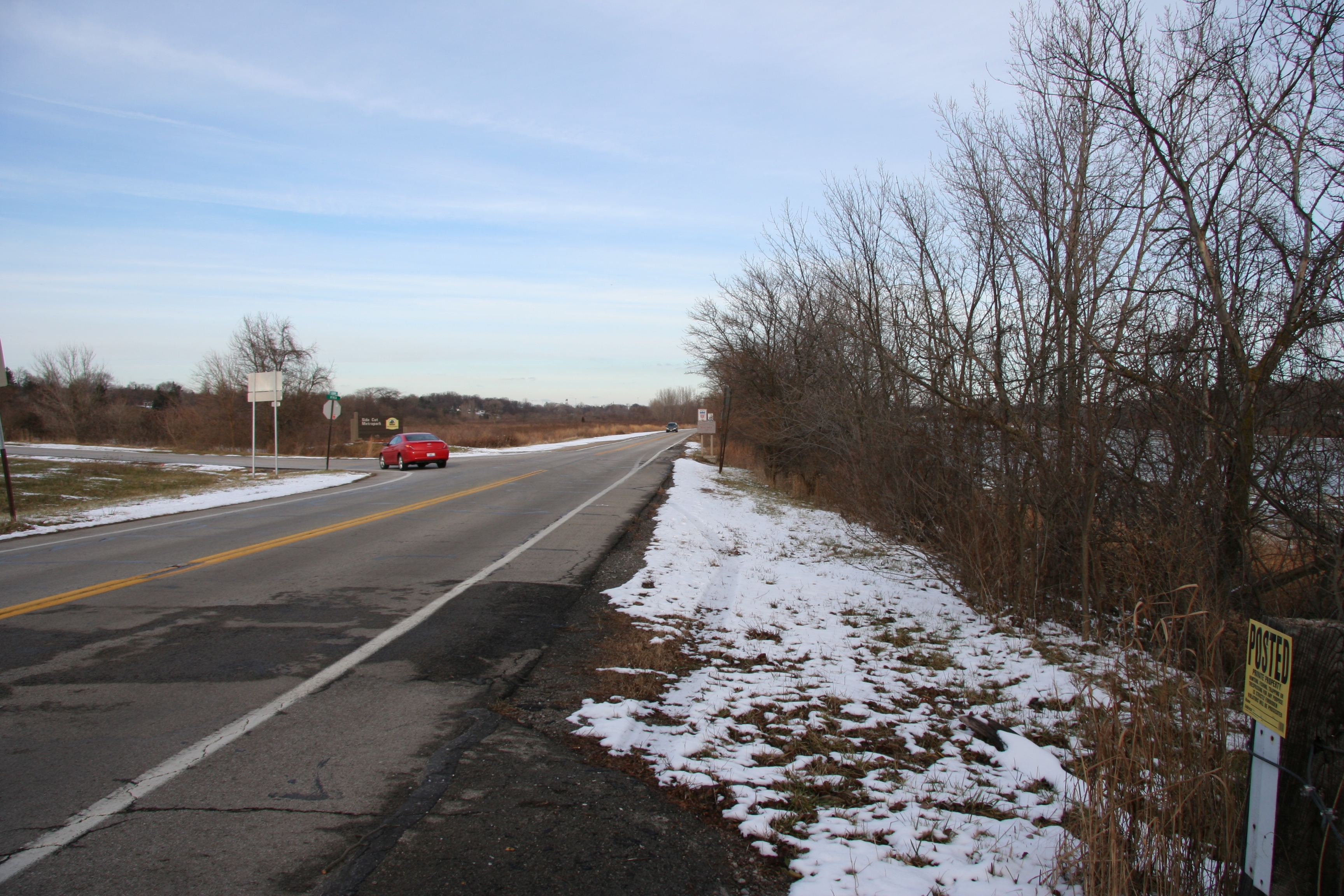
Hull's Crossing/Turkey Foot Rock Marker | Additional Description: Modern day view of area just north of the original location of this marker, looking north on North River Road, and seeing the Jerome Road intersection on the left and the Maumee River along the right side of the road.
Submitted: January 12, 2010, by Dale K. Benington of Toledo, Ohio.
Database Locator Identification Number: p92511
File Size: 3.788 Megabytes
To see the metadata that may be embedded in this photo, sign in and then return to this page.