Photograph as originally submitted to
this page in the Historical Marker Database
www.HMdb.org.
Click on photo to resize in browser. Scroll down to see metadata.
Photographer: USGS/Terraserver/Google Earth
Taken: Circa January 1, 2007
Caption:
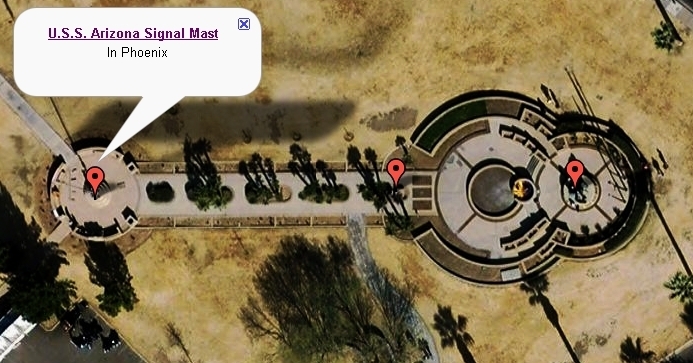
Arizona's U.S.S. Arizona Monument Aerial View | Additional Description: The Signal Mast, Time Capsule, Anchor and Casualty Memorial are pointed out in this image.
Submitted: January 19, 2010.
Database Locator Identification Number: p93313
File Size: 0.233 Megabytes
To see the metadata that may be embedded in this photo, sign in and then return to this page.