Photograph as originally submitted to
this page in the Historical Marker Database
www.HMdb.org.
Click on photo to resize in browser. Scroll down to see metadata.
Taken: September 23, 2009
Caption:
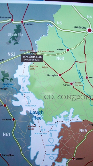
Map of Lanesborough / Béal Átha Liag on Marker | Additional Description: Showing location at the northern boundary of Lough Ree.
Submitted: February 14, 2010.
Database Locator Identification Number: p96337
File Size: 0.085 Megabytes
To see the metadata that may be embedded in this photo, sign in and then return to this page.