By J. J. Prats, April 16, 2019
Covenanter Church Marker
| On Ohio Route 138 south of 2nd Street (U.S. 137), on the right when traveling south. |
| On 2nd Street (U.S. 52) west of Jack Roush Way, on the right when traveling west. Reported missing. |
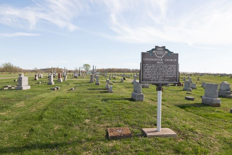
| Near East 8th Street, 0.2 miles east of Cemetery Street, on the right when traveling east. |
| Near East 8th Street, 0.2 miles east of Cemetery Street, on the right when traveling east. |
| On East Front Street at Pike Avenue, on the right when traveling east on East Front Street. |
| On West Front Street at Pearl Street, on the right when traveling west on West Front Street. |
| On 2nd Street (U.S. 52) east of Cemetery Street, on the right when traveling east. |
| On Mineral Springs Road (County Route 18) north of Garnet Shiveley Road, on the right when traveling south. |
| Near Horner Chapel Road (Ohio Route 73) 0.9 miles west of Horner Chapel Road (County Road T-116), on the right when traveling west. |
| Near Ohio Route 73, 0.9 miles west of Horner Chapel Road (County Road T-116), on the right when traveling west. |
| Near Main Street (Ohio Route 41) at Elm Street, on the left when traveling south. |
| On Ohio Route 73 near Ohio Route 41, on the left when traveling east. |
| On North Main Street (Ohio Route 41) near Elliott Avenue, on the right when traveling north. Reported missing. |
| Near Ohio Route 73 west of Horner Chapel Road (Local Route 116), on the right when traveling west. |
| Near Horner Chapel Road (Ohio Route 73) 0.9 miles west of Horner Chapel Road (County Road T-116), on the right when traveling west. |
| Near Horner Chapel Road (Ohio Route 73) 0.9 miles west of Horner Chapel Road (Route T-116), on the right when traveling west. |
| Near Horner Chapel Road (Ohio Route 73) 0.9 miles west of Horner Chapel Road (County Road T-116), on the right when traveling west. |
| On Horner Chapel Road (Ohio Route 73) 0.9 miles west of Horner Chapel Road (County Road T-116), on the right when traveling west. |
| On Ohio Route 41 at Adkins Rd, on the right when traveling north on State Route 41. |
| On Ohio Route 73, 0.9 miles west of Horner Chapel Road (County Road T-116), on the right when traveling west. |
| On Ohio Route 73, 1 mile west of Horner Chapel Road (County Road T-116), on the right when traveling west. |
| On Ohio Route 73, 0.9 miles west of Horner Chapel Road (County Road T-116), on the right when traveling west. |
| On Ohio River Scenic Byway (U.S. 52) 0.3 miles west of Blue Creek Road (County Highway 18), on the right when traveling west. |
| On Main Street (Ohio Route 247) south of Tri County Road, on the right when traveling south. |
| Near Ohio Route 73, 0.9 miles west of Horner Chapel Road (County Road T-116), on the right when traveling west. |
| On Ohio Route 73, 0.9 miles west of Horner Chapel Road (County Road T-116), on the right when traveling west. |
| On Ohio Route 73, 0.9 miles west of Homer Chapel Road (County Road T-116), on the right when traveling west. |
| Near Ohio Route 73, 0.9 miles west of Homer Chapel Road (County Road T-116), on the right when traveling west. |
| On North Chery Street west of North Cross Street (Ohio Route 247), on the right when traveling west. |
| On West Main Street at North Market Street, on the right when traveling west on West Main Street. |
| On West Main Street at North Market Street, on the right when traveling west on West Main Street. |
| On West Main Street (Ohio Route 41) at North Cherry Street, on the right when traveling west on West Main Street. |
| On West Main Street (Ohio Route 125) at North Cross Street (Ohio Route 247), on the right when traveling west on West Main Street. |
| On North Cross Street at West Main Street, on the right when traveling north on North Cross Street. |
| On Second Street (Ohio Route 247) at East Walnut, on the left when traveling south on Second Street. |
| On North Cross Street (Ohio Route 247) north of North Cherry Street, on the right when traveling south. |
| On North Wilson Drive at Mulberry Street, on the right when traveling north on North Wilson Drive. |
| Near South Cherry Street south of West South Street, on the right when traveling south. |
| On North Cherry Street at West Main Street (Ohio Route 125), on the right when traveling north on North Cherry Street. |
| On West South Street at South West Street, on the left when traveling west on West South Street. |
| On North Cherry Street west of North Cross Street (Ohio Route 247), on the right when traveling west. |
| On Zane Trace (Ohio Route 41), on the right when traveling south. |
| On Ohio Route 41 at Texas Street, on the right when traveling north on State Route 41. |
| On East Washington Street at Main Street (Ohio Route 136), on the right when traveling west on East Washington Street. |
| On Main Street (Ohio Route 136) at Dorsey Road (Local Route 48) on Main Street. |
| On Ohio River Scenic Byway (U.S. 52) 1.5 miles west of State Highway 247, on the right when traveling west. |
| On West Street/Napoleon Road at Lincoln Highway (Ohio Route 696), on the left when traveling north on West Street/Napoleon Road. |
| On West Main Street (Ohio Route 696) just west of Mill Street, on the left when traveling west. |
| On Lima Street at Water Street, on the right when traveling east on Lima Street. |
| On East Main Street (Ohio Route 696) at Church Street, on the right when traveling east on East Main Street. |
| On North Pevee Road, on the right when traveling north. |
| On Bentley Road near Riley Street, on the right when traveling south. |
| Near College Road south of Sunset Drive, on the right when traveling south. |
| On North Main Street north of Vine Street, on the left when traveling north. |
| On East Elm Street east of North Main Street, on the left when traveling east. |
| On Lake Street at County Line Road, on the right when traveling east on Lake Street. |
| On East Jefferson Street (Ohio Route 103) west of Huber Street, on the right when traveling east. |
| On Lincoln Highway (U.S. 30) at George Street, on the right when traveling west on Lincoln Highway. |
| On Armstrong Road, on the left when traveling east. |
| On South Conant Road, on the right when traveling south. |
| On East 2nd Street just east of North Main Street (Ohio Route 66), on the right when traveling east. |
| On Lincoln Highway (Ohio Route 66) at North Main Street (Ohio Route 66), on the right when traveling east on Lincoln Highway. |
| On North Main Street south of West 3rd Street, on the right when traveling south. |
| On Lincoln Highway (Ohio Route 66) just west of North Main Street (Ohio Route 66), on the left when traveling east. |
| On Lincoln Highway (Ohio Route 66) at North Main Street, on the right when traveling east on Lincoln Highway. |
| On Lincoln Highway (Ohio Route 66) at North Main Street (Ohio Route 66), on the right when traveling east on Lincoln Highway. |
| On Lincoln Highway (Ohio Route 66) at North Main Street (Ohio Route 66), on the right when traveling east on Lincoln Highway. |
| On Lincoln Highway (Ohio Route 66) at North Main Street (Ohio Route 66), on the right when traveling east on Lincoln Highway. |
| On Lincoln Highway (Ohio Route 66) at North Main Street (Ohio Route 66), on the right when traveling east on Lincoln Highway. |
| On Lincoln Highway (Ohio Route 66) at North Main Street (Route 66), on the right when traveling east on Lincoln Highway. |
| On Lincoln Highway (Ohio Route 66) at North Main Street (Ohio Route 66), on the right when traveling east on Lincoln Highway. |
| On Lincoln Highway (Ohio Route 66) at North Main Street (Ohio Route 66), on the right when traveling east on Lincoln Highway. |
| On Lincoln Highway (Ohio Route 66) at North Main Street (Ohio Route 66), on the right when traveling east on Lincoln Highway. |
| On Lincoln Highway (Ohio Route 66) at North Main Street (Ohio Route 66), on the right when traveling east on Lincoln Highway. |
| On Lincoln Highway (Ohio Route 66) at North Main Street (Ohio Route 66), on the right when traveling east on Lincoln Highway. |
| On Lincoln Highway (Ohio Route 66) at North Main Street (Ohio Route 66), on the right when traveling east on Lincoln Highway. |
| On Lincoln Highway (Ohio Route 66) at North Main Street (Ohio Route 66), on the right when traveling east on Lincoln Highway. |
| On North Washington Street just north of East 2nd Street, on the right when traveling north. |
| On North Main Street (Route 66) just south of West 3rd Street (Ohio Route 697), on the left when traveling north. |
| On North Main Street (Ohio Route 66) just north of East 2nd Street, on the right when traveling north. |
| On Lincoln Highway (Ohio Route 66) at North Main Street (Ohio Route 66), on the right when traveling east on Lincoln Highway. |
| On Lincoln Highway (Ohio Route 66) at North Main Street (Ohio Route 66), on the right when traveling east on Lincoln Highway. |
| On Landeck Road, on the left when traveling east. |
| On North Defiance Trail, on the right when traveling north. |
| Near West Main Street west of South Greenlawn Avenue, on the left when traveling west. |
| On Allentown Road (Ohio Route 81) west of Poling Road, on the right when traveling west. |
| On North Wapakoneta Road, 0.4 miles south of Allentown Road (Ohio Route 81), on the left when traveling north. |
| On Allentown Road (Ohio Route 81) at Poling Road, on the right when traveling west on Allentown Road. |
| On East Main Street at Roger Street, on the right when traveling east on East Main Street. |
| Near Zurmehly Road, 0.1 miles east of Beeler Road. |
| On Buckeye Road, 2 miles east of Ft. Amanda Road, on the left when traveling east. |
| On West Hume Road, 0.5 miles west of Shawnee Road. |
| On Spencerville Road (Ohio Route 117), on the left when traveling west. |
| On Buckeye Road east of Ft. Amanda Road, on the right when traveling east. |
| On Buckeye Road east of Ft. Amanda Road, on the right when traveling east. |
| On Buckeye Road east of Ft. Amanda Road, on the right when traveling east. |
| On Buckeye Road east of Ft. Amanda Road, on the right when traveling east. |
| On Buckeye Road east of Ft. Amanda Road, on the right when traveling east. |
9253 entries matched your criteria. The first 100 are listed above.
Next 100 ⊳