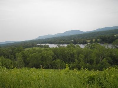
Stillwater in Saratoga County, New York — The American Northeast (Mid-Atlantic)
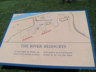
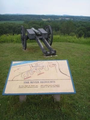
The River Redoubts
Erected by Saratoga National Historical Park, National Park Service.
Topics. This historical marker is listed in these topic lists: Military • Notable Events • Notable Places • War, US Revolutionary.
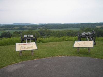
Location. Marker has been reported permanently removed. It was located near 43° 0.111′ N, 73° 36.599′ W. Marker was in Stillwater, New York, in Saratoga County. Marker was on Park Tour Road, on the right when traveling east. Marker is in Saratoga National Historical Park at the Great Redoubt stop on the auto tour road. Touch for map. Marker was in this post office area: Stillwater NY 12170, United States of America.
We have been informed that this sign or monument is no longer there and will not be replaced. This page is an archival view of what was.
Other nearby markers. At least 8 other markers are within walking distance of this location. Burgoyne’s Retreat (here, next to this marker); Readying to Retreat (a few steps from this marker); Main Crown Forces Hospital (about 300 feet away, measured in a direct line); Crown Forces Artillery Park (about 400 feet away); Burial Site of General Fraser (approx. 0.2 miles away); The Great Redoubt (approx. 0.2 miles away); Crown Forces Baggage Park (approx. 0.2 miles away); Retreat, Pursuit, and Surrender (approx. ¼ mile away). Touch for a list and map of all markers in Stillwater.
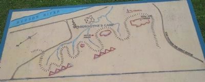
More about this marker. The top of the marker features a map of the British fortifications that were located on this site in 1777. Indicated are Burgoyne’s Camp, the hospital, artillery park and wartime roads and structures.
Also see . . .
1. The Battle of Saratoga 1777. A British perspective of the Battle of Saratoga from BritishBattles.com (Submitted on August 7, 2008, by Bill Coughlin of Woodland Park, New Jersey.)
2. Saratoga National Historical Park. National Park Service. (Submitted on August 7, 2008, by Bill Coughlin of Woodland Park, New Jersey.)
Photographed By Bill Coughlin, July 13, 2008
6. Marker Map
The map on the marker shows the layout of Burgoyne's camp on the Saratoga Battlefield. Indicated on the map are the locations of the encampments, fortifications, hospital, artillery park, and wartime roads and structures. The location of the marker is also shown.
Credits. This page was last revised on November 23, 2022. It was originally submitted on August 7, 2008, by Bill Coughlin of Woodland Park, New Jersey. This page has been viewed 952 times since then and 12 times this year. Last updated on November 20, 2022, by Steve Stoessel of Niskayuna, New York. Photos: 1. submitted on July 18, 2013, by Bill Coughlin of Woodland Park, New Jersey. 2, 3. submitted on August 7, 2008, by Bill Coughlin of Woodland Park, New Jersey. 4. submitted on July 18, 2013, by Bill Coughlin of Woodland Park, New Jersey. 5, 6. submitted on August 7, 2008, by Bill Coughlin of Woodland Park, New Jersey. • Bill Pfingsten was the editor who published this page.
