Near Egan in Moody County, South Dakota — The American Midwest (Upper Plains)
The Lone Tree
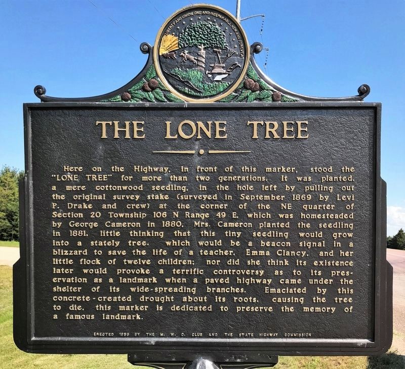
Here on the Highway, in front of this marker, stood the "Lone Tree" for more than two generations. It was planted, a mere cottonwood seedling, in the hole left by pulling out the original survey stake (surveyed in September 1869 by Levi P. Drake and crew) at the corner of the NE quarter of Section 20 Township 106 N Range 49 E, which was homesteaded by George Cameron in 1880, Mrs. Cameron planted the seedling in 1881, little thinking that this tiny seedling would grow into a stately tree, which would be a beacon signal in a blizzard to save the life of a teacher, Emma Clancy, and her little flock of twelve children; nor did she think its existence later would provoke a terrific controversy as to its preservation as a landmark when a paved highway came under the shelter of its wide-spreading branches. Emaciated by this concrete-created drought about its roots, causing the tree to die, this marker is dedicated to preserve the memory of a famous landmark.
Erected 1956 by the M. W. C. Club and the State Highway Commission. (Marker Number 133.)
Topics and series. This historical marker is listed in this topic list: Landmarks. In addition, it is included in the South Dakota State Historical Society Markers series list. A significant historical month for this entry is September 1869.
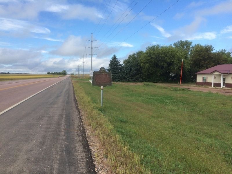
Location. 43° 58.737′ N, 96° 43.745′ W. Marker is near Egan, South Dakota, in Moody County. Marker is at the intersection of State Highway 34 and 474th on State Highway 34. Touch for map. Marker is in this post office area: Egan SD 57024, United States of America. Touch for directions.
Other nearby markers. At least 8 other markers are within 9 miles of this marker, measured as the crow flies. Veteran's Memorial Park (approx. 4.3 miles away); Lake County / Moody County (approx. 7.9 miles away); Governor Bill Janklow (approx. 7.9 miles away); Moody County Veterans Memorial (approx. 8.2 miles away); Jones School District #60 (approx. 8.7 miles away); Flandreau (approx. 8.8 miles away); Chicago, Milwaukee & St. Paul Depot (approx. 8.8 miles away); Waxdahl Claim Shack (approx. 8.8 miles away).
Also see . . . Fixing History. 2018 article by Eric Sandbulte in The Brookings Register. “The problem was that it was difficult to read, as a lot of the paint had been worn off through the years. Worse yet, the sign seemed to be on its last legs, only being supported by two bolts instead of its original 12. It was in rough shape.” (Submitted on September 27, 2018.)
Credits. This page was last revised on September 9, 2021. It was originally submitted on February 5, 2017, by Ruth VanSteenwyk of Aberdeen, South Dakota. This page has been viewed 1,422 times since then and 145 times this year. Last updated on September 7, 2021. Photos: 1. submitted on September 7, 2021. 2. submitted on February 5, 2017, by Ruth VanSteenwyk of Aberdeen, South Dakota. • Mark Hilton was the editor who published this page.

