Franklin in Williamson County, Tennessee — The American South (East South Central)
Battle of Franklin, Eastern Flank
Carnton
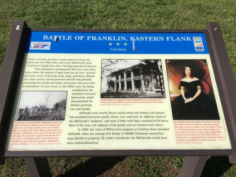
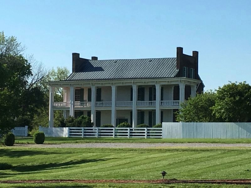
Their plantation encompassed 700 acres, more than three times the amount of open land you see here. Around you were scores of grazing cattle, hogs, and sheep. Behind you, there stood a steam-powered sawmill and gristmill, processing the hardwood timber and grains that grew here in abundance. To your front, in the 1850s work was being completed on the mansion’s two-story back porch, which demonstrated the family’s growing size and wealth.
Although some nearby farms raised cotton and tobacco, this plantation produced and grew mostly wheat, corn, and fruit. In addition, much of the McGavock’s “property,” and most of their work force, consisted of 39 slaves. Most of the time, the majority of the people seen at Carnton were slaves.
In 1860, the value of McGavock’s property at Carnton alone exceeded $350,000, when the average free family in Middle Tennessee owned less than $9,000 in property. By today’s standards, the McGavocks would have been multimillionaires.
Erected by Tennessee Civil War Trails.
Topics and series. This historical marker is listed in these topic lists: African Americans • Agriculture • War, US Civil. In addition, it is included in the Tennessee Civil War Trails series list. A significant historical year for this entry is 1860.
Location. 35° 54.301′ N, 86° 51.531′ W. Marker is in Franklin, Tennessee, in Williamson County. Marker can be reached from Eastern Flank Circle, 0.4 miles south of Lewisburg Pike (Business U.S. 431), on the right when traveling west. Located in Eastern Flank Battlefield Park. Touch for map. Marker is at or near this postal address: 1345 Eastern Flank Cir, Franklin TN 37064, United States of America. Touch for directions.
Other nearby markers. At least 8 other markers are within walking distance of this marker. A different marker also named Battle of Franklin, Eastern Flank (a few steps from this marker); Hood's Retreat (a few steps from this marker); The Final Campaign 1864 (a few steps from this marker); a different marker also named The Battle of Franklin (a few steps from this marker); Standing at the Crossroads 1861 (a few steps from this marker); Becoming the Front Line 1862 (a few steps from this marker); A Crucial War Zone 1863 (a few steps from this marker); a different marker also named Battle of Franklin, Eastern Flank (within shouting distance of this marker). Touch for a list and map of all markers in Franklin.
Also see . . . Carnton Plantation. (Submitted on May 15, 2017, by Brandon Stahl of Fairfax, Virginia.)

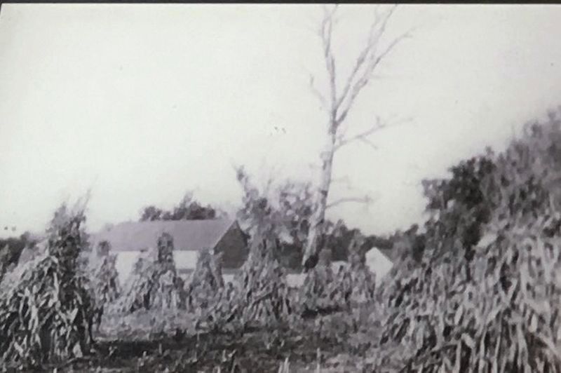
Courtesy Williamson County Archives
3. Williamson County Crops
At the start of the Civil War, Williamson County had fields of tobacco, sorghum, fruit trees, wheat, and cotton, but the largest yields were corn, maize grew at Carton, the Carter House, and nearly all of the other 1,400 farms in the county. In breads, stews, and mush, the crop was staple in the diet of cilians, slave, and soldiers alike. It was also the key ingredient in one of the most popular medicines of the time – whiskey.

Battle of Franklin Trust Archives
4. Carrie Winder
The profitable crops at Carnton were grains, but John McGavock’s wife, Carrie Winder, came from a family that made a fortune in sugar cane. The Windsers lived in the Mississippi delta, an area that produced the vast majority of America’s native sugar supply. While living at Carnton, John and Carrie McGavock continued to own a sugar plantation in Louisiana, which was said to reap $30,000 in profits each year
Credits. This page was last revised on December 21, 2021. It was originally submitted on May 15, 2017, by Brandon Stahl of Fairfax, Virginia. This page has been viewed 356 times since then and 22 times this year. Last updated on December 20, 2021, by Bradley Owen of Morgantown, West Virginia. Photos: 1, 2, 3, 4, 5. submitted on May 15, 2017, by Brandon Stahl of Fairfax, Virginia. • J. Makali Bruton was the editor who published this page.


