Bethel in Windsor County, Vermont — The American Northeast (New England)
Eighteen Hundred And Froze To Death / United Church Of Bethel
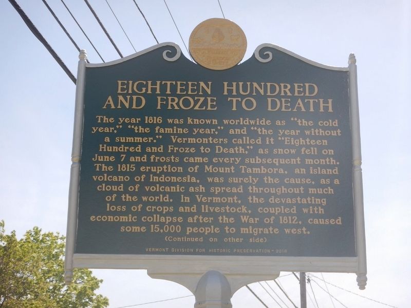
Eighteen Hundred and Froze to Death
The year 1816 was known worldwide as "the cold year", "the famine year", and "the year without a summer". Vermonters called it "Eighteen Hundred and Froze to Death", as snow fell on June 7 and frosts came every subsequent month. The 1815 eruption of Mount Tambora, an island volcano of Indonesia, was surely the cause, as a cloud of volcanic ash spread throughout much of the world. In Vermont, the devastating loss of crops and livestock, coupled with economic collapse after the war of 1812, caused some 15,000 people to migrate west.
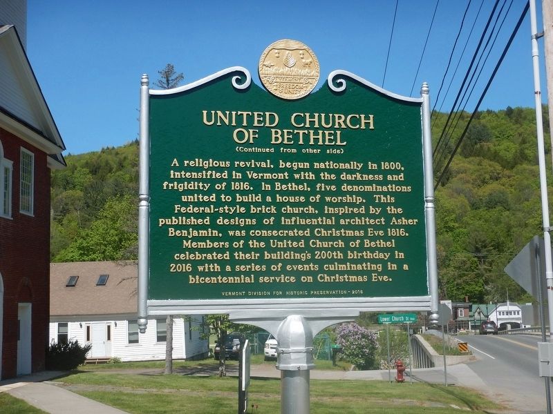
United Church of Bethel
(Continued from other side)
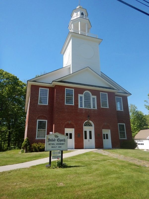
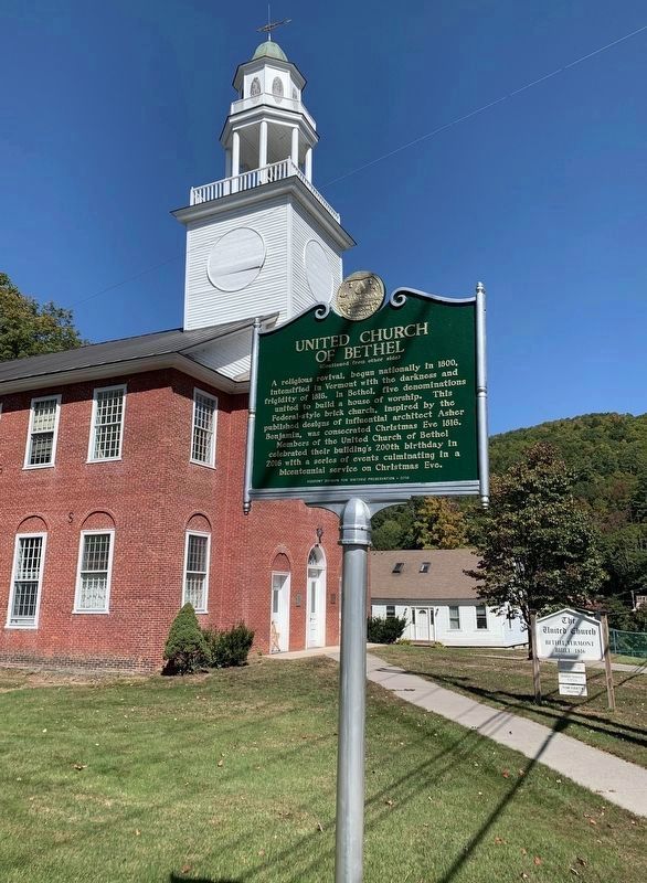
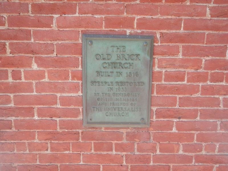
A religious revival, begun nationally in 1800, intensified in Vermont with the darkness and frigidity of 1816. In Bethel, five denominations united to build a house of worship. This Federal-style brick church, inspired by the published designs of influential architect Asher Benjamin, was consecrated Christmas Eve 1816. Members of the United Church of Bethel celebrated their building's 200th anniversary in 2016 with a series of events culminating in a bicentennial service on Christmas Eve.
Erected 2016 by Vermont Division for Historic Preservation.
Topics. This historical marker is listed in these topic lists: Agriculture • Churches & Religion • War of 1812. A significant historical date for this entry is December 24, 1816.
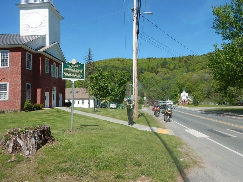
Location. 43° 49.911′ N, 72° 38.169′ W. Marker is in Bethel, Vermont, in Windsor County. Marker is at the intersection of Church Street (Vermont Route 12) and Lower Church Street, on the right when traveling west on Church Street. Marker is located adjacent the United Church of Bethel. Touch for map. Marker is at or near this postal address: 134 Church Street, Bethel VT 05032, United States of America. Touch for directions.
Other nearby markers. At least 8 other markers are within 8 miles of this marker, measured as the crow flies. Burning of Royalton (approx. 4.6 miles away); The Royalton Raid (approx. 4.6 miles away); Stone Turnpike Marker (approx. 4.6 miles away); Jessie LaFountain Bigwood (approx. 5.8 miles away); Wagon Wheels Farm (approx. 6.2 miles away); Joseph Smith Monument (approx. 6.6 miles away); Site of 1780 Raid (approx. 6.6 miles away); Dorothy Thompson Memorial Common (approx. 7.2 miles away).
Regarding Eighteen Hundred And Froze To Death / United Church Of Bethel. The United Church of Bethel is on the National Register of Historic Places
Credits. This page was last revised on September 22, 2020. It was originally submitted on May 21, 2017. This page has been viewed 527 times since then and 44 times this year. Last updated on September 18, 2020, by Steve Stoessel of Niskayuna, New York. Photos: 1, 2, 3, 4. submitted on May 21, 2017, by Kevin Craft of Bedford, Quebec. 5. submitted on September 18, 2020, by Steve Stoessel of Niskayuna, New York. 6. submitted on May 21, 2017, by Kevin Craft of Bedford, Quebec. • J. Makali Bruton was the editor who published this page.
