Corinne in Box Elder County, Utah — The American Mountains (Southwest)
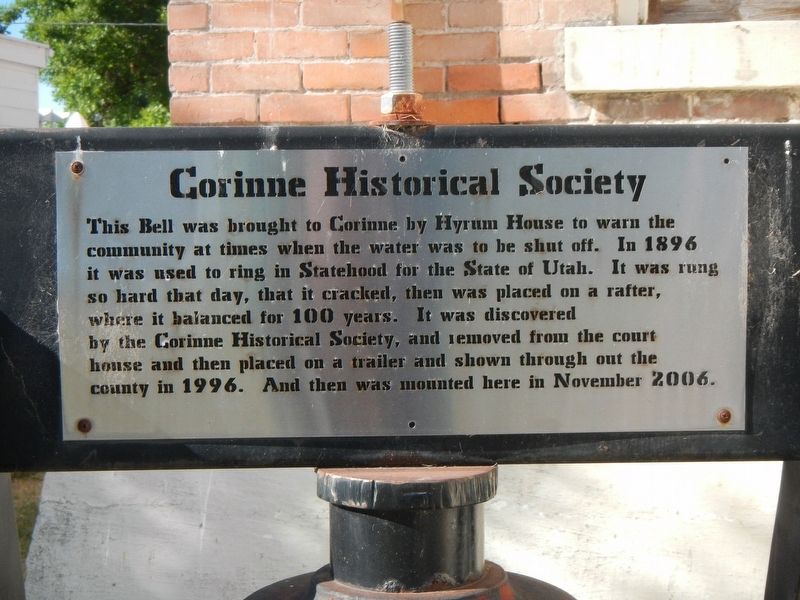
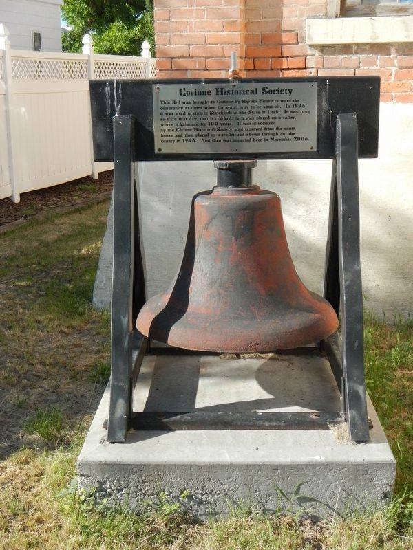
Water Bell
Corinne Historical Society
Erected 2006 by Corinne Historical Society.
Topics and series. This historical marker is listed in this topic list: Communications. In addition, it is included in the Historic Bells series list. A significant historical year for this entry is 1896.
Location. 41° 32.855′ N, 112° 6.714′ W. Marker is in Corinne, Utah, in Box Elder County. Marker is at the intersection of West 2300 North and North 4000 West, on the right when traveling west on West 2300 North. Touch for map. Marker is at or near this postal address: 3999 West 2300 North, Corinne UT 84307, United States of America. Touch for directions.
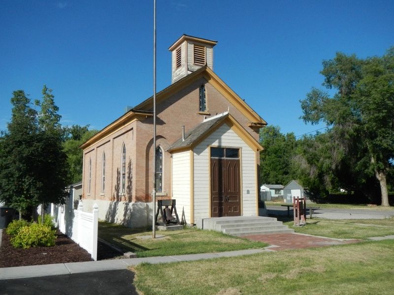
Other nearby markers. At least 8 other markers are within 5 miles of this marker, measured as the crow flies. Corinne Methodist Episcopal Church (a few steps from this marker); The First Weather Station in Utah (about 400 feet away, measured in a direct line); Corinne Opera House (about 500 feet away); Presbyterian Centennial (approx. 0.2 miles away); Corinne - Pioneer Railroad Town (approx. 0.3 miles away); Call's Fort (approx. 4.9 miles away); The Davis Fort-Built 1851 (approx. 4.9 miles away); Union Pacific Depot-Built 1907 (approx. 5 miles away). Touch for a list and map of all markers in Corinne.
Credits. This page was last revised on August 26, 2020. It was originally submitted on July 9, 2017. This page has been viewed 322 times since then and 18 times this year. Last updated on August 26, 2020, by Carl Scott Zimmerman of Kirkwood, Missouri. Photos: 1, 2, 3. submitted on July 9, 2017, by Barry Swackhamer of Brentwood, California. • J. Makali Bruton was the editor who published this page.


