The National Mall in Northwest Washington in Washington, District of Columbia — The American Northeast (Mid-Atlantic)
Washington: The City
National Mall and Memorial Parks
— National Park Service, U.S. Department of the Interior —
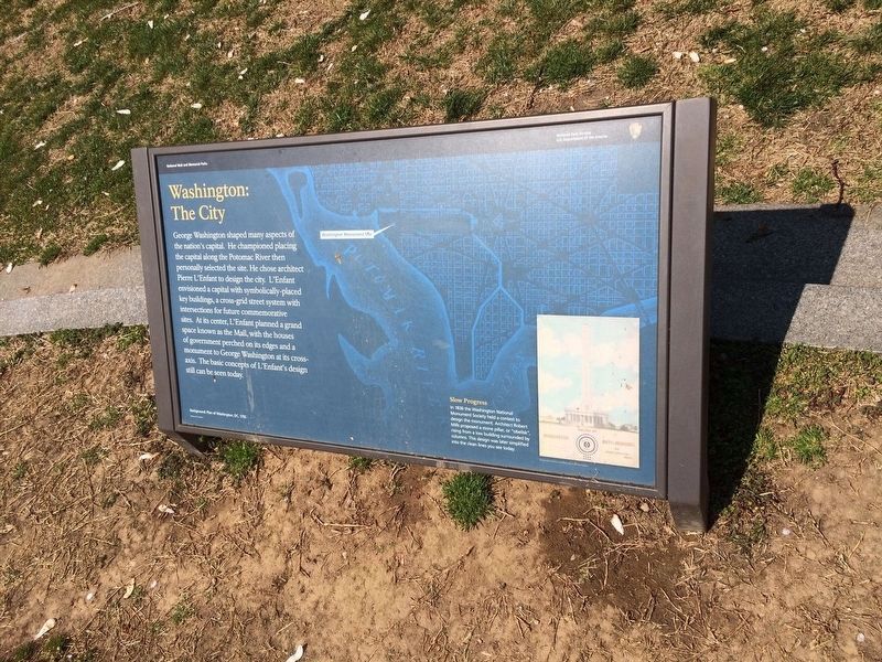
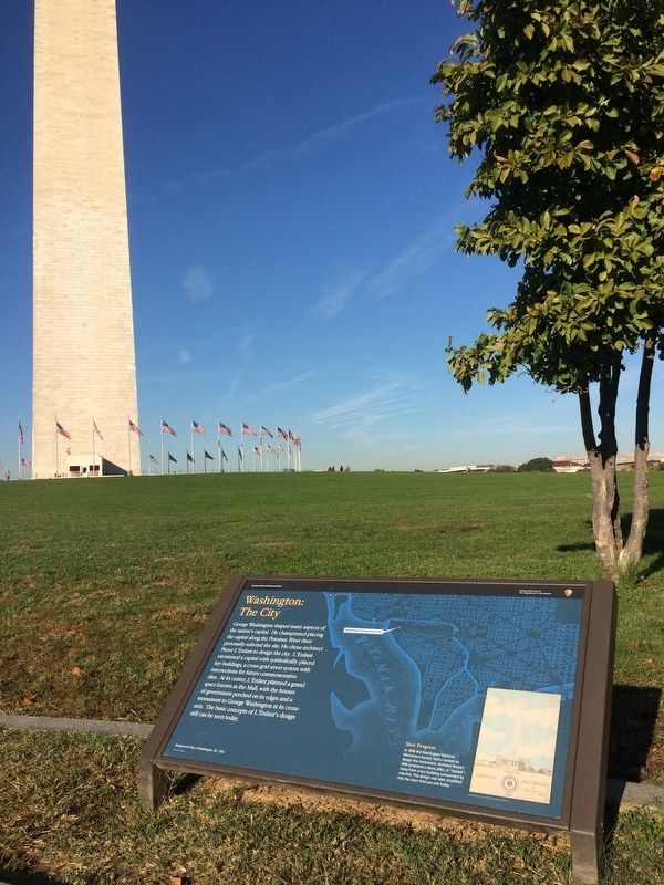
George Washington shaped many aspects of the nation's capital. He championed placing the capital along the Potomac River then personally selected the site. He chose architect Pierre L'Enfant to design the city. L'Enfant envisioned a capital with symbolically-placed key buildings, a cross-grid street system with intersections for future commemorative sites. At its center, L'Enfant planned a grand space known as the Mall, with the houses of government perched on its edges and a monument to George Washington at its cross-axis. The basic concepts of L'Enfant's design still can be seen today.
Slow Progress
In 1836 the Washington National Monument Society held a contest to design the monument. Architect Robert Mills proposed a stone pillar, or "obelisk", rising from a low building surrounded by columns. This design was later simplified into the clean lines you see today.
Erected by National Park Service, U.S. Department of the Interior.
Topics and series. This historical marker is listed in this topic list: Notable Places. In addition, it is included in the Former U.S. Presidents: #01 George Washington series list. A significant historical year for this entry is 1792.
Location. 38° 53.372′ N, 77° 2.018′ W. Marker is in Northwest Washington in Washington, District of Columbia. It is in The National Mall. Marker can be reached from 15th Street Northwest south of Madison Drive Northwest, on the right when traveling south. Touch for map. Marker is in this post office area: Washington DC 20024, United States of America. Touch for directions.
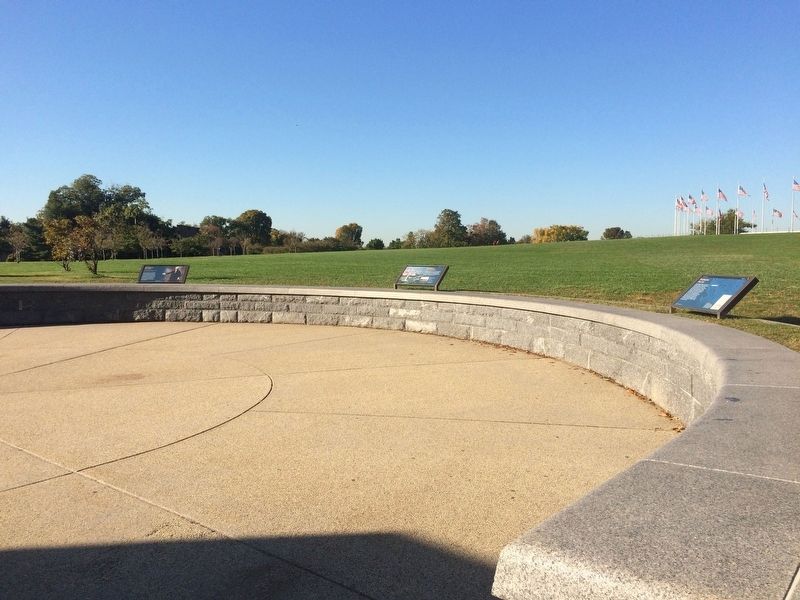
Other nearby markers. At least 8 other markers are within walking distance of this marker. Washington: The Monument (here, next to this marker); Washington: The Man (a few steps from this marker); A Monumental Legacy (within shouting distance of this marker); a different marker also named A Monumental Legacy (within shouting distance of this marker); Sheltering Branches (about 500 feet away, measured in a direct line); Raoul Wallenberg Place (about 700 feet away); Jean Hillery and Thomas Quadros (about 700 feet away); Live Oaks: A Symbol of Strength (about 700 feet away). Touch for a list and map of all markers in Northwest Washington.
More about this marker.
Background: Plan of Washington, DC, 1792
Credits. This page was last revised on January 30, 2023. It was originally submitted on October 27, 2017, by Devry Becker Jones of Washington, District of Columbia. This page has been viewed 218 times since then and 17 times this year. Last updated on March 24, 2022, by Connor Olson of Kewaskum, Wisconsin. Photos: 1. submitted on February 2, 2022, by Adam Margolis of Mission Viejo, California. 2, 3. submitted on October 27, 2017, by Devry Becker Jones of Washington, District of Columbia. • J. Makali Bruton was the editor who published this page.


