Augusta in Kennebec County, Maine — The American Northeast (New England)
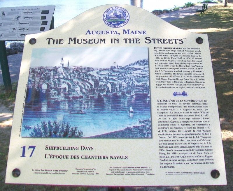
Shipbuilding Days / L'époque des chantiers navals
Augusta, Maine
— The Museum in the Streets® —
Inscription.
In the golden years of wooden shipbuilding, Maine-built ships carried American goods worldwide-and Augusta was no exception! Master William Jones' shipyard was located here in the 1840s & 1850s. From 1837 to 1856, 37 vessels were built in Augusta, including ships for coastal and blue water trade. Shipbuilding began here in the 1770s & 1780s when the Howards of Fort Western built vessels to transport lumber to Boston. In 1849 the J. A. Thompson was built to carry gold prospectors to California. The largest vessel to come out of Augusta was the 800-ton R. M. Mills, launched in 1854. Under Captain George Perry, the Mills sailed from New York to Belgium, to England, then on to Egypt. On another voyage, the Mills and Perry delivered railroad cars, an engine, and tracks to Burma.
Erected by The Museum in the Streets®. (Marker Number 17.)
Topics and series. This historical marker is listed in these topic lists: Industry & Commerce • Waterways & Vessels. In addition, it is included in the The Museum in the Streets®: Augusta, Maine series list. A significant historical year for this entry is 1837.
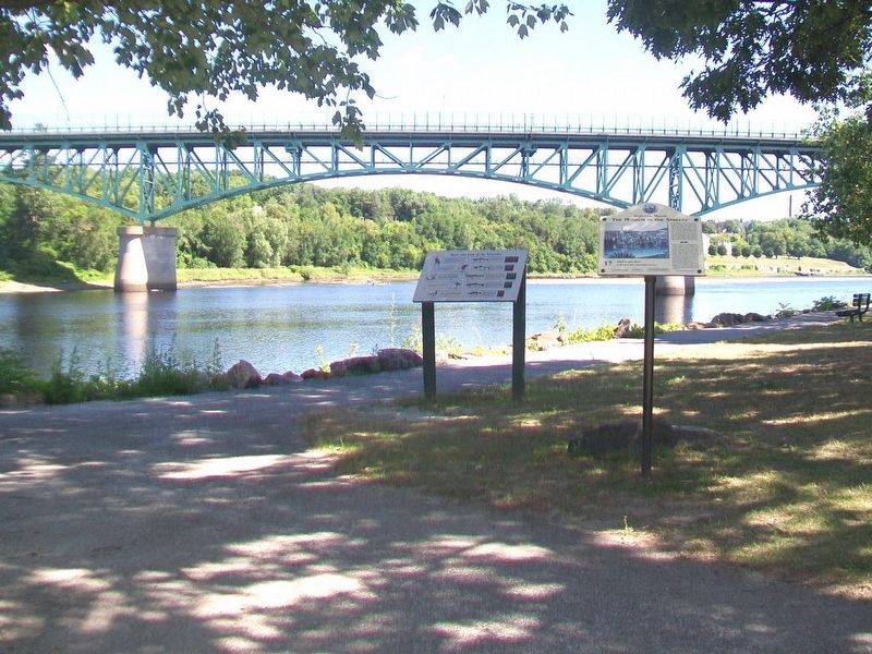
Location. 44° 18.842′ N, 69° 46.43′ W. Marker is in Augusta, Maine, in Kennebec County. Marker is on Front Street south of Winthrop Street, on the left when traveling south. Touch for map. Marker is at or near this postal address: Waterfront Park, Augusta ME 04330, United States of America. Touch for directions.
Other nearby markers.
At least 8 other markers are within walking distance of this marker. Steamboat Landing / L'embarquement des bateaux à vapeur (within shouting distance of this marker); Granite Block / Un Bâtiment en granit (within shouting distance of this marker); Cornerstone Day / La pose des premières pierres (within shouting distance of this marker); United States Post Office / La Poste des Etats-Unis (about 300 feet away, measured in a direct line); Flag Protest ~ War of 1812 / Drapeau en berne - Guerre de 1812 (about 300 feet away); Market Square / La place du Marché (about 300 feet away); Augusta's Publishing Empire / L'empire de l'édition à Augusta (about 400 feet away); The Great Fire / Le Grand incendie (about 500 feet away). Touch for a list and map of all markers in Augusta.
Also see . . . The Museum in the Streets Tour Map, Augusta, Maine. (Submitted on December 7, 2017, by William Fischer, Jr. of Scranton, Pennsylvania.)
Credits. This page was last revised on November 17, 2021. It was originally submitted on December 7, 2017, by William Fischer, Jr. of Scranton, Pennsylvania. This page has been viewed 210 times since then and 9 times this year. Last updated on July 19, 2020, by Ray Gurganus of Washington, District of Columbia. Photos: 1, 2. submitted on December 7, 2017, by William Fischer, Jr. of Scranton, Pennsylvania. • Michael Herrick was the editor who published this page.

