Vizarrón de Montes in Cadereyta de Montes, Querétaro, Mexico — The Central Highlands (North America)
Citizens of Vizarrón
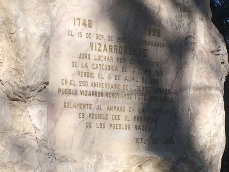
El 15 de Sep. de 1919 la ciudadanía
Vizarronense
juro luchar por el rescate
de la categoría de municipio que
perdió el 8 de april de 1916
En el 250 aniversario de haberse jurado
Pueblo Vizarron renovamos este juramento.
Solamente el amparo de la libertad
es posible que el progreso
de los pueblos nazca
Oct. 23, 1998
On September 15, 1919, the
Citizens of Vizarrón
swore to continue their struggle to recover the category of municipality that they lost on April 8, 1916.
On the 250th anniversary of the founding of the town of Vizarrón, we renew this oath.
Only through the struggle towards liberty is it possible that the progress of the people is born.
October 23, 1998
Erected 1998.
Topics. This historical marker is listed in these topic lists: Civil Rights • Government & Politics • Settlements & Settlers. A significant historical date for this entry is September 15, 1919.
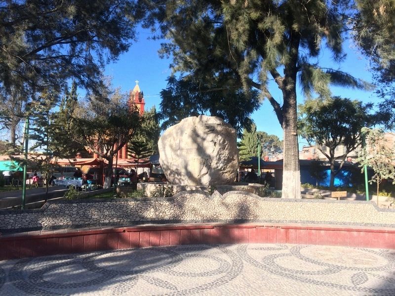
Location. 20° 49.897′ N, 99° 43.198′ W. Marker is in Vizarrón de Montes, Querétaro, in Cadereyta de Montes. Marker is on Carretera Jalpan de Serra - San Juan del Río, on the left when traveling north. The marker is located in the northern part of the Vizarrón de Montes central park, right off the main street of the town. Touch for map. Marker is in this post office area: Vizarrón de Montes QUE 76509, Mexico. Touch for directions.
Other nearby markers. At least 8 other markers are within 19 kilometers of this marker, measured as the crow flies. Los Herrera Caves (approx. 16.8 kilometers away); José Manuel Herrera Olvera (approx. 17.4 kilometers away); Monument to the Miner (approx. 17.8 kilometers away); Monument to Ezequiel Montes (1820-1883) (approx. 17.9 kilometers away); Lope Díez de Aux de Armendáriz (approx. 18.1 kilometers away); Temple of the Most Pure Conception (approx. 18.1 kilometers away); The Temple of Saints Peter and Paul (approx. 18.1 kilometers away); Friar Pablo de Betancur (approx. 18.2 kilometers away).
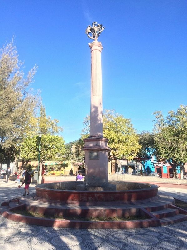
Photographed By J. Makali Bruton, December 9, 2017
5. A nearby column dedicated to Mexican Independence
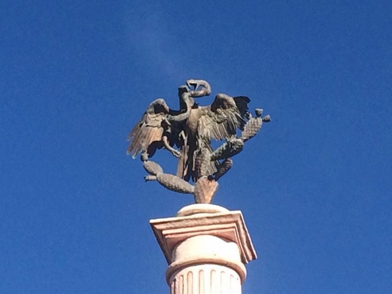
The column's marker reads: Plaza de la Independencia, 1879. The column is topped by a sculpture of an eagle perched on a cactus while eating a snake, the traditional symbol of Mexico through Aztec mythology.
Credits. This page was last revised on February 1, 2018. It was originally submitted on February 1, 2018, by J. Makali Bruton of Accra, Ghana. This page has been viewed 141 times since then and 13 times this year. Photos: 1, 2, 3, 4, 5, 6. submitted on February 1, 2018, by J. Makali Bruton of Accra, Ghana.
