San Miguel de Allende, Guanajuato, Mexico — The Central Highlands (North America)
The Suchil
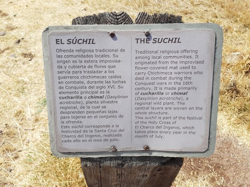
El Súchil
Ofrenda religiosa tradicional de las comunidades locales. Su origen es la estera improvisada y cubierta de flores que servía para trasladar a los guerreros chichimecas caídos en combate, durante las luchas de Conquista del siglo XVI. Su elemento principal es la cucharilla o chimal (Dasylirion acrotriche), planta silvestre regional, de la cual se desprenden pequeñas lajas para tejerse en el conjunto de la ofrenda.
Este súchil corresponde a la festividad de la Santa Cruz del Charco del Ingenio, realizada cada año en el mes de julio.
The Suchil
Traditional religious offering among local communities. It originated from the improvised flower-covered mat used to carry Chichimeca warriors who died in combat during the Conquest wars in the 16th century. It is made primarily of cucharilla or chimal (Dasylirion acrotriche), a regional wild plant. The central layers are woven on the whole structure.
This suchil is part of the festival of the Holy Cross of El Charco del Ingenio, which takes place every year in the month of July.
Topics. This historical marker is listed in these topic lists: Anthropology & Archaeology • Churches & Religion • Native Americans • Wars, Non-US.
Location. 20° 55.111′ N, 100° 43.71′ W. Marker is in San Miguel de Allende, Guanajuato. Marker can be reached from Unnamed road just north of Calle Paloma. The marker near the Plaza of the Four Winds, along the walking trail at the "El Charco del Ingenio" Botanical Garden on the outskirts of San Miguel de Allende. Touch for map. Marker is in this post office area: San Miguel de Allende GTO 37720, Mexico. Touch for directions.
Other nearby markers. At least 8 other markers are within walking distance of this marker. Las Colonias Reservoir (about 90 meters away, measured in a direct line); The Water Mill (about 90 meters away); The Pool of El Chan (about 150 meters away); House of Pedro Vargas (approx. 1.4 kilometers away); The First Spanish Prisoners (approx. 1.4 kilometers away); Tellez Delgado Gas Pump (approx. 1.4 kilometers away); Juan José Martínez (approx. 1.4 kilometers away); Temple of the Oratory of Saint Philip Neri (approx. 1.4 kilometers away). Touch for a list and map of all markers in San Miguel de Allende.

Photographed By J. Makali Bruton, February 10, 2018
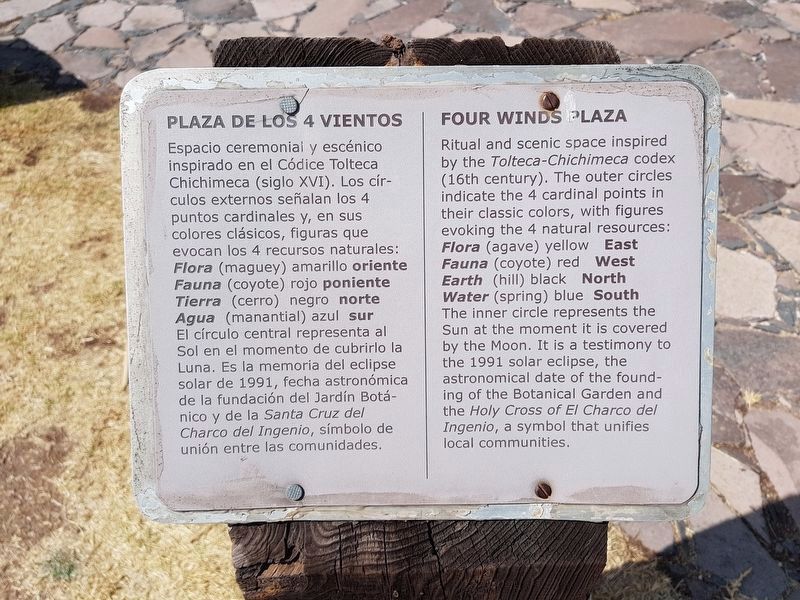
2. The nearby Four Winds Plaza marker
Espacio ceremoniai y escénico inspirado en el Códice Tolteca Chichimeca (siglo XVI). Los círculos externos señalan los 4 puntos cardinales y, en sus colores clásicos, figuras que evocan los 4 recursos naturales:
Flora (maguey) amarillo oriente
Fauna (coyote) rojo poniente
Tierra (cerro) negro norte
Agua (manantial) azul sur
El círculo central representa al Sol en el momento de cubrirlo la Luna. Es la memoria del eclipse solar de 1991, fecha astronómica de la fundación del Jardín Botánico y de la Santa Cruz del Charco del Ingenio, símbolo de unión entre las comunidades.
Ritual and scenic space inspired by the Tolteca-Chichimeca codex (16th century). The outer circles indicate the 4 cardinal points in their classic colors, with figures evoking the 4 natural resources:
Flora (agave) yellow East
Fauna (coyote) red West
Earth (hill) black North
Water (spring) blue South
The inner circle represents the Sun at the moment it is covered by the Moon. It is a testimony to the 1991 solar eclipse, the astronomical date of the founding of the Botanical Garden and the Holy Cross of El Charco del Ingenio, a symbol that unifies local communities.

Photographed By J. Makali Bruton, February 10, 2018
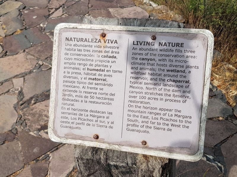
3. The nearby Living Nature marker
Una abundante vida silvestre habita las tres zonas del área de conservación: la cañada, cuyo microclima propicia un amplio rango de plantas y animales; el humedal en torno a la presa, hábitat de aves diversas, y el matorral, paisaje típico del semiárido mexicano. Al frente se extiende la reserva norte del Jardín, más de 50 hectáreas dedicadas a la restauración natural. En el horizonte destacan las serranías de La Márgara al este, Los Picachos al sur, y al oeste el perfil de la Sierra de Guanajuato.
An abundant wildlife fills three zones of the conservation area: the canyon, with its micro-climate that hosts diverse plants and animals; the wetland, a wildfowl habitat around the reservoir, and the chaparral, typical semiarid landscape of Mexico. North of the dam and canyon stretches the Reserve, over 100 acres in process of restoration. On the horizon appear the mountain ranges of La Margara to the East, Los Picachos to the South, and far to the West the profile of the Sierra de Guanajuato.

Photographed By J. Makali Bruton, February 10, 2018
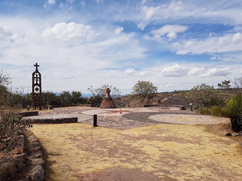
5. The Suchil Marker
The featured marker can be seen here to the far left, near the suchil at the Plaza of the Four Winds. Towards the middle in this view can be seen the additional Four Winds Plaza marker and to the far right the additional Living Nature marker.
Credits. This page was last revised on September 1, 2020. It was originally submitted on February 14, 2018, by J. Makali Bruton of Accra, Ghana. This page has been viewed 157 times since then and 15 times this year. Photos: 1, 2, 3, 4, 5. submitted on February 14, 2018, by J. Makali Bruton of Accra, Ghana.

