Abbottstown in Adams County, Pennsylvania — The American Northeast (Mid-Atlantic)
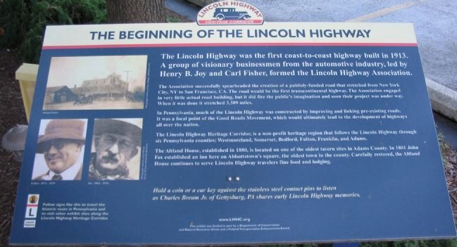
The Beginning of the Lincoln Highway
The Association successfully spearheaded the creation of a publicly-funded road that stretched from New York City, NY to San Francisco, CA. The road would be the first transcontinental highway. The Association engaged in very little actual road building, but it did fire the public's imagination and soon their project was under way. When it was done it stretched 3,389 miles.
In Pennsylvania, much of the Lincoln Highway was constructed by improving and linking pre-existing roads. It was a focal point of the Good Roads Movement, which would ultimately lead to the development of the highways all over the nation.
The Lincoln Highway Heritage Corridor, is a non-profit heritage region that follows the Lincoln Highway through six Pennsylvania counties: Westmoreland, Somerset, Bedford, Fulton, Franklin, and Adams.
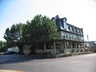
The Altland House, established in 1880, is located on one of the oldest tavern sites in Adams County. In 1801 John Fox established an inn here on Abbotstown's square, the oldest town in the county. Carefully restored, the Altland House continues to serve Lincoln Highway travelers fine food and lodging.
Hold a coin or car key against the stainless steel contact pins to listen as Charles Bream Jr. of Gettysburg, PA shares early Lincoln Highway memories.
Erected by Lincoln Highway Heritage Corridor.
Topics and series. This historical marker is listed in this topic list: Roads & Vehicles. In addition, it is included in the Lincoln Highway series list. A significant historical year for this entry is 1913.
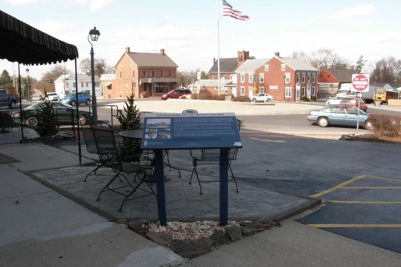
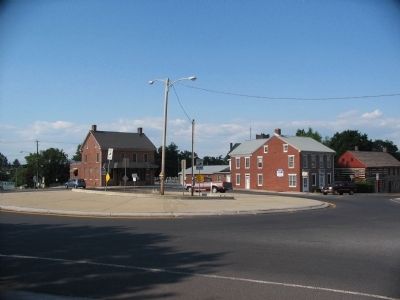
Location. 39° 53.189′ N, 76° 59.087′ W. Marker is in Abbottstown, Pennsylvania, in Adams County. Marker is at the intersection of King Street (U.S. 30) and Queen Street (State Highway 194) on King Street. Located in the parking lot for the Altland House. Touch for map. Marker is in this post office area: Abbottstown PA 17301, United States of America. Touch for directions.
Other nearby markers. At least 8 other markers are within 4 miles of this marker, measured as the crow flies. Veterans Memorial (within shouting distance of this marker); John Abbott (within shouting distance of this marker); Gettysburg Campaign (approx. 2.7 miles away); Swigart's Mill (approx. 3.4 miles away); War Dog Memorial (approx. 3.4 miles away); M60-A3 Tank (approx. 3.4 miles away); U.S. Navy F-14 Tomcat No. 162916 (approx. 3˝ miles away); East Berlin (approx. 3.6 miles away). Touch for a list and map of all markers in Abbottstown.
More about this marker. On the upper left is a photograph of the Altland House in earlier times. Below it are portraits of Fisher and Joy.
Also see . . . Lincoln Highway Heritage Corridor website. (Submitted on June 3, 2009, by Christopher Busta-Peck of Shaker Heights, Ohio.)
Credits. This page was last revised on February 22, 2021. It was originally submitted on September 23, 2008, by Craig Swain of Leesburg, Virginia. This page has been viewed 5,263 times since then and 40 times this year. Last updated on February 21, 2021, by Carl Gordon Moore Jr. of North East, Maryland. Photos: 1, 2. submitted on September 23, 2008, by Craig Swain of Leesburg, Virginia. 3. submitted on July 16, 2019, by Larry Gertner of New York, New York. 4. submitted on September 23, 2008, by Craig Swain of Leesburg, Virginia. • Bill Pfingsten was the editor who published this page.


