San Diego in San Diego County, California — The American West (Pacific Coastal)
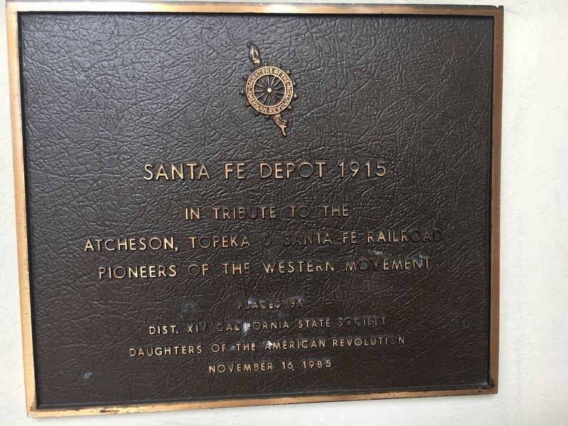
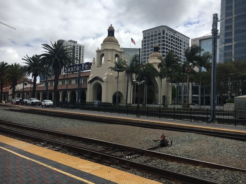
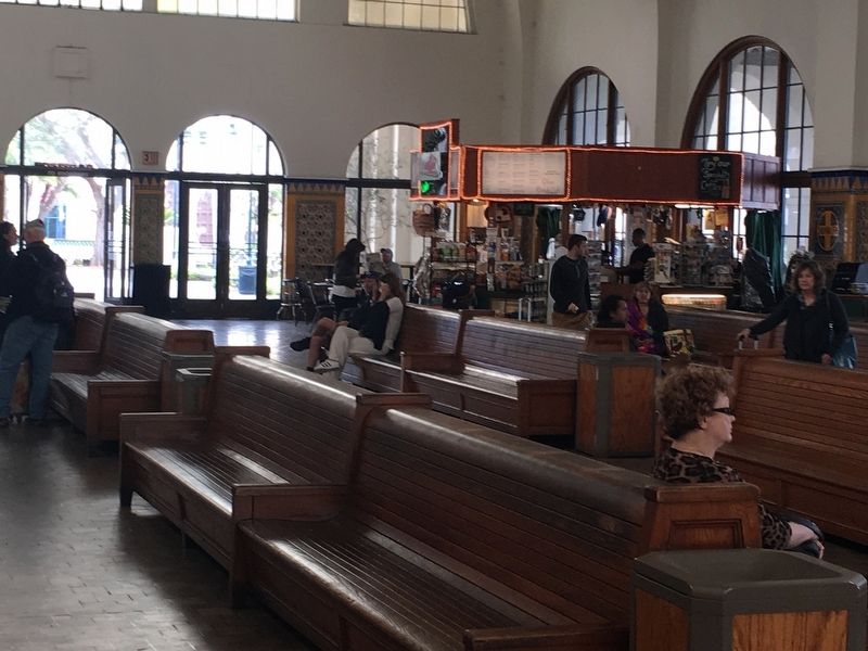
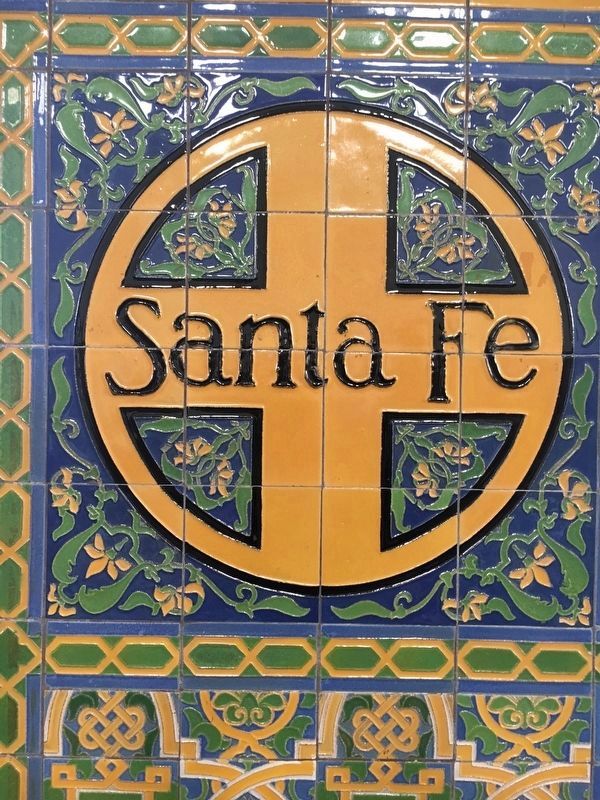
Santa Fe Depot
In tribute to the
Atcheson, Topeka & Santa Fe Railroad
Pioneers of The Western Movement
Placed by
Dist. XIV California State Society
Daughters of the American Revolution
November 16, 1985
Erected 1985 by Dist. XIV California State Society Daughters of the American Revolution (DAR).
Topics and series. This historical marker is listed in this topic list: Railroads & Streetcars. In addition, it is included in the Daughters of the American Revolution series list. A significant historical year for this entry is 1915.
Location. 32° 42.98′ N, 117° 10.174′ W. Marker is in San Diego, California, in San Diego County. Marker can be reached from the intersection of Kettner Boulevard and West Broadway. Marker is at the West Broadway end of the depot. Touch for map. Marker is at or near this postal address: 1050 Kettner Boulevard, San Diego CA 92101, United States of America. Touch for directions.
Other nearby markers. At least 8 other markers are within walking distance of this marker. Lane Field Ballpark Site (approx. 0.2 miles away); United States Aircraft Carrier Memorial (approx. 0.3 miles away); San Diego Barracks (approx. 0.3 miles away); USS San Diego Memorial (approx. 0.3 miles away); “Star of India” (approx. 0.4 miles away); Tuna Fleet Service, World War II (1941-1945) (approx. 0.4 miles away); Clifton A. F. Sprague, Vice Admiral, USN (approx. 0.4 miles away); La Punta de los Muertos (approx. 0.4 miles away). Touch for a list and map of all markers in San Diego.
Additional keywords. Train station, Spreckels, transportation
Credits. This page was last revised on March 2, 2024. It was originally submitted on May 25, 2018, by Col. James F. Jamison, USMC (Ret) of Coronado, California. This page has been viewed 265 times since then and 30 times this year. Last updated on February 26, 2024, by Carolyn Sanders of Plano, Texas. Photos: 1, 2, 3. submitted on May 25, 2018, by Col. James F. Jamison, USMC (Ret) of Coronado, California. 4. submitted on May 29, 2018, by Jamie Gallant Jamison of Coronado, California. • Andrew Ruppenstein was the editor who published this page.


