Lancaster in Fairfield County, Ohio — The American Midwest (Great Lakes)
John Bright #2 Covered Bridge
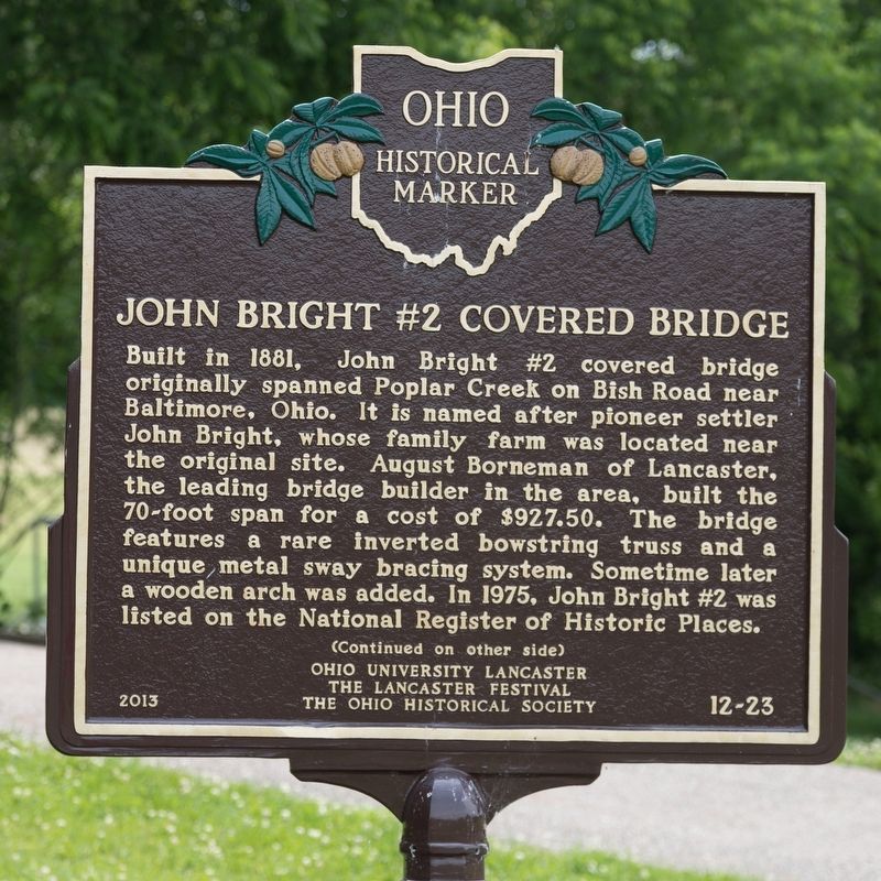
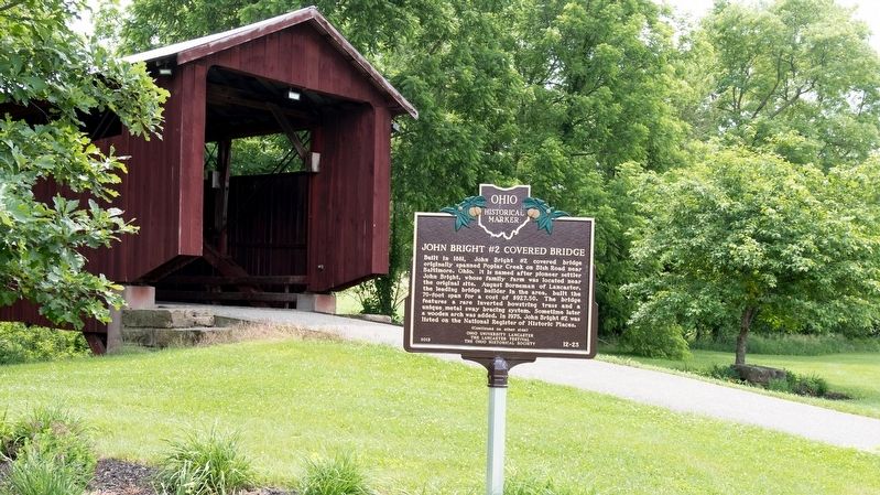
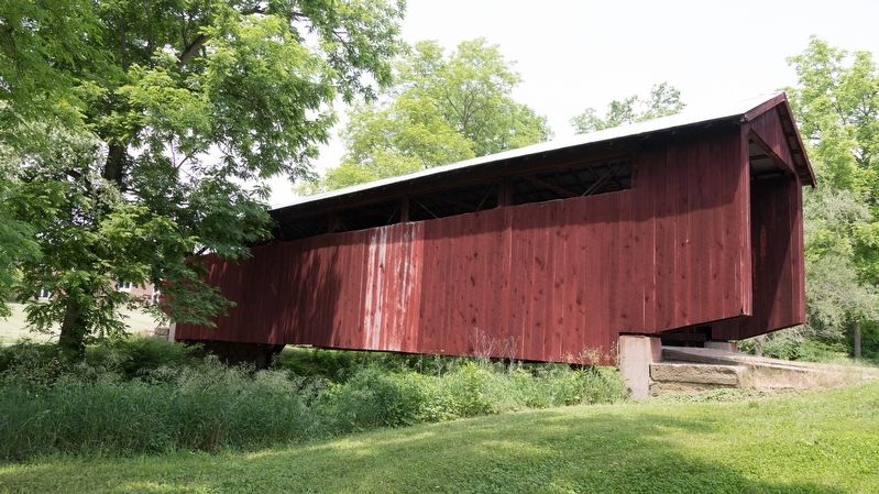
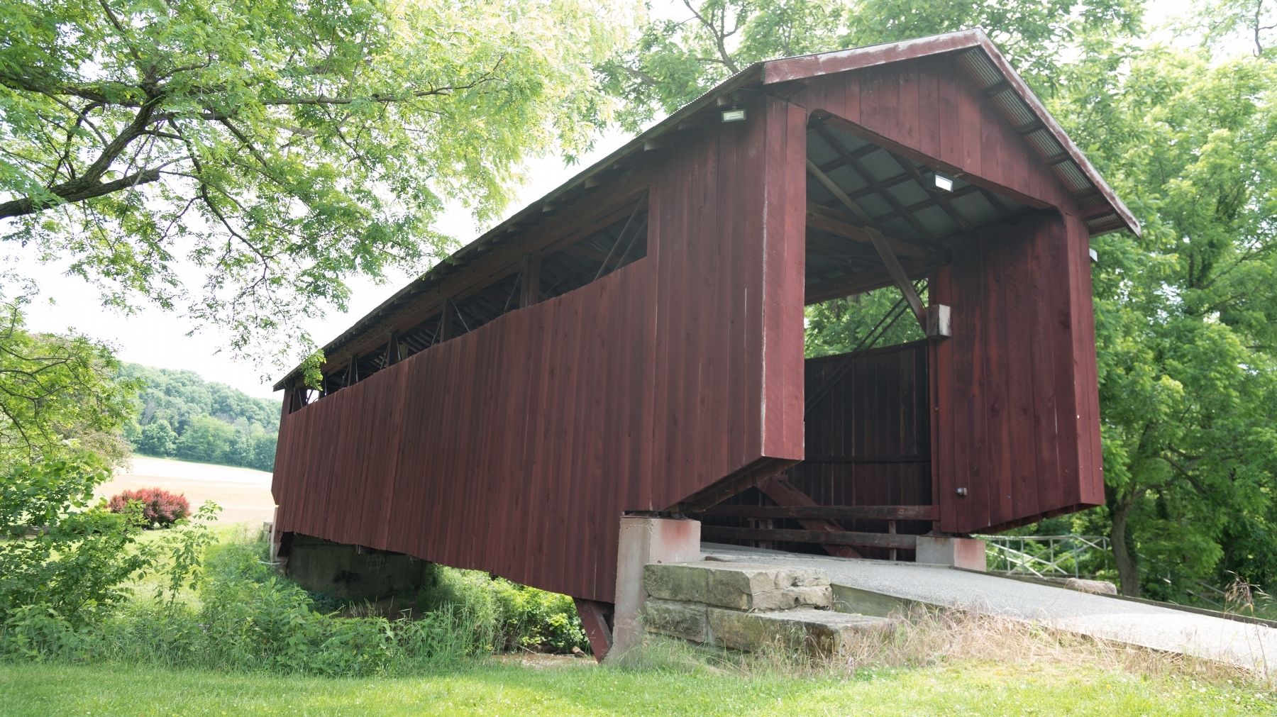
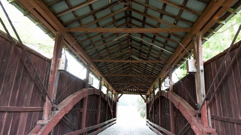
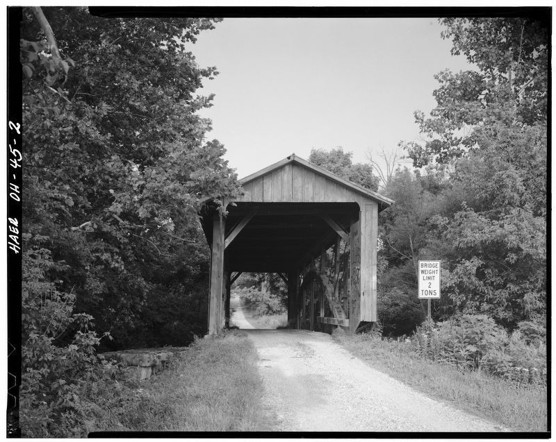
Built in 1881, John Bright #2 covered bridge originally spanned Poplar Creek on Bish Road near Baltimore, Ohio. It is named after pioneer settler John Bright, whose family farm was located near the original site. August Borneman of Lancaster, the leading bridge builder in the area, built the 70-foot span for a cost of $927.50. The bridge features a rare inverted bowstring truss and a unique metal sway bracing system. Sometime later a wooden arch was added. In 1975, John Bright #2 was listed on the National Register of Historic Places.
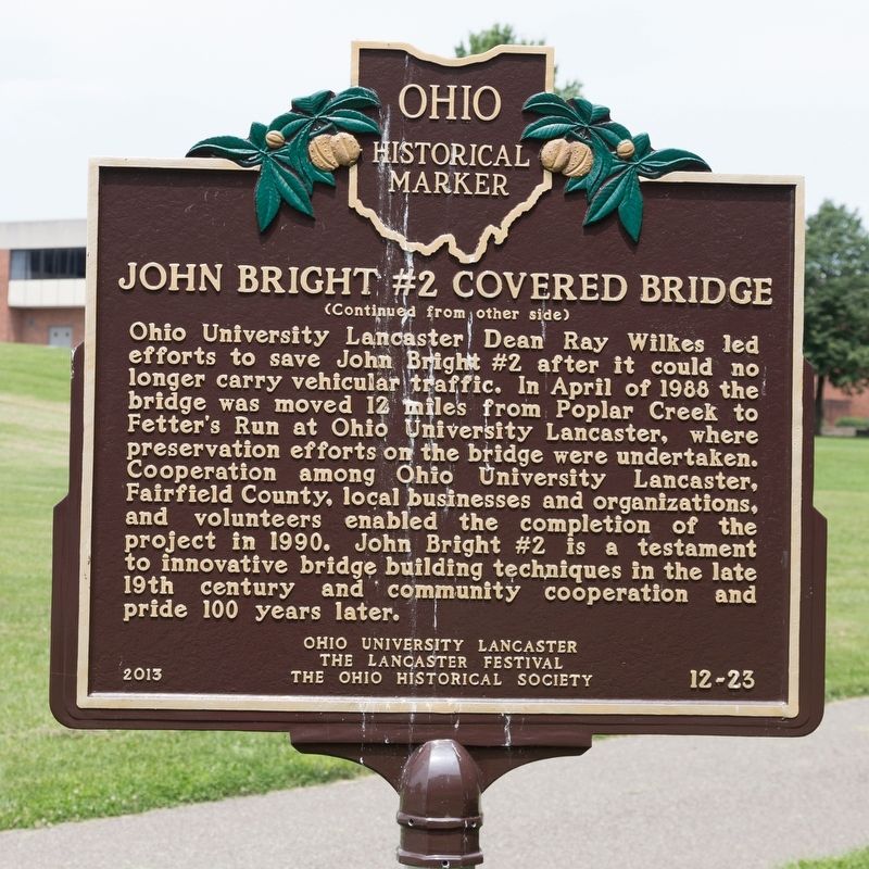
Ohio University Lancaster Dean Ray Wilkes led efforts to save John Bright #2 after it could no longer carry vehicular traffic. In April of 1988 the bridge was moved 12 miles from Poplar Creek to Fetter’s Run at Ohio University Lancaster, where preservation efforts on the bridge were undertaken. Cooperation among Ohio University Lancaster, Fairfield County, local businesses and organizations, and volunteers enabled the completion of the project in 1990. John Bright #2 is a testament to innovative bridge building techniques in the late 19th century and community cooperation and pride 100 years later.
Erected 2013 by Ohio University Lancaster, the Lancaster Festival and The Ohio Historical Society. (Marker Number 12-23.)
Topics and series. This historical marker is listed in this topic list: Bridges & Viaducts. In addition, it is included in the Covered Bridges, and the Ohio Historical Society / The Ohio History Connection series lists. A significant historical month for this entry is April 1988.
Location. 39° 44.262′ N, 82° 35.099′ W. Marker is in Lancaster, Ohio, in Fairfield County. Marker can be reached from the intersection of Granville Pike (Ohio Route 37) and College Avenue, on the right when traveling north. The marker is on the Fairfield Heritage Trail hiking path that parallels Fetter’s Run through the campus of the university, near the faculty parking lot. Touch for map. Marker is at or near this postal address: 1570 Granville Pike, Lancaster OH 43130, United States of America. Touch for directions.
Other nearby markers. At least 8 other markers are within 2 miles of this marker, measured as the crow flies. The Fifty Star Flag (approx. 0.3 miles away); Standing Stone National Bank (approx. 0.8 miles away); Rising Park Centennial Celebration (approx. 0.9 miles away); Civil War Union Soldiers Memorial (approx. 1.1 miles away); Camp Anderson (approx. 1.1 miles away); 166th Infantry 42nd Division World War Memorial (approx. 1.2 miles away); C & O Depot at Carroll, Ohio (approx. 1.2 miles away); Liberty Township No. 6 School (approx. 1.2 miles away). Touch for a list and map of all markers in Lancaster.
Also see . . . The John Bright #2 Covered Bridge #35-23-10. Focus Photography website entry:
Photos of the move of the bridge. “In the spring of 1988, the bridge was transported with only the roof removed to the campus of the Lancaster Branch of Ohio University. Just twelve miles from its original location. The bridge now crosses Fetters Run. Most of the original siding had been removed by vandals.” (Submitted on June 30, 2018.)
Credits. This page was last revised on June 6, 2023. It was originally submitted on June 30, 2018, by J. J. Prats of Powell, Ohio. This page has been viewed 293 times since then and 13 times this year. Last updated on June 2, 2023, by Grant & Mary Ann Fish of Galloway, Ohio. Photos: 1, 2, 3, 4, 5, 6, 7. submitted on June 30, 2018, by J. J. Prats of Powell, Ohio. • J. Makali Bruton was the editor who published this page.
