Deadwood in Lawrence County, South Dakota — The American Midwest (Upper Plains)
Deadwood 1876
— A Trail to Deadwood's Past —
Inscription.
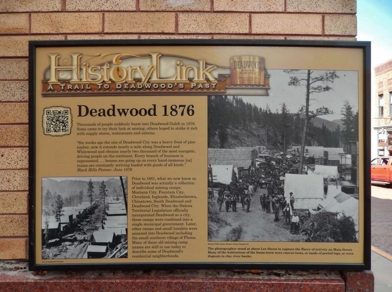
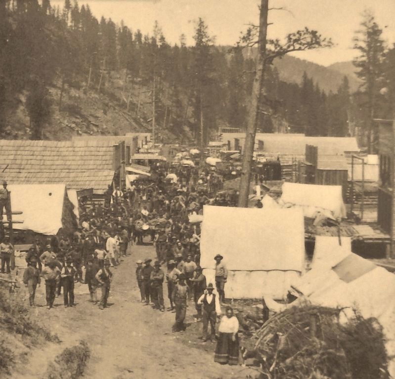
Thousands of people suddenly burst into Deadwood Gulch in 1876. Some came to try their luck at mining; others hoped to strike it rich with supply stores, restaurants and saloons.
"Six weeks ago the site of Deadwood City was a heavy frost of pine timber, now it extends nearly a mile along Deadwood and Whitewood and obtains nearly two thousand of the most energetic, driving people on the continent. Every branch of business is represented, …houses are going up on every hand - immense [ox] trains are constantly arriving loaded with goods of all kinds."
Black Hills Pioneer, June 1876
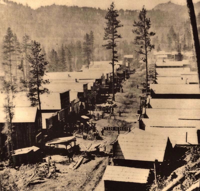
Prior to 1881, what we now know as Deadwood was actually a collection of individual mining camps: Montana City, Fountain City, Cleveland, Ingleside, Elizabethtown, Chinatown, South Deadwood and Deadwood City. When the Dakota Territorial Legislature officially incorporated Deadwood as a city, these camps were combined into a single municipal government. Later, other camps and small hamlets were annexed into Deadwood including the small southern village of Pluma. Many of these old mining camp names are still in use today to describe some of Deadwood's residential neighborhoods.
Erected by The Deadwood Historic Preservation Commission.
Topics. This historical marker is listed in these topic lists: Industry & Commerce • Settlements & Settlers. A significant historical year for this entry is 1876.
Location. 44° 22.621′ N, 103° 43.821′ W. Marker is in Deadwood, South Dakota, in Lawrence County. Marker is at the intersection of Lee Street and Main Street, on the right when traveling west on Lee Street. Mounted at eye-level, directly on the southeast corner of the building. Touch for map. Marker is at or near this postal address: 666 Main St, Deadwood SD 57732, United States of America. Touch for directions.
Other nearby markers. At least 8 other markers are within walking distance of this marker. Jack McCall Capture Site (a few steps from this marker); The Fire of 1879 (a few steps from this marker); Broadway Street (within shouting distance of this marker); Forest Hill (within shouting distance of this marker); St. Johns Episcopal Church, Est. 1880 (within shouting distance of this marker); Waite Block Annex (within shouting distance of this marker); The Great Flood (about 300 feet away, measured in a direct line); Black Hills Trust and Savings Bank (about 300 feet away). Touch for a list and map of all markers in Deadwood.
Also see . . . Deadwood Settlement. The settlement of Deadwood began illegally in the 1870s on land which had been granted to American Indians in the 1868 Treaty of Fort Laramie.
The treaty had guaranteed ownership of the Black Hills to the Lakota people and land disputes were endemic, having reached the United States Supreme Court on several occasions. However, in 1874, Colonel George Armstrong Custer led an expedition into the Black Hills and announced the discovery of gold on French Creek near present-day Custer, South Dakota. This announcement triggered the Black Hills Gold Rush and gave rise to the new and lawless town of Deadwood, which quickly reached a population of around 5,000. (Submitted on August 2, 2018, by Cosmos Mariner of Cape Canaveral, Florida.)
Credits. This page was last revised on October 6, 2021. It was originally submitted on August 2, 2018, by Cosmos Mariner of Cape Canaveral, Florida. This page has been viewed 636 times since then and 83 times this year. Last updated on October 5, 2021, by Connor Olson of Kewaskum, Wisconsin. Photos: 1, 2, 3. submitted on August 2, 2018, by Cosmos Mariner of Cape Canaveral, Florida. • Mark Hilton was the editor who published this page.


