Near Seneca Rocks in Pendleton County, West Virginia — The American South (Appalachia)
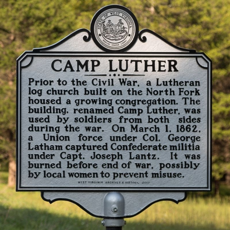
Camp Luther
Erected 2017 by West Virginia Archives and History.
Topics and series. This historical marker is listed in this topic list: War, US Civil. In addition, it is included in the West Virginia Archives and History series list. A significant historical date for this entry is March 1, 1862.
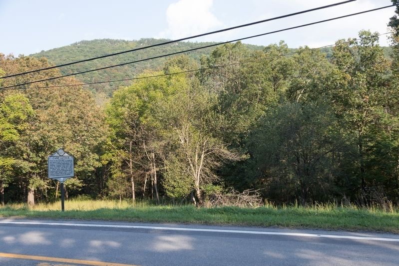
Location. 38° 49.086′ N, 79° 23.315′ W. Marker is near Seneca Rocks, West Virginia, in Pendleton County. Marker is on Mountaineer Drive (U.S. 33) north of Harmon Hills Road (Local Route 9), on the right when traveling west. Touch for map. Marker is in this post office area: Seneca Rocks WV 26884, United States of America. Touch for directions.
Other nearby markers. At least 8 other markers are within 6 miles of this marker, measured as the crow flies. More Than One Way Up (approx. 1.3 miles away); 10th Mountain Division (approx. 1.4 miles away); An 1800’s Garden! (approx. 1˝ miles away); Sites Homestead (approx. 1˝ miles away); A Melting Pot House (approx. 1˝ miles away); Eagle Rocks (approx. 5.2 miles away); Oriskany Sand (approx. 5.8 miles away); The "Battle" of Riverton (approx. 5.8 miles away). Touch for a list and map of all markers in Seneca Rocks.
Credits. This page was last revised on January 4, 2021. It was originally submitted on October 2, 2018, by J. J. Prats of Powell, Ohio. This page has been viewed 570 times since then and 51 times this year. Last updated on January 4, 2021, by Bradley Owen of Morgantown, West Virginia. Photos: 1, 2. submitted on October 2, 2018, by J. J. Prats of Powell, Ohio. • J. Makali Bruton was the editor who published this page.

