Fort Pierre in Stanley County, South Dakota — The American Midwest (Upper Plains)
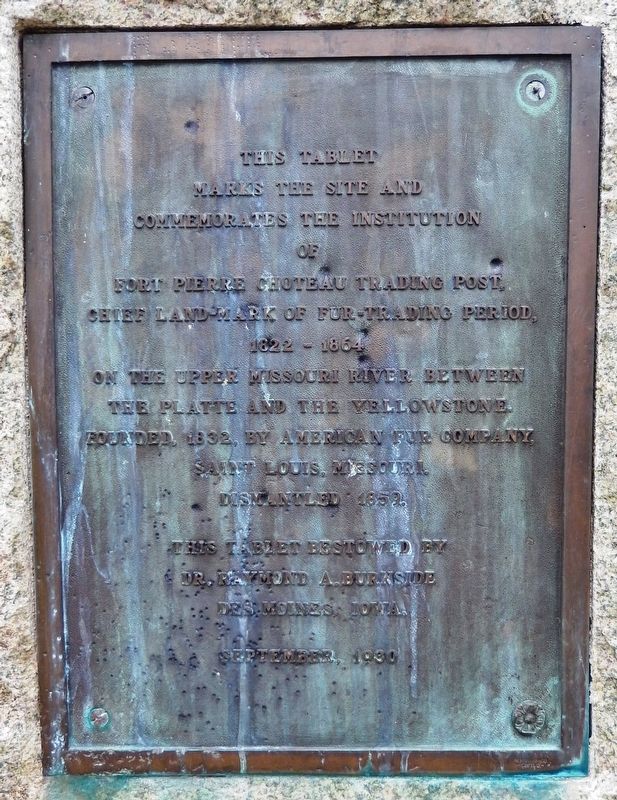
Fort Pierre Choteau Trading Post
marks the site and
commemorates the institution
of
Fort Pierre Choteau Trading Post
chief landmark of fur-trading period,
1822 – 1864
on the Upper Missouri River between
the Platte and the Yellowstone.
Founded, 1832, by American Fur Company,
Saint Louis, Missouri.
Dismantled 1859.
This tablet bestowed by
Dr. Raymond A. Burnside
Des Moines, Iowa.
September, 1930
Erected 1930 by Dr. Raymond A. Burnside, Des Moines, Iowa. (Marker Number 50.)
Topics and series. This historical marker is listed in these topic lists: Forts and Castles • Settlements & Settlers • Waterways & Vessels. In addition, it is included in the South Dakota State Historical Society Markers series list. A significant historical year for this entry is 1822.
Location. 44° 23.456′ N, 100° 23.261′ W. Marker is in Fort Pierre, South Dakota, in Stanley County. Marker can be reached from Fort Chouteau Road, 0.3 miles east of State Route 1806. Located on the grounds of the Fort Pierre Chouteau National Historic Landmark, at the NE end of the walking trail from Fort Chouteau Road. Touch for map. Marker is at or near this postal address: 350 Fort Chouteau Rd, Fort Pierre SD 57532, United States of America. Touch for directions.
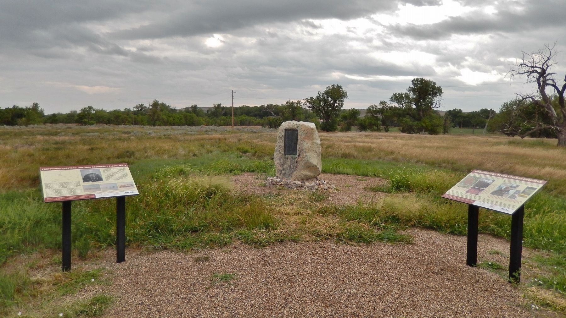
Other nearby markers. At least 8 other markers are within walking distance of this marker. Archaeology at Fort Pierre Chouteau (here, next to this marker); Fort Pierre Chouteau Site (here, next to this marker); Fort Pierre Chouteau: Military Occupancy (1855-1857) (here, next to this marker); Cultures Come Together (within shouting distance of this marker); Fort Pierre Chouteau: Fur Trade (1832-1855) (about 300 feet away, measured in a direct line); Fur Trade on the Upper Missouri River (about 500 feet away); Rivers and Trails (about 600 feet away); Scotty Philip and his Buffalo Ranch (about 600 feet away). Touch for a list and map of all markers in Fort Pierre.
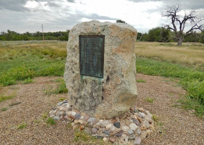
More about this marker. Marker is a large metal plaque, mounted vertically on a large, upright stone.
Related markers. Click here for a list of markers that are related to this marker. Fort Pierre Chouteau National Historic Landmark
Also see . . . Fort Pierre Chouteau Site. Built in 1832, Fort Pierre Chouteau quickly became the most strategic post in the Western Department of the American Fur Company. Located halfway between the headquarters at St. Louis and the northernmost posts in North Dakota and Montana, Fort Pierre Chouteau was the logical place for American Fur Company officials to gather and discuss company business. Established in 1832 by Pierre Chouteau Jr. to replace nearby Fort Tecumseh, Fort Pierre Chouteau became one of the company’s
headquarters of the Upper Missouri region. Its trade area covered thousands of miles of prairie. During its active years, the post received, processed, and shipped hundreds of thousands of beaver pelts, deer skins, and buffalo hides destined for European and eastern markets. (Submitted on October 9, 2018, by Cosmos Mariner of Cape Canaveral, Florida.)
Credits. This page was last revised on March 3, 2022. It was originally submitted on October 6, 2018, by Cosmos Mariner of Cape Canaveral, Florida. This page has been viewed 235 times since then and 19 times this year. Last updated on July 16, 2021. Photos: 1, 2. submitted on October 9, 2018, by Cosmos Mariner of Cape Canaveral, Florida. 3. submitted on October 10, 2018, by Cosmos Mariner of Cape Canaveral, Florida. • Mark Hilton was the editor who published this page.


