Port Wentworth in Chatham County, Georgia — The American South (South Atlantic)
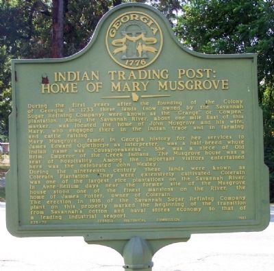
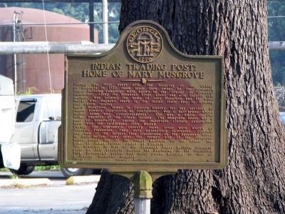
Indian Trading Post: Home of Mary Musgrove
During the first years after the founding of the Colony of Georgia in 1733 these lands (now owned by the Savannah Sugar Refining Company) were known as the "Grange" or "Cowpen" plantation. Along the Savannah River, about one mile East of this marker, was located the home of John Musgrove and his wife, Mary, who engaged there in the Indian trade and in farming and cattle raising.
Mary Musgrove, famed in Georgia history for her services to James Edward Oglethorpe as interpreter, was a half-breed whose Indian name was "Cousaponakeesa". She was a niece of Old Brim, Emperor of the Creek Indians. The Musgrove house was a seat of hospitality. Among the important visitors entertained here was the celebrated John Wesley.
During the nineteenth century these lands were known as Colerain Plantation. They were extensively cultivated. Colerain was one of the largest rice plantations on the Savannah River. In Ante-Bellum days near the former site of the Musgrove house stood one of the finest mansions on the River, the home of James Potter, owner of Colerain.
The erection in 1916 of the Savannah Sugar Refining Company plant on this property marked the beginning of the transition from Savannah's cotton and naval stores economy to that of a leading industrial seaport.
Erected 1961 by Georgia Historical Commission. (Marker Number 025-78.)
Topics and series. This historical marker is listed in these topic lists: Industry & Commerce • Native Americans • Waterways & Vessels • Women. In addition, it is included in the Georgia Historical Society series list. A significant historical year for this entry is 1733.
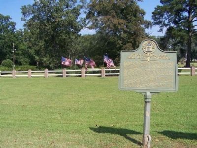
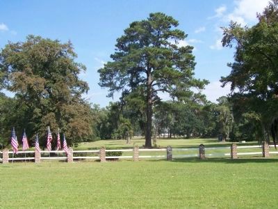
Location. 32° 8.525′ N, 81° 9.426′ W. Marker is in Port Wentworth, Georgia, in Chatham County. Marker is on South Coastal Highway (State Highway 25) near Oxnard Drive. Marker is at the Savannah Sugar Refining Company. Touch for map. Marker is at or near this postal address: 501 S Coastal Hwy, Port Wentworth GA 31407, United States of America. Touch for directions.
Other nearby markers. At least 8 other markers are within 3 miles of this marker, measured as the crow flies. Battle Between Confederate Gunboats and Union Field Artillery (here, next to this marker); Savannah Sugar Refinery Explosion (approx. 0.4 miles away); Georgia Ports Authority (approx. one mile away); Savannah River Plantations (approx. 1˝ miles away); Atlantic Coastal Highway Through Georgia (approx. 1.6 miles away); Gulfstream Aerospace Corp. (approx. 2.4 miles away); Laurel Hill Plantation (approx. 2.9 miles away in South Carolina); Plantation Cistern (approx. 3 miles away in South Carolina). Touch for a list and map of all markers in Port Wentworth.
Regarding Indian Trading Post: Home of Mary Musgrove.
Where are the Plantations?
Tangible proof of the Southern plantation is often difficult to come by, particularly in Savannah. Some were destroyed by neglect and the ravages of time, and some simply ceased to exist. As the 20th century unfolded, the Savannah River Plantations slowly gave way to modern industry. In 1935, Union Camp purchased the land that was once the Hermitage and built an impressive pulp and paper mill. Mulberry Grove became the site of the Georgia Ports Authority and BASF Corporation. The Tweedside/Colerain Plantation became the site of Savannah Sugar. Kerr-McGee (formerly Kemira) is located on the site of the old Deptford Plantation. And Brampton Plantation became the site of several warehouses. Wormsloe Plantation, 10 miles southeast of the historic district, is the only early plantation in the area unblemished by industry, testimony to another time and different way of life.
Also see . . . Mary Musgrove (ca. 1700-ca. 1763). New Georgia Encyclopedia website entry (Submitted on October 16, 2008, by Mike Stroud of Bluffton, South Carolina.)
Photographed By David Seibert, August 15, 2005
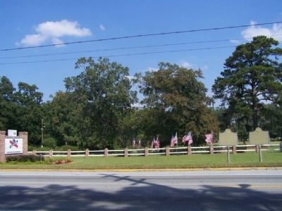
4. Duplicate Indian Trading Post: Home of Mary Musgrove Marker
This is duplicate marker, which stands (stood) near the guardhouse at the end of the road leading to the Imperial Sugar Refinery, formerly the Dixie Crystals refinery. The refinery exploded on February 7, 2008; the buildings were extensively damaged, and 14 people were killed. The area where this marker stands is no longer accessible.
Credits. This page was last revised on October 17, 2021. It was originally submitted on October 16, 2008, by Mike Stroud of Bluffton, South Carolina. This page has been viewed 7,685 times since then and 81 times this year. Last updated on November 9, 2020, by Darren Jefferson Clay of Duluth, Georgia. Photos: 1, 2, 3. submitted on October 16, 2008, by Mike Stroud of Bluffton, South Carolina. 4. submitted on October 19, 2008, by David Seibert of Sandy Springs, Georgia. 5. submitted on October 16, 2008, by Mike Stroud of Bluffton, South Carolina. • Devry Becker Jones was the editor who published this page.
