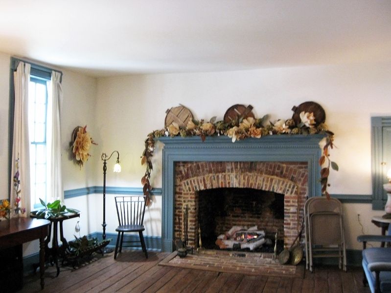
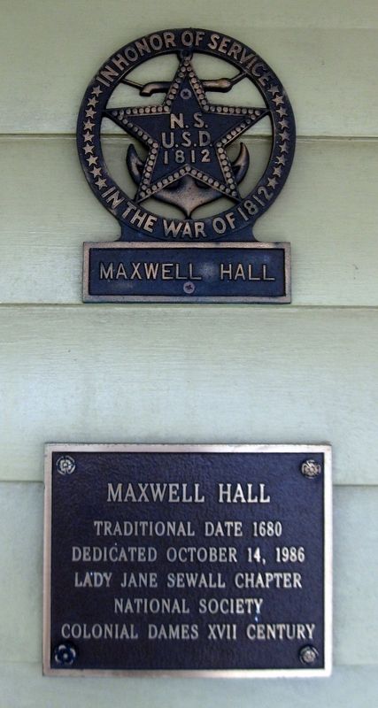
Hughesville in Charles County, Maryland — The American Northeast (Mid-Atlantic)
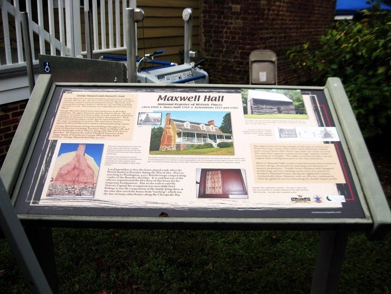
Maxwell Hall
National Register of Historic Places
— circa 1860 • House built 1768 • Renovations 1833 and 1980 —
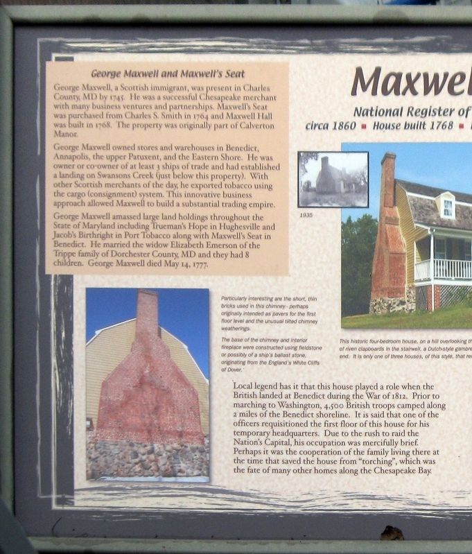
George Maxwell and Maxwell's Seat
George Maxwell, a Scottish immigrant, was present in Charles County, MD by 1745. He was a successful Chesapeake merchant with many business ventures and partnerships. Maxwell's Seat was purchased from Charles S. Smith in 1764 and Maxwell Hall was built in 1768. The property was originally part of Calverton Manor.
George Maxwell owned stores and warehouses in Benedict, Annapolis, the upper Patuxent, and the Eastern Shore. He was owner or co-owner of at least 3 ships of trade and has established a landing on Swansons Creek (just below this property). With other Scottish merchants of the day, he exported tobacco using the cargo (consignment) system. This innovative business approach allowed Maxwell to build a substantial trading empire.
George Maxwell amassed large land holdings throughout the State of Maryland including Trueman's Hope in Hughesville and Jacob's Birthright in Port Tobacco along with Maxwell's Seat in Benedict. He married widow Elizabeth Emerson of the Trippe family of Dorchester County, MD and they had 8 children. George Maxwell died May 14, 1777.
Local legend has it that this house played a role when the British landed at Benedict during the War of 1812. Prior to the marching on Washington, 4,500 British troops camped along 2 miles of Benedict shoreline. It is said that one of the officers requisitioned the first floor of this house for his temporary headquarters. Due to the rush to raid the Nation's Capital, his occupation was mercifully brief. Perhaps it was the cooperation of the family living there at the time that saved the house from "torching", which was the fate of many other homes along the Chesapeake Bay.
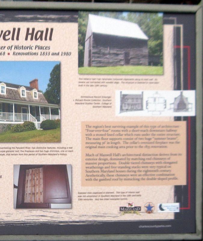
The region's best surviving example of the type of architecture "Four-over-four" rooms withe a short-reach downstairs hallway with a stone-lined cellar which runs under the entire structure. The main floor supports consist of two large "summer beams", measuring 36' in length. The cellar's oversized fireplace was the original main cooking area prior to the 1933 renovation.
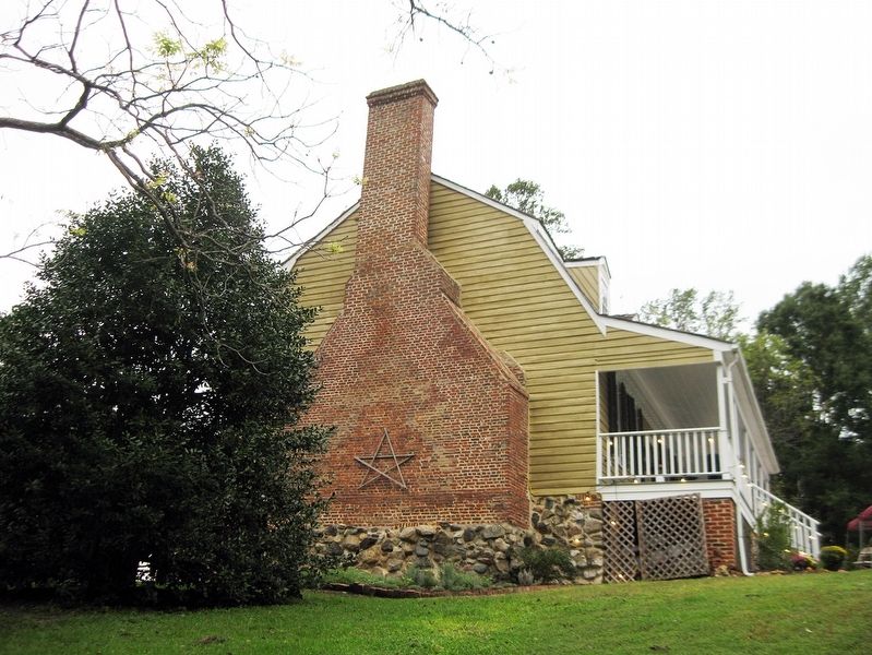
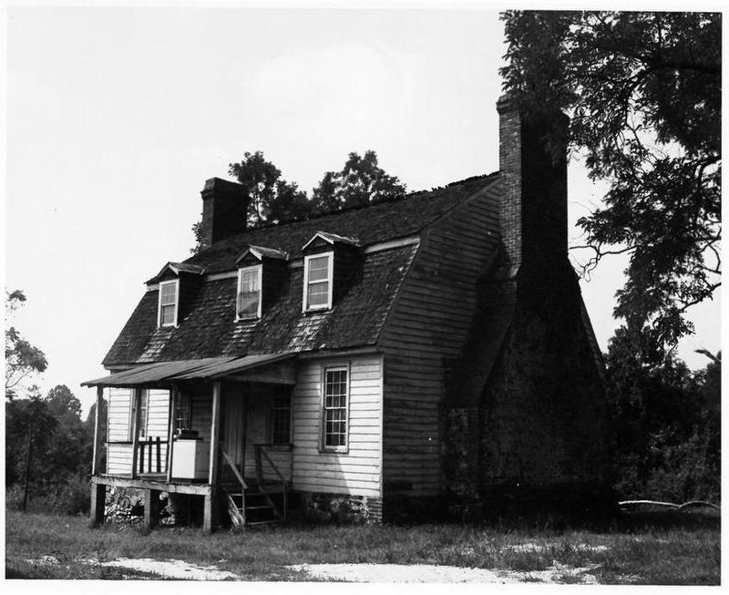
Much of Maxwell Hall's architectural distinction derives from it exterior design, dominated by matching end chimneys of massive proportions. Double-tiered chimneys with elongated weatherings and free-standing stacks were very typical on Southern Maryland houses during the eighteenth century. Aesthetically, these chimneys were an effective combination with the gambrel roof by mimicking the double-sloped profile.
(Color image of a brick chimney at one end of the house)
Particularly interesting are the short, thin bricks used in this chimney—perhaps originally intended as pavers for the first floor
via NPS, unknown
2. Maxwell Hall
National Register of Historic Places Nomination Form
Click for more information.
Click for more information.
The base of the chimney and interior fireplace were constructed using fieldstone or possibly of a ship's ballast stone, originating from the England's White Cliffs of Dover.
(Black and white image of the house)
1935
(Color image of the house)
This historic four-bedroom house, on a hill overlooking the Patuxent River, has distinctive features, including a wall of riven clapboards in the stairwell, a Dutch-style gambrel roof, five five places and two huge chimneys, one on each end. It is only one of three houses, of this style, that remain from this period of Southern Maryland history.
(Color image of a tobacco barn)
This tobacco barn has hand-hewn horizontal clapboards along its east wall. Its beams are connected with wooden pegs. The structure is believed to have been built in the late 19th century.
(Black & white illustrations of the house)
Architectural Record Drawings J. Richard Rivoire Collection, Southern Maryland Studies Center, College of Southern Maryland.
(Color image of door exposing architectural features within a wall)
Exposed riven clapboard in stairwell. This type of interior wall was not uncommon in Southern Maryland in the 18th and early 19th centuries. Very few intact examples survive.
Erected by
Maryland Office of Tourism, Southern Maryland Heritage Area Consortium.
Topics. This historical marker is listed in these topic lists: Architecture • Colonial Era • Industry & Commerce • War of 1812. A significant historical date for this entry is May 14, 1777.
Location. 38° 32.067′ N, 76° 42′ W. Marker is in Hughesville, Maryland, in Charles County. Marker can be reached from Teagues Point Road, 0.1 miles south of Fairfax Court. When traveling northwest on Point Teagues Road, the entrance to Maxwell Hall will be on the left. Follow access road for 1/4 mile. Marker is on the north side of the house. Touch for map. Marker is at or near this postal address: 17388 Teagues Point Road, Hughesville MD 20637, United States of America. Touch for directions.
Other nearby markers. At least 8 other markers are within 2 miles of this marker, measured as the crow flies. War of 1812 (within shouting distance of this marker); Begin Your Adventure (within shouting distance of this marker); Test of a New Nation (within shouting distance of this marker); Enemy Camp (approx. 1.3 miles away); On This Farm (approx. 1.3 miles away); Camp Stanton (approx. 1.3 miles away); Solid Ground (approx. 1.4 miles away); a different marker also named Camp Stanton (approx. 1.7 miles away). Touch for a list and map of all markers in Hughesville.
Credits. This page was last revised on September 14, 2023. It was originally submitted on January 16, 2019, by David Lassman of Waldorf, Maryland. This page has been viewed 428 times since then and 36 times this year. Photos: 1. submitted on January 16, 2019, by David Lassman of Waldorf, Maryland. 2. submitted on September 14, 2023, by Larry Gertner of New York, New York. 3, 4, 5, 6, 7. submitted on January 16, 2019, by David Lassman of Waldorf, Maryland. • Bill Pfingsten was the editor who published this page.
