Financial District in Manhattan in New York County, New York — The American Northeast (Mid-Atlantic)
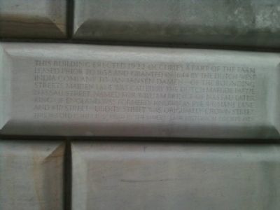
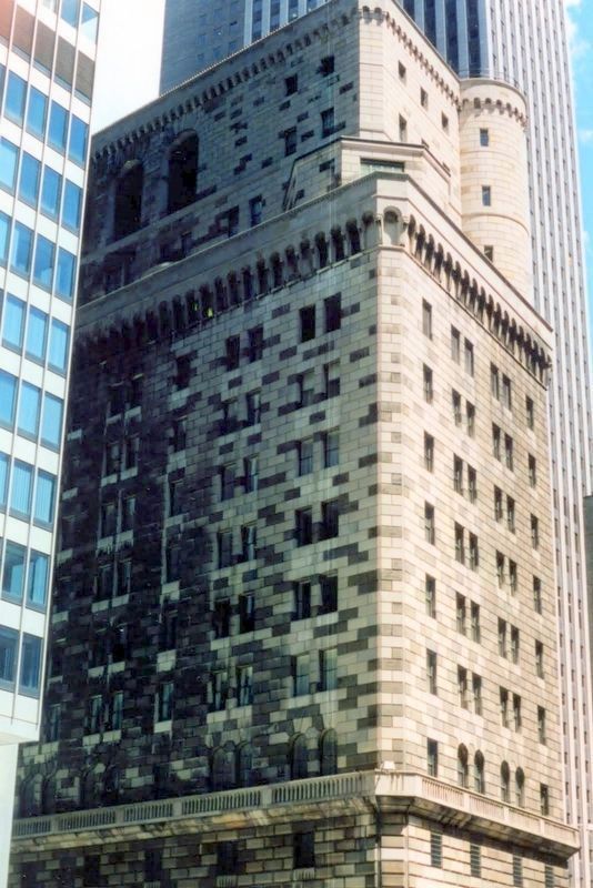
33 Liberty Street
Erected by Maiden Land Historical Society.
Topics. This historical marker is listed in these topic lists: Colonial Era • Roads & Vehicles. A significant historical year for this entry is 1922.
Location. 40° 42.53′ N, 74° 0.527′ W. Marker is in Manhattan, New York, in New York County. It is in the Financial District. Marker is on Maiden Lane south of Nassau Street, on the left when traveling west. Touch for map. Marker is at or near this postal address: 33 Liberty Street, New York NY 10005, United States of America. Touch for directions.
Other nearby markers. At least 8 other markers are within walking distance of this marker. Former Residence of Thomas Jefferson (within shouting distance of this marker); Federal Reserve Bank of New York (within shouting distance of this marker); The Liberty Tower (within shouting distance of this marker); a different marker also named Federal Reserve Bank of New York (within shouting distance of this marker); John Street Methodist Church (within shouting distance of this marker); John Street Church (within shouting distance of this marker); a different marker also named John Street Church (within shouting distance of this marker); a different marker also named John Street Methodist Church (within shouting distance of this marker). Touch for a list and map of all markers in Manhattan.
More about this marker. The marker is opposite 33 Maiden Lane on the that side of the Federal Reserve Bank of New York (33 Liberty Street).
Regarding 33 Liberty Street. The building is listed in the "AIA (American Institute of Architects) Guide to New York City, Fifth Edition".
Also see . . . The Federal Reserve Bank Bldg -- No. 33 Liberty Street. "Daytonian in Manhattan" entry (Submitted on March 15, 2020, by Larry Gertner of New York, New York.)
Credits. This page was last revised on January 31, 2023. It was originally submitted on January 19, 2013, by Erik Lander of Brooklyn, New York. This page has been viewed 589 times since then and 24 times this year. Last updated on March 15, 2020, by Larry Gertner of New York, New York. Photos: 1. submitted on January 19, 2013, by Erik Lander of Brooklyn, New York. 2. submitted on March 15, 2020, by Larry Gertner of New York, New York. • Michael Herrick was the editor who published this page.
Editor’s want-list for this marker. A wide view photo of the marker and the surrounding area together in context. • Can you help?

