Reno in Washoe County, Nevada — The American Mountains (Southwest)
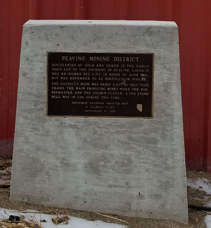
Peavine Mining District
Inscription.
Discoverites of gold and silver in the early 1860s led to the founding of Peavine. Later it was re-named Poe City in honor of John Poe, but was referred to as Poeville or Podunk.
The district’s boom was brief lasting only four years. The main producing mines were the Poe, Paymaster, and the Golden Fleece. A ten stamp mill was in use during this time.
Snowshoe Thompson Chapter 1827
E Clampus Vitus
September 10 1988
Erected 1988 by Snowshoe Thompson Chapter 1827 E Clampus Vitus.
Topics and series. This historical marker is listed in these topic lists: Industry & Commerce • Settlements & Settlers. In addition, it is included in the E Clampus Vitus series list. A significant historical date for this entry is September 10, 1988.
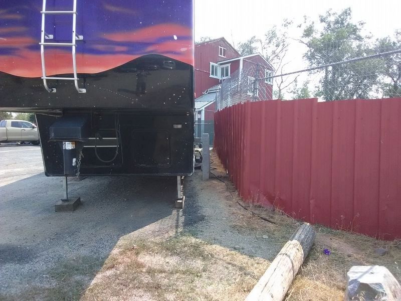
Location. Marker has been reported missing. It was located near 39° 37.435′ N, 119° 54.539′ W. Marker was in Reno, Nevada, in Washoe County. Marker was on Virginia Street, on the left when traveling west. Touch for map. Marker was at or near this postal address: 10200 B Virginia Street, Reno NV 89506, United States of America. Touch for directions.
Other nearby markers. At least 8 other markers are within 9 miles of this location, measured as the crow flies. Historic Transportation From Honey Lake To Virginia City (approx. 0.4 miles away); Grand Army of the Republic Cemetery (approx. 7.7 miles away); Morrill Hall, 1887 (approx. 7.8 miles away); Grand Army of the Republic Memorial Tree (approx. 7.9 miles away); Truckee Trail - River Crossings (approx. 8.1 miles away); The Lincoln Highway Bridge Rails (approx. 8.1 miles away); Crystal Peak Toll Bridge (approx. 8.2 miles away); Salvation Army (approx. 8.3 miles away). Touch for a list and map of all markers in Reno.
Credits. This page was last revised on July 4, 2023. It was originally submitted on April 7, 2019, by Frank Gunshow Sanchez of Hollister, California. This page has been viewed 503 times since then and 63 times this year. Last updated on April 11, 2022, by Mary K Doherty of Reno, Nevada. Photos: 1. submitted on April 7, 2019. 2. submitted on July 3, 2023, by Nevada Traveler of Reno, Nevada. • Syd Whittle was the editor who published this page.

