Columbia in Lancaster County, Pennsylvania — The American Northeast (Mid-Atlantic)
The Old Columbia Public Grounds Co.
"River Park"

Photographed By Devry Becker Jones (CC0), July 7, 2019
1. The Old Columbia Public Grounds Co. Marker
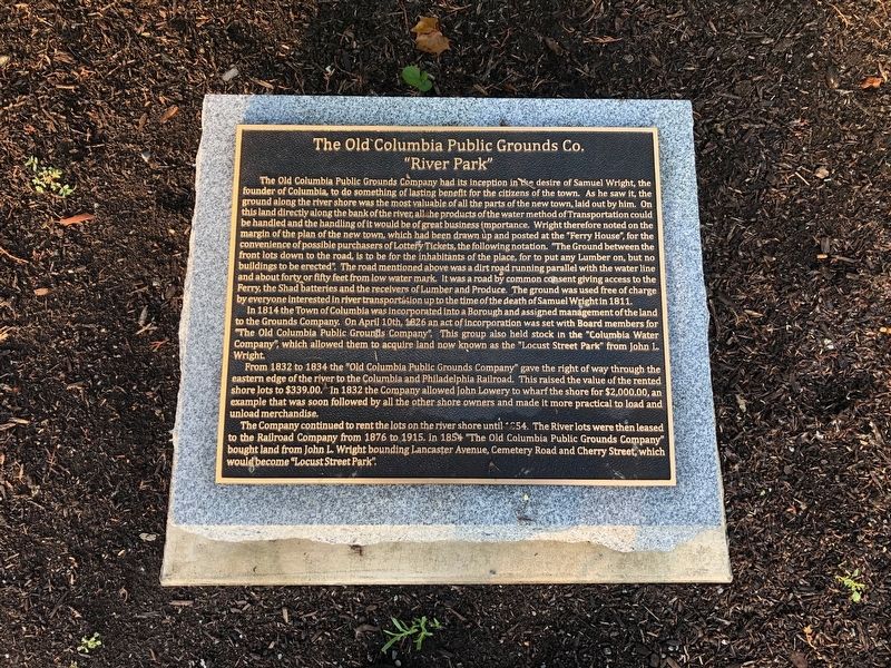
The Old Columbia Public Grounds Company had its inception in the desire of Samuel Wright, the founder of Columbia, to do something of lasting benefit for the citizens of the town. As he saw it, the ground along the river shore was the most valuable of all the parts of the new town, laid out by him. On this land directly along the bank of the river, all the products of the water method of Transportation could be handled and the handling of it would be of great business importance. Wright therefore noted on the margin of the plan of the new town, which had been drawn up and posted at the "Ferry House", for the convenience of possible purchasers of Lottery Tickets, the following notation. "The Ground between the front lots down to the road, is to be for the inhabitants of the place, for to put any Lumber on, but no buildings to be erected". The road mentioned above was a dirt road running parallel with the water line and about forty or fifty feet from low water mark. It was a road by common consent giving access to the Ferry, the Shad batteries and the receivers of Lumber and Produce. The ground was used free of charge by everybody interested in river transportation up to the time of the death of Samuel Wright in 1811.
In 1814 the Town of Columbia was incorporated into a Borough and assigned management of the land to the Grounds Company. On April 10th, 1826 an act of incorporation was set with the Board members for "The Old Columbia Public Grounds Company". This group also held stock in the "Columbia Water Company", which allowed them to acquire land now known as the "Locust Street Park" from John L. Wright.
From 1832 to 1834 the "Old Columbia Public Grounds Company" gave the right of way through the eastern edge of the river to the Columbia and Philadelphia Railroad. This raised the value of the rented shore lots to $339.00. In 1832 the Company allowed John Lowery to wharf the shore for $2,000.00, an example that was soon followed by all the other shore owners and made it more practical to load and unload merchandise.
The Company continued to rent the lots on the river shore until 1854. The River lots were then leased to the Railroad Company from 1876 to 1915. In 1854 "The Old Columbia Public Grounds Company" bought land from John L. Wright bounding Lancaster Avenue, Cemetery Road and Cherry Street, which would become "Locust Street Park".
Topics. This historical marker is listed in these topic lists: Industry & Commerce • Settlements & Settlers • Waterways & Vessels. A significant historical date for this entry is April 10, 1826.
Location. 40° 1.83′ N, 76° 30.476′ W. Marker is in Columbia, Pennsylvania, in Lancaster County. Marker

Photographed By Devry Becker Jones (CC0), July 7, 2019
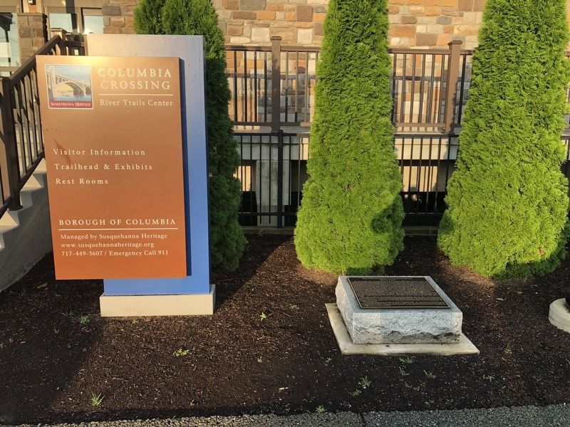
2. The Old Columbia Public Grounds Co. Marker
Other nearby markers. At least 8 other markers are within walking distance of this marker. Columbia and Its Railroads (within shouting distance of this marker); Pennsylvania Railroad Passenger Station (about 300 feet away, measured in a direct line); Columbia: a Transportation Hub (about 400 feet away); Columbia Bank & Bridge Company (approx. 0.2 miles away); Lloyd Mifflin House (approx. 0.2 miles away); John Houston Mifflin Homestead (approx. 0.2 miles away); Railroads During the Civil War (approx. 0.2 miles away); Columbia (approx. 0.2 miles away). Touch for a list and map of all markers in Columbia.
Credits. This page was last revised on November 29, 2020. It was originally submitted on July 7, 2019, by Devry Becker Jones of Washington, District of Columbia. This page has been viewed 285 times since then and 19 times this year. Last updated on November 29, 2020, by Carl Gordon Moore Jr. of North East, Maryland. Photos: 1, 2. submitted on July 7, 2019, by Devry Becker Jones of Washington, District of Columbia.