Bread Loaf in Middlebury in Addison County, Vermont — The American Northeast (New England)
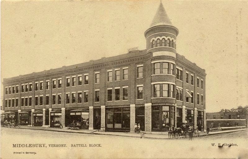
The Battell Block
Built from the Ashes
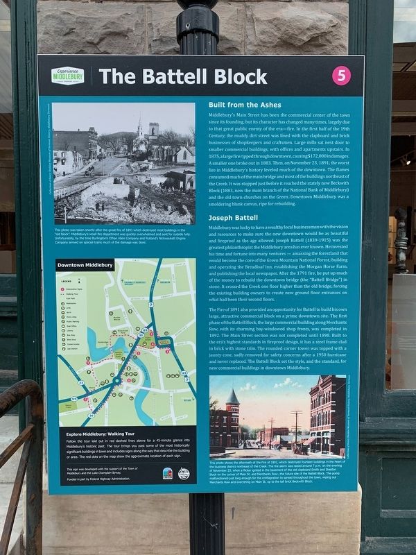
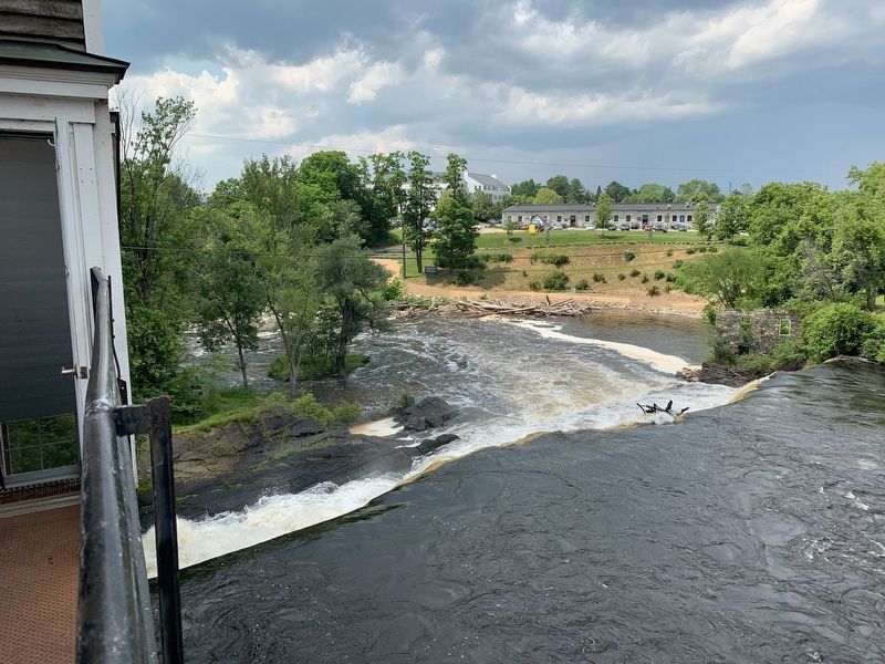
Middlebury's Main Street has been the commercial center of the town since its founding, but its character has changed many times, largely due to that great public enemy of the era-fire. In the first half of the 19th Century, the muddy dirt street was lined with the clapboard and brick businesses of shopkeepers and craftsmen. Large mills sat next door to smaller commercial buildings, with offices and apartments upstairs. In 1875, a large fire ripped through downtown, causing $172,000 in damages. A smaller one broke out in 1883. Then, on November 23, 1891, the worst fire in Middlebury's history leveled much of the downtown. The flames consumed much of the main bridge and most of the buildings northeast of the Creek. It was stopped just before it reached the stately new Beckwith Block (1883, now the main branch of the National Bank of Middlebury) and the old town churches on the Green. Downtown Middlebury was a smoldering blank canvas, ripe for rebuilding.
Joseph Battell
Middlebury was lucky to have a wealthy local businessman with the vision and resources to make sure the new downtown would be as beautiful and fireproof as the age allowed. Joseph Battell (1839-1915) was the greatest philanthropist the Middlebury area has ever known. He invested his time and fortune into many ventures - amassing the forestland that would become the core of the Green Mountain National Forest, building and operating the Breadloaf Inn, establishing the Morgan Horse Farm, and publishing the local newspaper. After the 1891 fire, he put up much of the money to rebuild the downtown bridge (the "Battell Bridge") in stone. It crossed the Creek one floor higher than the old bridge, forcing the existing building owners to create new ground floor entrances on what had been their second floors.
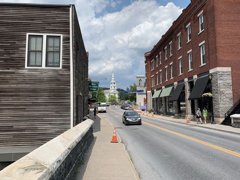
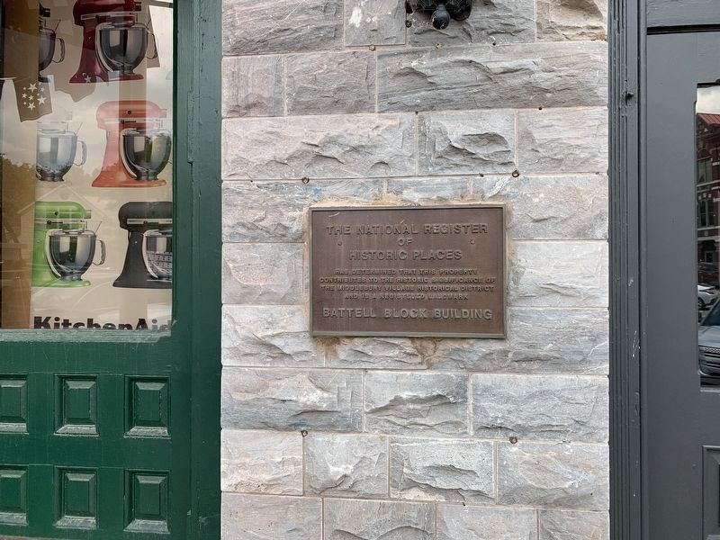
The Fire of 1891 also provided an opportunity for Battell to build his own large, attractive commercial block on a prime downtown site. The first phase of the Battell Block, the large commercial building along Merchants Row, with its charming bay-windowed shop fronts, was completed in 1892. The Main Street section was not completed until 1898. Built to the era's highest standards in fireproof design, it has a steel frame clad in brick with stone trim. The rounded corner tower was topped with a jaunty cone, sadly removed for safety concerns after a 1950 hurricane and never replaced. The Battell Block set the style, and the standard, for new commercial buildings in downtown Middlebury.
Erected by Town of Middlebury, Lake Champlain Byway, Federal Highway Administration.
Topics. This historical marker is listed in these topic lists: Disasters • Settlements & Settlers. A significant historical date for this entry is November 23, 1891.
Location. 44° 0.818′ N, 73° 10.099′ W. Marker is in Middlebury, Vermont, in Addison County. It is in Bread Loaf. Marker is at the intersection of Main Street and Merchants Row, on the left when traveling south on Main Street. Touch for map. Marker is in this post office area: Middlebury VT 05753, United States of America. Touch for directions.
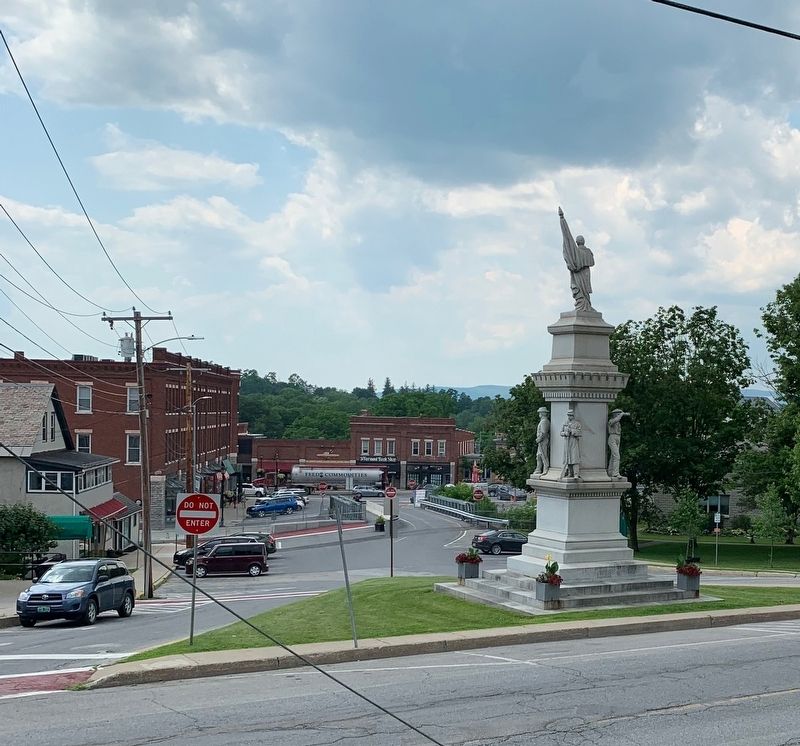
Other nearby markers. At least 8 other markers are within walking distance of this marker. Ancient Paths (about 400 feet away, measured in a direct line); Middlebury Civil War Memorial (about 400 feet away); Marble Works Memorial Bridge (about 400 feet away); John Deere (about 400 feet away); Emma Willard Memorial (about 600 feet away); Court Square (about 600 feet away); Town & Gown (about 600 feet away); Middlebury War Memorial (about 700 feet away). Touch for a list and map of all markers in Middlebury.
Additional keywords. Philanthropy
Credits. This page was last revised on February 16, 2023. It was originally submitted on July 11, 2019, by Steve Stoessel of Niskayuna, New York. This page has been viewed 315 times since then and 19 times this year. Last updated on July 13, 2019, by Steve Stoessel of Niskayuna, New York. Photos: 1, 2, 3, 4, 5. submitted on July 11, 2019, by Steve Stoessel of Niskayuna, New York. 6. submitted on July 13, 2019. • Andrew Ruppenstein was the editor who published this page.
