Fort Kent in Aroostook County, Maine — The American Northeast (New England)
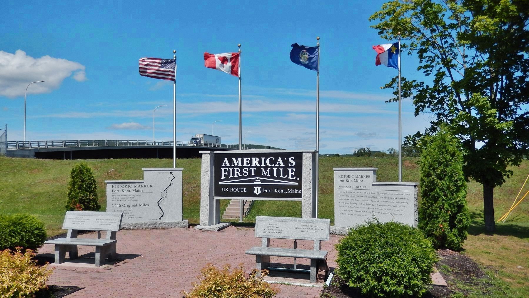
America's First Mile
U.S. Route 1 • Fort Kent, Maine
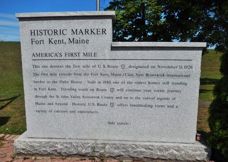
(right panel)
This site denotes the first mile of U. S. Route 1, designated on November 11, 1926. The first mile extends from the Fort Kent, Maine / Clair, New Brunswick international border to the Dube House - built in 1840, one of the oldest homes still standing in Fort Kent. Traveling south on Route 1 will continue your scenic journey through the St. John Valley, Aroostook County and on to the coastal regions of Maine and beyond. Historic U.S. Route 1 offers breathtaking views and a variety of cultures and experiences.
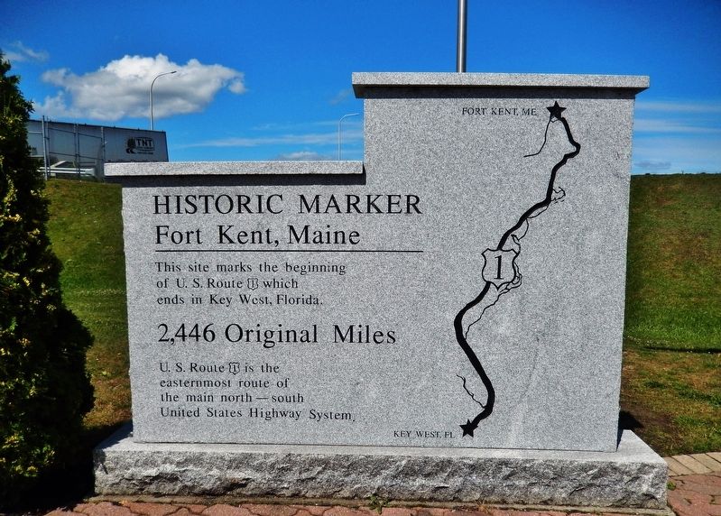
(left panel)
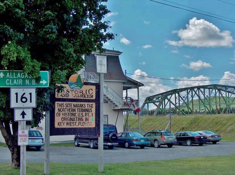
This site marks the beginning of U.S. Route 1 which ends in Key West, Florida.
U.S. Route 1 is the easternmost route of the main north-south United States Highway System.
Topics. This historical marker is listed in this topic list: Roads & Vehicles. A significant historical date for this entry is November 11, 1926.
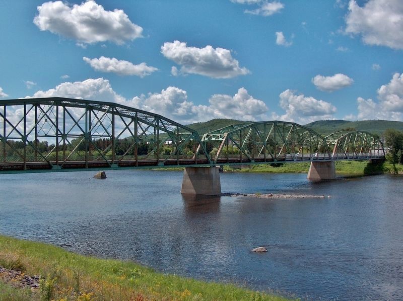
Location. 47° 14.922′ N, 68° 36.131′ W. Marker is in Fort Kent, Maine, in Aroostook County. Marker is at the intersection of West Main Street (U.S. 1) and Clair-Fort Kent International Bridge, on the right when traveling west on West Main Street. Marker is located in an interpretive plaza at the northern terminus of US Highway 1, on the south side of the Saint John River and the east side of the Clair-Fort Kent International Bridge. Touch for map. Marker is at or near this postal address: 341 West Main Street, Fort Kent ME 04743, United States of America. Touch for directions.
Other nearby markers. At least 7 other markers are within 9 miles of this marker, measured as the crow flies. One People in Two Countries / Une Vallée sans frontière (a few steps from this marker); The Aroostook War (approx. 0.4 miles away); Fort Kent (approx. 0.4 miles away); Allagash and St. John Rivers (approx. 0.6 miles away); When "going across" Was Like Crossing the Street (approx. ¾ mile away); Rail Fuels Growth, Cultural Change (approx. 0.9 miles away); La paroisse de Ste. Luce 150e anniversaire (approx. 8½ miles away).
Also see . . .
1. U.S. Route 1 (Wikipedia). U.S. Route 1 is a major north–south U.S. Highway that serves the East Coast of the United States. It runs 2,369 miles from Key West, Florida north to Fort Kent, Maine, at the Canada–US border, making it the longest north–south road in the United States. (Submitted on August 1, 2019, by Cosmos Mariner of Cape Canaveral, Florida.)
2. A brief History of US Route 1. The direct predecessor to US 1 was the Atlantic Highway, an auto trail established in 1911 as the Quebec-Miami International Highway. In 1915 it was renamed the Atlantic Highway, and the northern terminus was changed to Calais, Maine. When the New England road marking system was established in 1922, the Atlantic Highway within New England was signed as Route 1. One of the many changes made to the system before the final numbering was adopted in 1926 involved US 1 in Maine. In the system as adopted in 1926, US 2 instead took the inland route, while US 1 followed the coast then west in Maine to Fort Kent. (Submitted on August 1, 2019, by Cosmos Mariner of Cape Canaveral, Florida.)
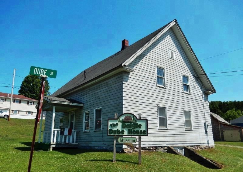
3. Jean-Baptiste Daigle House (Wikipedia). The Jean-Baptiste Daigle House is a rare surviving example of an Acadian log house, and the only one known to be near its original location. It is now covered by weatherboard siding, obscuring its log structure. The house was listed on the National Register of Historic Places in 2013, #13000833. (Submitted on August 1, 2019, by Cosmos Mariner of Cape Canaveral, Florida.)
Credits. This page was last revised on April 19, 2020. It was originally submitted on August 1, 2019, by Cosmos Mariner of Cape Canaveral, Florida. This page has been viewed 1,193 times since then and 151 times this year. Photos: 1, 2, 3, 4, 5. submitted on August 1, 2019, by Cosmos Mariner of Cape Canaveral, Florida. 6, 7. submitted on April 18, 2020, by Cosmos Mariner of Cape Canaveral, Florida.
