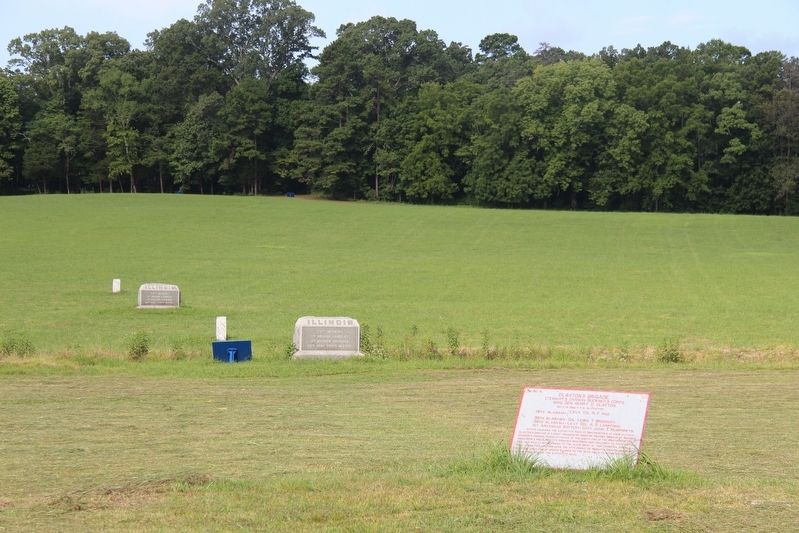
Near Fort Oglethorpe in Catoosa County, Georgia — The American South (South Atlantic)
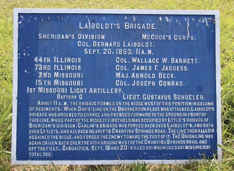
Laiboldt's Brigade
Sheridan's Division
— McCook's Corps —
Sheridan's Division - McCook's Corps.
Colonel Bernard Laiboldt.
September 20, 1863, 11 a.m.
44th Illinois - Colonel Wallace W. Barrett.
73rd Illinois - Colonel James F. Jaquess.
2nd Missouri - Major Arnold Beck.
15th Missouri - Colonel Joseph Conrad.
1st Missouri Light Artillery, Battery G - Lieutenant Gustavus Schueler.
About 11 a.m. the Brigade formed on the ridge west of this position in column of regiments. When Davis' line on the Brotherton place was attacked, Laiboldt's Brigade was ordered to charge and pressed forward to the ground in front of this line, while part of the ridge it first held was occupied by Lytle's Brigade of Sheridan's Division. Carlin's Brigade was forced back over Laiboldt's, and both over Lytle's, and all back nearly to Crawfish Springs road. The line then rallied regained the ridge, and forced the enemy toward the foot of it. The Union line was again driven back over the high ground west of the Crawfish Springs road, and off the field. Casualties, September 19 and 20: Killed 38; Wounded 243; Missing 108; Total 389.
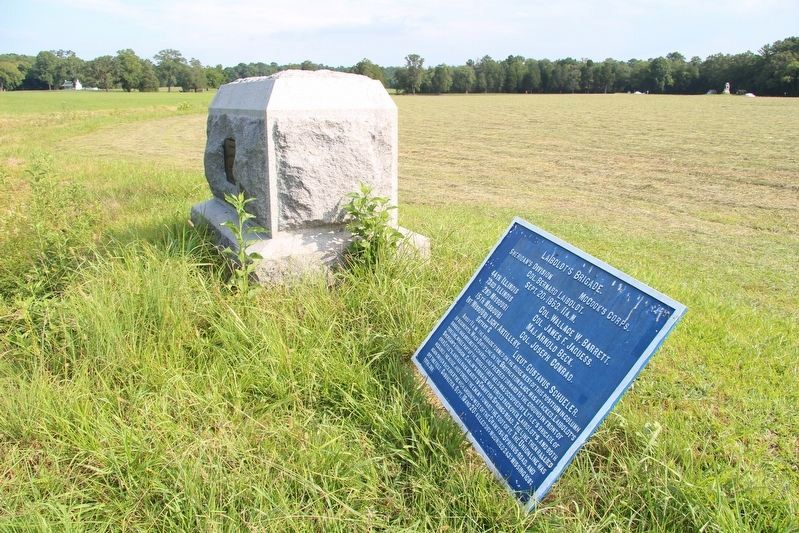
Erected 1890 by the Chickamauga and Chattanooga National Military Park Commission. (Marker Number MT-613.)
Topics. This historical marker is listed in these topic lists: Parks & Recreational Areas • War, US Civil. A significant historical date for this entry is September 20, 1863.
Location. 34° 54.837′ N, 85° 16.018′ W. Marker is near Fort Oglethorpe, Georgia, in Catoosa County. Marker can be reached from Glenn-Kelly Road east of Chickamauga-Vittatoe Road, on the left when traveling north. This marker is located in the National Military Park that preserves the site of the Chickamauga Battlefield, and is situated near a small stream that runs through the South Dyer Field (labeled the Brotherton Field on the Chickamauga Battlefield Map). Touch for map. Marker is in this post office area: Fort Oglethorpe GA 30742, United States of America. Touch for directions.
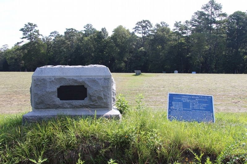
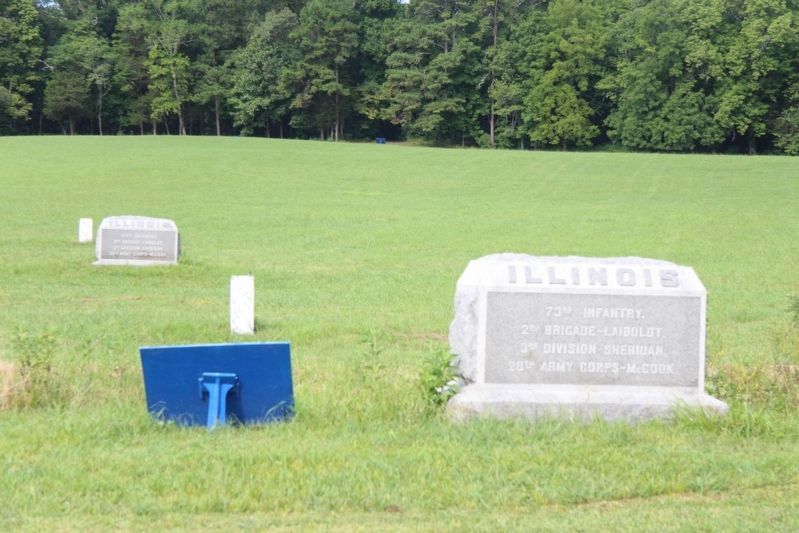
Other nearby markers. At least 8 other markers are within walking distance of this marker. 73rd Illinois Infantry (here, next to this marker); 15th Missouri Infantry (a few steps from this marker); 44th Illinois Infantry (within shouting distance of this marker); Clayton's Brigade (within shouting distance of this marker); 2nd Missouri Infantry (within shouting distance of this marker); 104th Illinois Infantry (about 300 feet away, measured in a direct line); J. Beatty's Brigade (about 300 feet away); 42nd Indiana Infantry (about 300 feet away). Touch for a list and map of all markers in Fort Oglethorpe.
More about this marker. I used the "Chickamauga Battlefield" map, that I purchased at the Chickamauga and Chattanooga National Military Park, Visitor Center, to determine both the marker number for this tablet and the tablet's location in relation to the rest of the park's monuments, markers, and tablets. According to the map it provides the, "numerical listing of all monuments, markers, and tablets on the Chickamauga Battlefield (using the Chick-Chatt NMP Monument Numbering System).”
Credits. This page was last revised on February 21, 2023. It was originally submitted on August 22, 2019, by Dale K. Benington of Toledo, Ohio. This page has been viewed 194 times since then and 6 times this year. Last updated on February 20, 2023, by Diane Klinefelter of McMurray, Pennsylvania. Photos: 1, 2, 3, 4, 5. submitted on August 22, 2019, by Dale K. Benington of Toledo, Ohio. • J. Makali Bruton was the editor who published this page.
