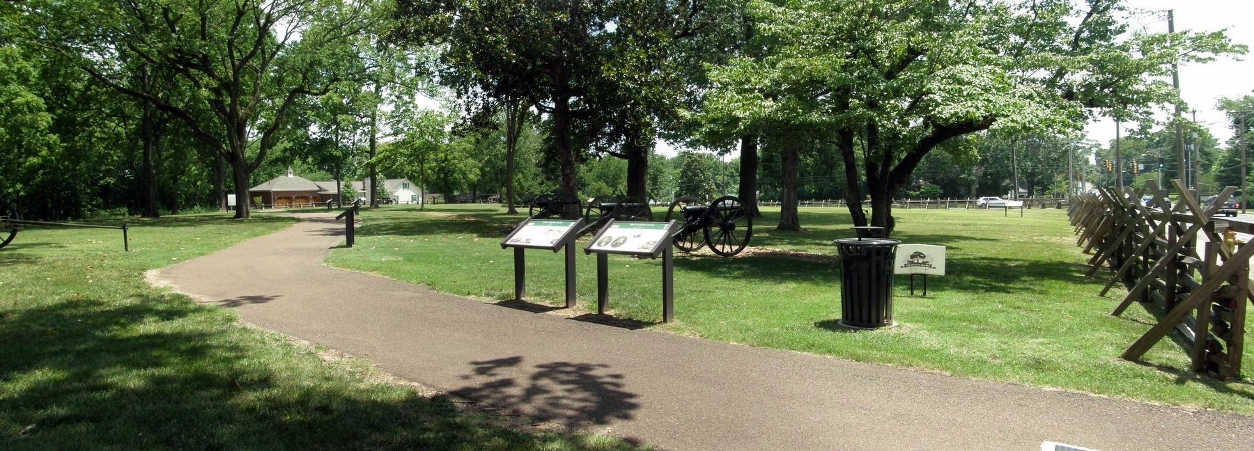
Franklin in Williamson County, Tennessee — The American South (East South Central)
The Carter Farm
Rebuilding Southern Farms
— Tennessee Civil War National Heritage Area —
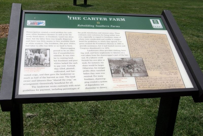
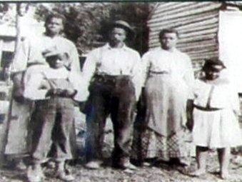
Sharecropping proved to be an effective if unsatisfactory solution. It was similar to renting land, but freedmen and poor whites lacked the cash to pay rent. Instead, they tilled, planted, cultivated, and harvested crops, then gave the landowner as much as half of the harvest as rent. The landowners and laborers thus “shared the crop,” an arrangement theoretically beneficial for all.
The landowner wrote contracts with strict guidelines for payment, including percentages of the profit distribution and interest rates. These contracts were notorious for being unfair, however, especially in regard to freedmen, many of whom were uneducated and unable to comprehend the guidelines to which they agreed. Congress created the Freedmen’s Bureau in 1865 to provide assistance, but it had limited success and Congress abandoned it in 1872.
Landowners often provided clothing, housing, seed, and farm implements to laborers at a cost taken from the sharecropper’s part of the harvest. If a laborer could furnish his own plow or mule, for instance, his share would be larger. Otherwise, his meager profits often vanished before they were ever received. For many freedmen, sharecropping created a system of dependency not unlike slavery.
Erected by Historic Franklin Parks.
Topics. This historical marker is listed in these topic lists: African Americans • Agriculture • War, US Civil. A significant historical year for this entry is 1872.
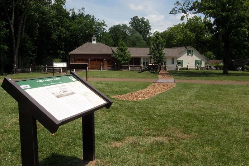
Location. 35° 54.949′ N, 86° 52.363′ W. Marker is in Franklin, Tennessee, in Williamson County. Marker can be reached from Columbia Avenue (Business U.S. 31) near Cleburne Street, on the right when traveling north. At the Cotton Gin Site and Park. Touch for map. Marker is in this post office area: Franklin TN 37064, United States of America. Touch for directions.
Other nearby markers. At least 8 other markers are within walking distance of this marker. A different marker also named The Carter Farm (here, next to this marker); a different marker also named The Carter Farm (a few steps from this marker); a different marker also named The Carter Farm (within shouting distance of this marker); a different marker also named The Carter Farm (within shouting distance of this marker); a different marker also named The Carter Farm (within shouting distance of this marker); a different marker also named The Carter Farm
(within shouting distance of this marker); a different marker also named The Carter Farm (within shouting distance of this marker); a different marker also named The Carter Farm (within shouting distance of this marker). Touch for a list and map of all markers in Franklin.
Credits. This page was last revised on July 27, 2022. It was originally submitted on September 22, 2019, by Larry Gertner of New York, New York. This page has been viewed 234 times since then and 13 times this year. Last updated on December 19, 2021, by Bradley Owen of Morgantown, West Virginia. Photos: 1, 2, 3, 4, 5. submitted on September 22, 2019, by Larry Gertner of New York, New York. • Mark Hilton was the editor who published this page.
