Greene Township near Waynesburg in Greene County, Pennsylvania — The American Northeast (Mid-Atlantic)
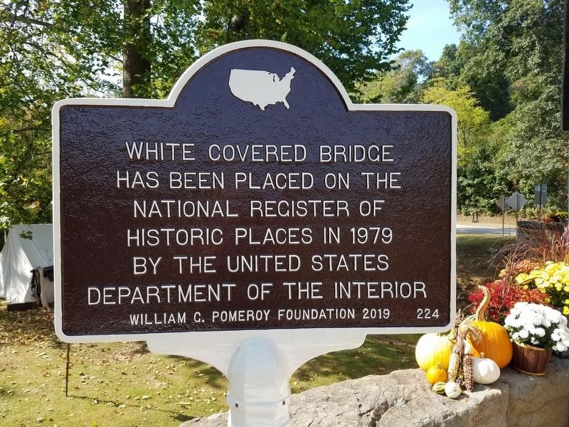
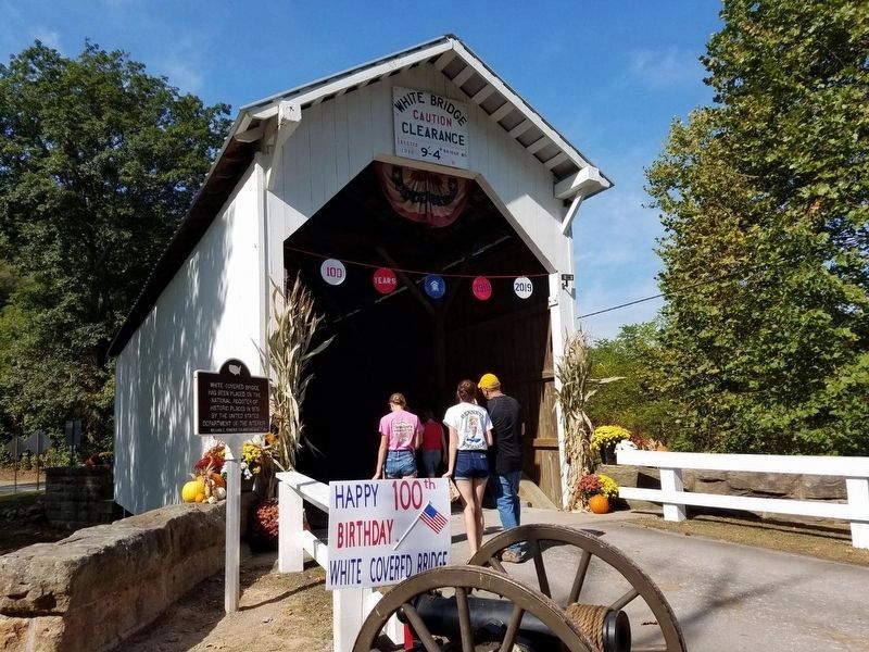
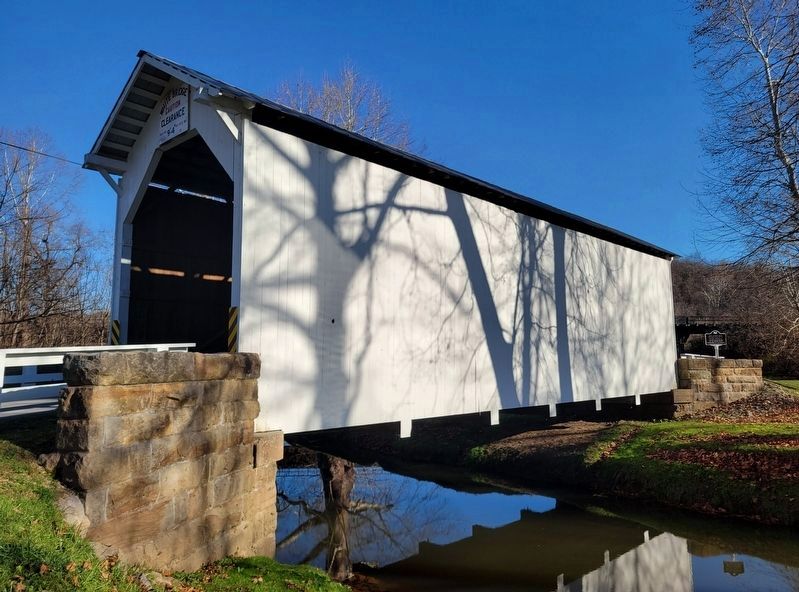
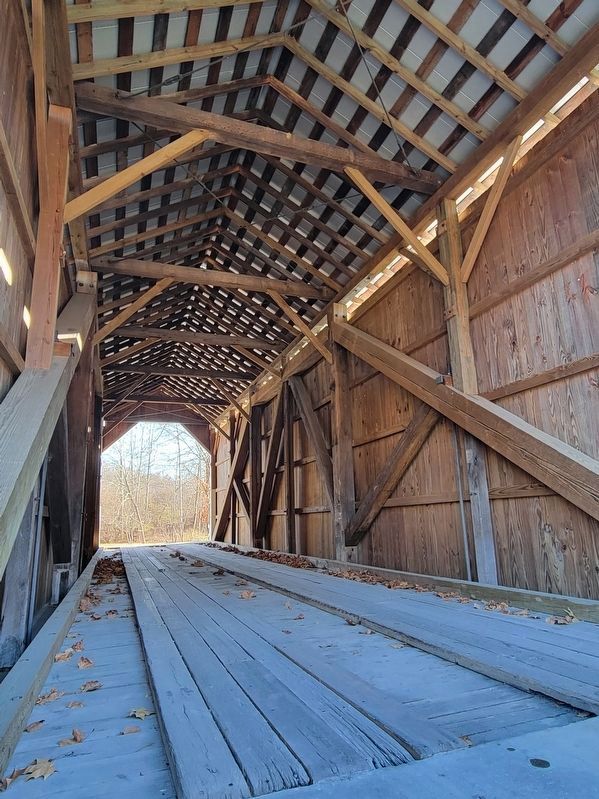
White Covered Bridge
Has been placed on the National Register of Historic Places in 1979 by the United States Department of the Interior
Erected 2019 by William G. Pomeroy Foundation. (Marker Number 224.)
Topics and series. This historical marker is listed in this topic list: Bridges & Viaducts. In addition, it is included in the Covered Bridges, the National Register of Historic Places, and the William G. Pomeroy Foundation series lists. A significant historical year for this entry is 1979.
Location. 39° 48.393′ N, 80° 3.64′ W. Marker is near Waynesburg, Pennsylvania, in Greene County. It is in Greene Township. Marker is on Roberts Run Road (County Route 604) 0.2 miles south of Garards Fort Road (Pennsylvania Route 2011), on the left when traveling south. Touch for map. Marker is in this post office area: Waynesburg PA 15370, United States of America. Touch for directions.
Other nearby markers. At least 8 other markers are within 3 miles of this marker, measured as the crow flies. Greene County Coal Miners Memorial (approx. 1.1 miles away); Garard's Fort (approx. 1.8 miles away); Rev. John Corbley (approx. 2.1 miles away); Fort Garard (approx. 2.1 miles away); Goshen Baptist Church (approx. 2.1 miles away); Corbly Massacre Monument (approx. 2.3 miles away); In Remembrance of John Corbly and Family (approx. 2.3 miles away); Greene Township Veterans Memorial (approx. 2.4 miles away).
Also see . . .
1. White Covered Bridge. Wikipedia entry (Submitted on February 27, 2024, by Larry Gertner of New York, New York.)
2. Visiting the Covered Bridges of Greene County, Pennsylvania. Uncovering PA website entry (Submitted on February 27, 2024, by Larry Gertner of New York, New York.)
Credits. This page was last revised on February 27, 2024. It was originally submitted on September 22, 2019, by Mike Wintermantel of Pittsburgh, Pennsylvania. This page has been viewed 339 times since then and 30 times this year. Last updated on November 7, 2022, by Bradley Owen of Morgantown, West Virginia. Photos: 1, 2. submitted on September 22, 2019, by Mike Wintermantel of Pittsburgh, Pennsylvania. 3, 4. submitted on November 7, 2022, by Bradley Owen of Morgantown, West Virginia. • Bill Pfingsten was the editor who published this page.


