Niagara-on-the-Lake in Niagara Region, Ontario — Central Canada (North America)
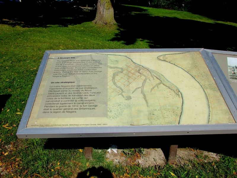
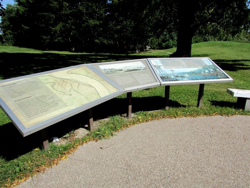
A Strategic Site
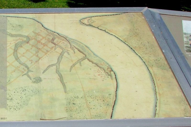
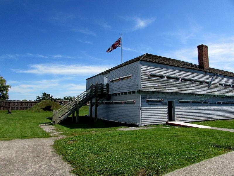
The Niagara River was extremely important from a strategic perspective. It was part of the St. Lawrence – Great Lakes system, one of the main transportation routes on either side of the border. Those who controlled the waterways would inevitably control their enemy. During the War of 1812, Fort George was the main British headquarters in the Niagara Region.
Topics. This historical marker is listed in these topic lists: Forts and Castles • War of 1812.
Location. 43° 15.124′ N, 79° 3.737′ W. Marker is in Niagara-on-the-Lake, Ontario, in Niagara Region. Marker can be reached from Queens Parade, on the right when traveling north. Marker is located near the entrance to Fort George. Touch for map. Marker is in this post office area: Niagara-on-the-Lake ON L0S 1J0, Canada. Touch for directions.
Other nearby markers. At least 8 other markers are within walking distance of this marker. Fort Niagara (here, next to this marker); The Battle of Fort George (here, next to this marker); a different marker also named A Strategic Site (here, next to this marker); The Fortified Mouth of the Niagara River (here, next to this marker); a different marker also named Fort Niagara (a few steps from this marker); Sir Isaac Brock's First Burial Site (within shouting distance of this marker); Fort George (within shouting distance of this marker); Six Pounder Field Gun (about 90 meters away, measured in a direct line). Touch for a list and map of all markers in Niagara-on-the-Lake.
Credits. This page was last revised on September 27, 2019. It was originally submitted on September 24, 2019, by Bill Coughlin of Woodland Park, New Jersey. This page has been viewed 126 times since then and 6 times this year. Photos: 1, 2, 3, 4, 5. submitted on September 24, 2019, by Bill Coughlin of Woodland Park, New Jersey.
