Port Republic in Rockingham County, Virginia — The American South (Mid-Atlantic)
Palmer Lot at Middle Ford
Ford was site of Jackson’s temporary bridge
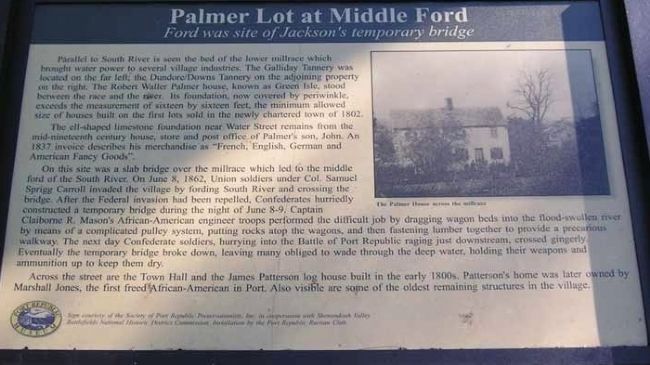
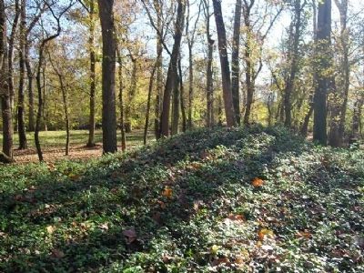
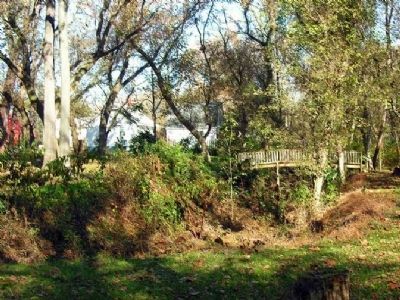
The ell-shaped limestone foundation near Water Street remains from the mid-nineteenth century house, store and post office of Palmer’s son, John. An 1837 invoice describes his merchandise as “French, English, German and American Fancy Goods.”
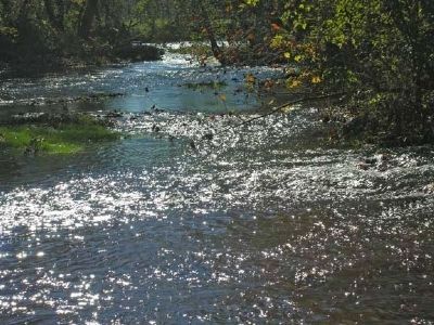
On the site was a slab bridge over the millrace which led to the middle ford of the South River. On June 8, 1862, Union soldiers under Col. Samuel Sprigg Carroll invaded the village by fording South River and cross the bridge. After the Federal invasion had been repelled, Confederates hurriedly constructed a temporary bridge during the night of June 8-9. Captain Claiborne R. Mason’s African-American engineer troops performed the difficult job by dragging wagon beds into the flood-swollen river by means of a complicated pulley system, putting rocks atop the wagons, and then fastening lumber together to provide a precarious walkway. The next day Confederate soldiers, hurrying into the Battle of Port Republic raging just downstream, crossed gingerly. Eventually the temporary bridge broke down, leaving many obliged to wade through the deep water, holding their weapons and ammunition up to keep them dry.
Across the street are the Town Hall and the James Patterson log house built in the early 1800s. Patterson’s home was later owned by Marshall Jones, the first freed African-American in Port. Also visible are some of the oldest remaining structures in the village.
Erected 1999 by Society of Port Republic Preservationists, Inc. in cooperation with Shenandoah Battlefield National Historic District Commission. Installation by the Port Republic Ruritan Club.
Topics. This historical marker is listed in these topic lists: African Americans • War, US Civil. A significant historical month for this entry is June 1968.
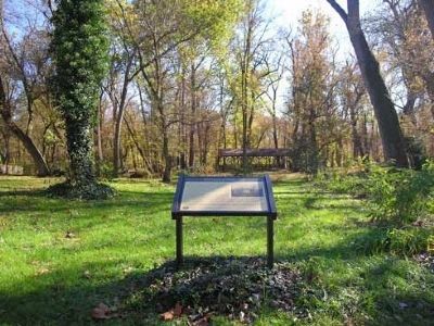
Location. 38° 17.64′ N, 78° 48.828′ W. Marker is in Port Republic, Virginia, in Rockingham County. Marker is on Water Street, 0.1 miles west of Port Republic Road (County Route 659), on the left when traveling west. At Bradburn Memorial Park which extends from Water Street to the South River. Touch for map. Marker is in this post office area: Port Republic VA 24471, United States of America. Touch for directions.
Other nearby markers. At least 8 other
markers are within 2 miles of this marker, measured as the crow flies. Riverside Graveyard (about 600 feet away, measured in a direct line); The Point (approx. ¼ mile away); Port Republic Foundry (approx. ¼ mile away); North River Bridge (approx. 0.3 miles away); Madison Hall (approx. 0.3 miles away); Battle of Port Republic (approx. 1.6 miles away); Veterans Memorial (approx. 2.1 miles away); a different marker also named Veterans Memorial (approx. 2.1 miles away). Touch for a list and map of all markers in Port Republic.
More about this marker. Picture on right side of marker shows old picture of “The Palmer House across the millrace.”
Also see . . .
1. Port Republic Preservationists and Museum. (Submitted on December 3, 2008, by Linda Walcroft of Woodstock, Virginia.)
2. Battle of Port Republic. Battle summary and location info on Civil War Preservation Trust website. (Submitted on December 3, 2008, by Linda Walcroft of Woodstock, Virginia.)
Credits. This page was last revised on November 14, 2021. It was originally submitted on December 2, 2008, by Linda Walcroft of Woodstock, Virginia. This page has been viewed 2,128 times since then and 22 times this year. Photos: 1, 2, 3. submitted on December 3, 2008, by Linda Walcroft of Woodstock, Virginia. 4, 5. submitted on December 6, 2008, by Linda Walcroft of Woodstock, Virginia. • Craig Swain was the editor who published this page.
