Capitol Heights in Prince George's County, Maryland — The American Northeast (Mid-Atlantic)
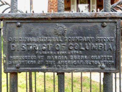
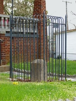
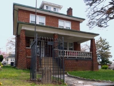
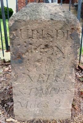
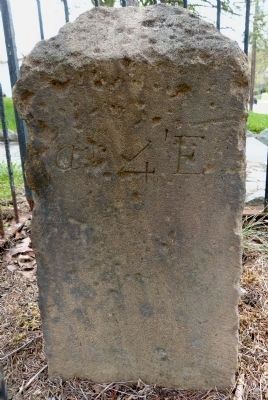
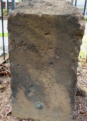
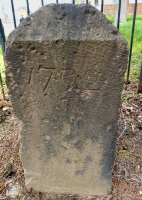
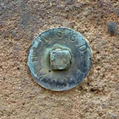
Original Federal Boundary Stone, District of Columbia, Southeast 2
District of Columbia
Placed 1791-1792
Protected by Marcia Burns Chapter
Daughters of the American Revolution
1916
Erected 1916 by Marcia Burns Chapter, Daughters of the American Revolution.
Topics and series. This historical marker is listed in this topic list: Political Subdivisions. In addition, it is included in the Daughters of the American Revolution, and the Original Federal Boundary Stones series lists. A significant historical year for this entry is 1791.
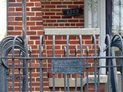
Location. 38° 52.345′ N, 76° 56.126′ W. Marker is in Capitol Heights, Maryland, in Prince George's County. Marker is on Southern Avenue south of Rail Street, on the right when traveling north. Touch for map. Marker is at or near this postal address: 4345 Clark Street, Capitol Heights MD 20743, United States of America. Touch for directions.
Other nearby markers. At least 8 other markers are within walking distance of this marker. Fort DuPont (approx. ¼ mile away in District of Columbia); a different marker also named Fort DuPont (approx. 0.3 miles away in District of Columbia); First Rock Baptist Church (approx. 0.6 miles away in District of Columbia); First Rock Baptist Church Rain Garden (approx. 0.6 miles away in District of Columbia); Fort Davis (approx. 0.9 miles away in District of Columbia); a different marker also named Fort Davis (approx. 0.9 miles away in District of Columbia); Woodlawn Cemetery (approx. 0.9 miles away in District of Columbia); St. John Baptist Church of Marshall Heights, SE, Inc. (approx. 0.9 miles away in District of Columbia).
Also see . . . Boundary Stones of the District of Columbia. (Submitted on April 21, 2014, by Allen C. Browne of Silver Spring, Maryland.)
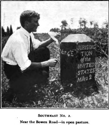
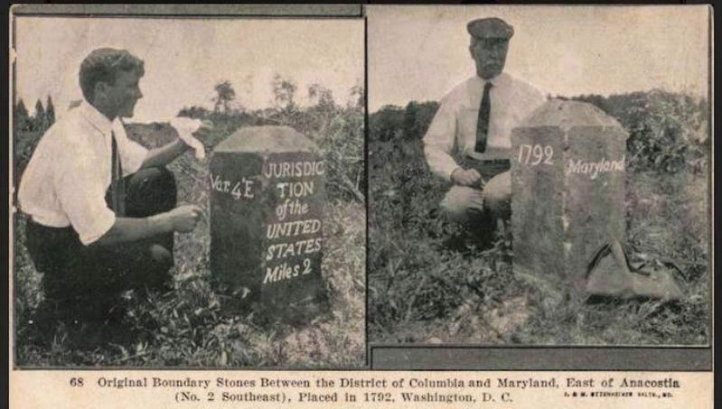
Photographed By Fred E. Woodward
11. Southeast No. 2
Near Bowen Road
in open pasture.
Near Bowen Road
in open pasture.
Fred Woodward's assistant marked the stone for photography when they visited in 1905. (See A Ramble Along the Boundary Stones of the District of Columbia with a Camera, Columbia Historical Society Records, Vol. 10. 1907.)
Credits. This page was last revised on May 3, 2021. It was originally submitted on April 20, 2014, by Allen C. Browne of Silver Spring, Maryland. This page has been viewed 628 times since then and 14 times this year. Last updated on August 15, 2020, by Roberto Bernate of Arlington, Virginia. Photos: 1. submitted on April 20, 2014, by Allen C. Browne of Silver Spring, Maryland. 2. submitted on April 28, 2021, by Roberto Bernate of Arlington, Virginia. 3, 4, 5, 6, 7, 8, 9, 10, 11. submitted on April 20, 2014, by Allen C. Browne of Silver Spring, Maryland. • Devry Becker Jones was the editor who published this page.
