Coalinga in Fresno County, California — The American West (Pacific Coastal)
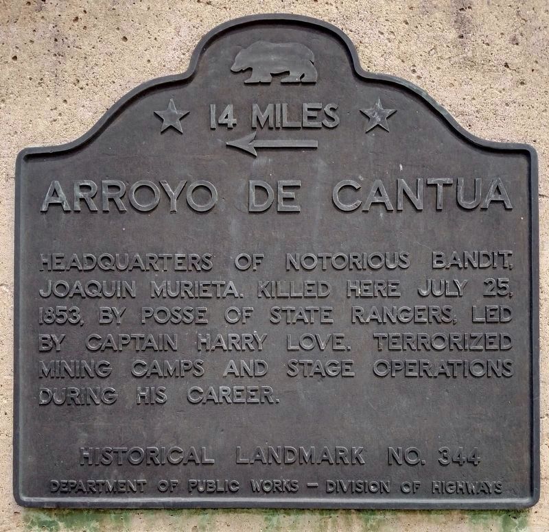
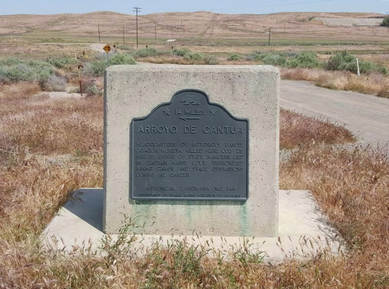
Arroyo de Cantua
14 Miles
Erected by Department of Public Works - Division of Highways. (Marker Number 344.)
Topics and series. This historical marker is listed in these topic lists: Hispanic Americans • Industry & Commerce • Law Enforcement • Roads & Vehicles. In addition, it is included in the California Historical Landmarks series list. A significant historical date for this entry is July 25, 1853.
Location. 36° 14.658′ N, 120° 18.893′ W. Marker is in Coalinga, California, in Fresno County. Marker is on California Route 33, 0.1 miles south of Dorris Road (California Route 198), on the left when traveling south. Touch for map. Marker is in this post office area: Coalinga CA 93210, United States of America. Touch for directions.
Other nearby markers. At least 8 other markers are within 8 miles of this marker, measured as the crow flies. A different marker also named Arroyo de Cantua (approx. 0.2 miles away); Harry S. Watanabe (approx. 6.6 miles away); “Wooden Walking Beam” (approx. 6.6 miles away); Coalinga Union High School (approx. 7.4 miles away); Motte Fountain (approx. 7˝ miles away); Bob’s 76 Service (approx. 7˝ miles away); Coalinga Carnegie Library (approx. 7.6 miles away); Grammar School (approx. 7.6 miles away). Touch for a list and map of all markers in Coalinga.
More about this marker. An identical marker is located on Dorris Road approximately 0.1 miles east of the Highway 33 (189) intersection. See the "Other nearby markers" for additional photos and information.
Credits. This page was last revised on June 20, 2020. It was originally submitted on March 25, 2013, by Barry Swackhamer of Brentwood, California. This page has been viewed 786 times since then and 50 times this year. Last updated on June 20, 2020, by Craig Baker of Sylmar, California. Photos: 1, 2. submitted on April 19, 2020, by Craig Baker of Sylmar, California. 3. submitted on March 25, 2013, by Barry Swackhamer of Brentwood, California. • J. Makali Bruton was the editor who published this page.


