Stony Point in Rockland County, New York — The American Northeast (Mid-Atlantic)
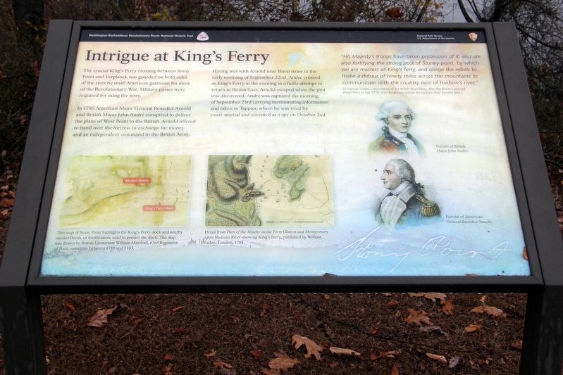
Intrigue at King’s Ferry
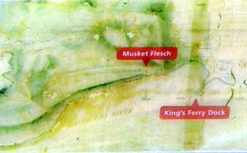
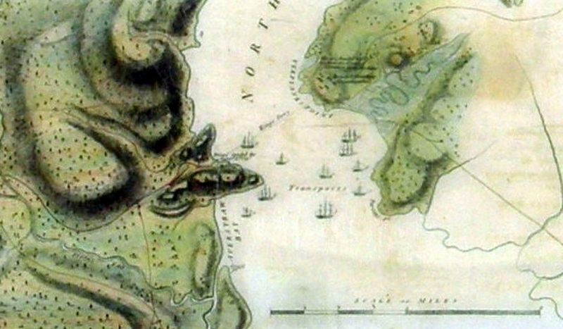
The crucial King’s Ferry crossing between Stony Point and Verplanck was guarded on both sides of the river by small American garrisons for most of the Revolutionary War. Military passes were required for using the ferry.
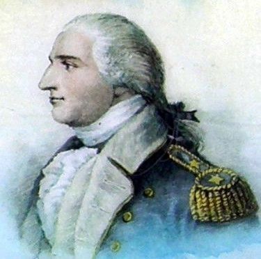
In 1780 American Major General Benedict Arnold and British Major John Andre conspired to deliver the plans of West Point to the British. Arnold offered to hand over the fortress in exchange for money and an independent command in the British Army.
Having met with Arnold near Haverstraw in the early morning of September 22nd, Andre crossed at King’s Ferry in the evening in a futile attempt to return to British lines. Arnold escaped when the plot was discovered. Andre was captured the morning of September 23rd carrying incriminating information and taken to Tappan, where he was tried by court-martial and executed as a spy on October 2nd.
”His Majesty’s troops have taken possession of it, and are also fortifying the strong post of Stoney-point, by which we are masters of King’s ferry, and oblige the rebels to make a detour of ninety miles across the mountains to communicate with the country east of Hudson’s river.” Sir George Collier, Commodore of the British Royal Navy, after the British captured King’s Ferry in July 1779. (The Americans retook the location four months later.)
Erected by National Park Service, U.S. Department of the Interior.
Topics. This historical marker is listed in these topic lists: Parks & Recreational Areas • War, US Revolutionary. A significant historical month for this entry is July 1779.
Location. 41° 14.571′ N, 73° 58.532′ W. Marker is in Stony Point, New York, in Rockland County. Marker can be reached from Battlefield Road. Touch for map. Marker is at or near this postal address: Stony Point Battlefield State Historic Site, Stony Point NY 10980, United States of America. Touch for directions.
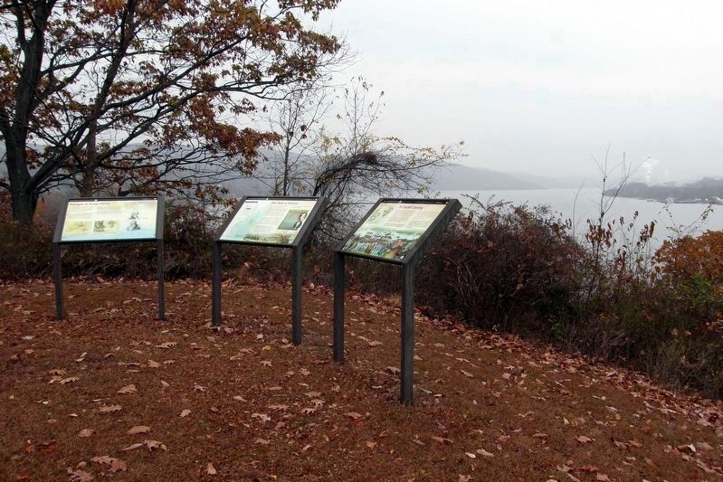
Other nearby markers. At least 8 other markers are within walking distance of this marker. The Path to Victory (here, next to this marker); A Crucial Crossing (here, next to this marker); Fraser’s Highlanders (within shouting distance of this marker); British Defenses: The Outer Works (about 500 feet away, measured in a direct line); The British Occupy Stony Point (about 500 feet away); 17th British Regiment of Foot (about 500 feet away); The American Strategy (about 500 feet away); Stony Point Battlefield (about 500 feet away). Touch for a list and map of all markers in Stony Point.
Regarding Intrigue at King’s Ferry. One of three wayside markers belonging to the Washington-Rochambeau Revolutionary Route National Historic Trail series. They
replace an earlier site-specific battlefield marker.
Also see . . . Stony Point Battlefield State Historic Site. New York State Parks, Recreation and Historic Preservation website entry (Submitted on August 24, 2021, by Larry Gertner of New York, New York.)
Credits. This page was last revised on August 24, 2021. It was originally submitted on December 18, 2019, by Larry Gertner of New York, New York. This page has been viewed 345 times since then and 40 times this year. Last updated on January 28, 2021, by Carl Gordon Moore Jr. of North East, Maryland. Photos: 1, 2, 3, 4, 5, 6. submitted on December 18, 2019, by Larry Gertner of New York, New York. 7. submitted on December 23, 2019, by Larry Gertner of New York, New York.
