Stony Point in Rockland County, New York — The American Northeast (Mid-Atlantic)
A Crucial Crossing
Inscription.
Washington-Rochambeau Revolutionary Route National Historic Trail
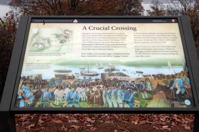
During the American Revolution, King’s Ferry was the most secure Hudson River crossing north of British-held New York City. It was the key connecting New England with the rest of the thirteen states. From August 2-25, 1781, 1,200 American troops under Washington and approximately 4,500 French troops under Rochambeau crossed from Verplanck and landed on the shore below you on their way to Yorktown, Virginia.
Heavy artillery and provisions wagons (including travelling forges, ammunition chests, and officers’ baggage) crossed on the ferry boats and barges the army used during the war years. Oxen and horses pulled these wagon trains south from the ferry landing along roadways and made their way to the Ramapo Pass. Soldiers walked great distances and often carried heavy loads.
When French forces made their return trip to New England following the allied victory at Yorktown, they again crossed at King’s Ferry in mid-September of 1782. The ferry continued to operate through the early 20th century.
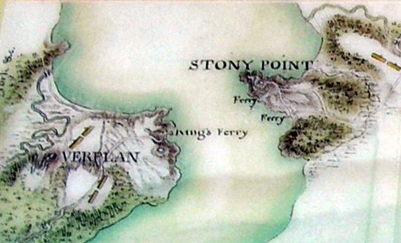
[upper left caption; map view to top is to south]
This 1781 French-illustrated map shows the strategic 1/2-mile crossing from Verplanck to Stony Point at King’s Ferry.
Erected by National Park Service, U.S. Department of the Interior.
Topics and series. This historical marker is listed in these topic lists: Parks & Recreational Areas • War, US Revolutionary. In addition, it is included in the Former U.S. Presidents: #01 George Washington, and the The Washington-Rochambeau Route series lists. A significant historical date for this entry is August 2, 1781.
Location. 41° 14.57′ N, 73° 58.529′ W. Marker is in Stony Point, New York, in Rockland County. Marker can be reached from Battlefield Road. Touch for map. Marker is at or near this postal address: Stony Point Battlefield State Historic Site, Stony Point NY 10980, United States of America. Touch for directions.
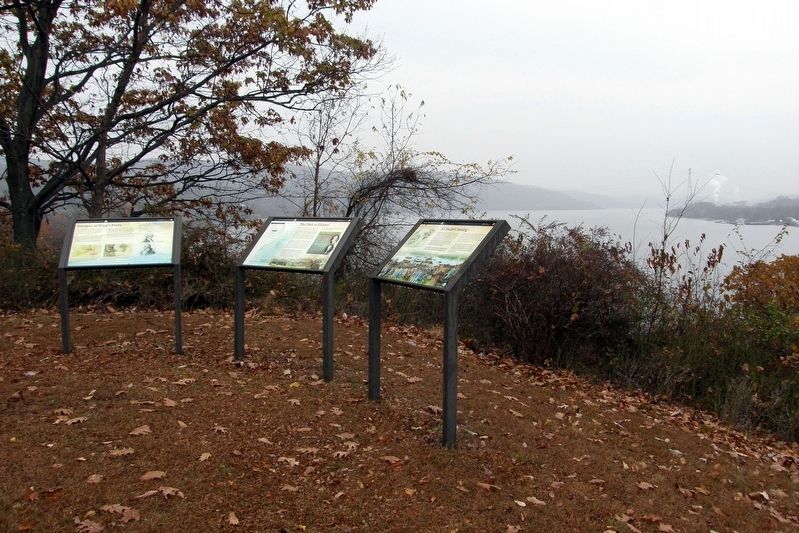
Other nearby markers. At least 8 other markers are within walking distance of this marker. The Path to Victory (here, next to this marker); Intrigue at King’s Ferry (here, next to this marker); Fraser’s Highlanders (within shouting distance of this marker); British Defenses: The Outer Works (about 500 feet away, measured in a direct line); The British Occupy Stony Point (about 500 feet away); 17th British Regiment of Foot (about 500 feet away); The American Strategy (about 500 feet away); Stony Point Battlefield (about 500 feet away). Touch for a list and map of all markers in Stony Point.
Regarding A Crucial Crossing. One of three wayside markers belonging to the Washington-Rochambeau Revolutionary Route National Historic Trail
series. They replace an earlier site-specific battlefield marker.
Also see . . . Stony Point Battlefield State Historic Site. New York State Parks, Recreation and Historic Preservation (Submitted on August 24, 2021, by Larry Gertner of New York, New York.)
Credits. This page was last revised on August 24, 2021. It was originally submitted on December 20, 2019, by Larry Gertner of New York, New York. This page has been viewed 247 times since then and 18 times this year. Last updated on January 27, 2021, by Carl Gordon Moore Jr. of North East, Maryland. Photos: 1, 2, 3, 4. submitted on December 20, 2019, by Larry Gertner of New York, New York.


