Stony Point in Rockland County, New York — The American Northeast (Mid-Atlantic)
The Path to Victory
Inscription.
Washington-Rochambeau Revolutionary Route National Historic Trail
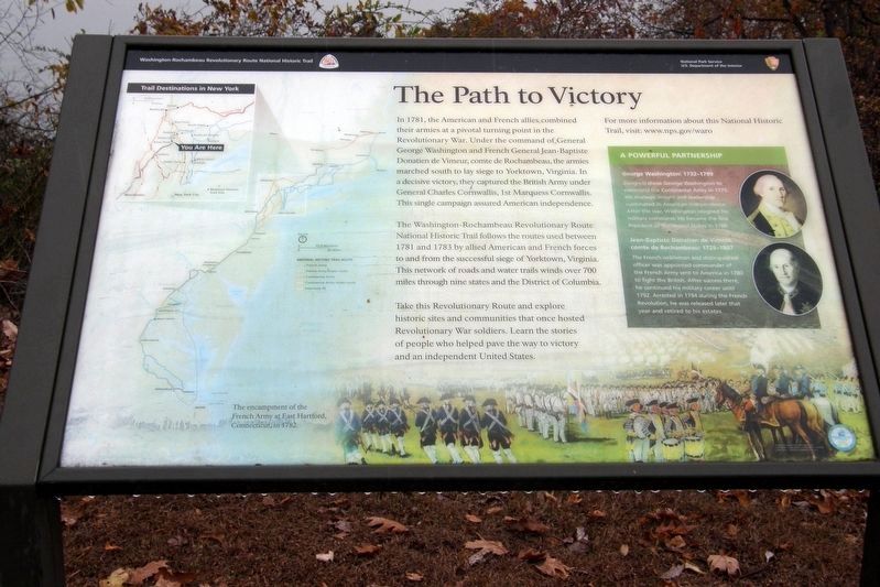
In 1781, the American and French allies combined their armies at a pivotal turning point in the Revolutionary War. Under the command of General George Washington and French General Jean-Baptiste Donatien de Vimeur, comte de Rochambeau, the armies marched south to lay siege to Yorktown, Virginia. In a decisive victory, they captured the British Army under Charles Cornwallis, 1st Marquess Cornwallis. This single campaign assured American independence.
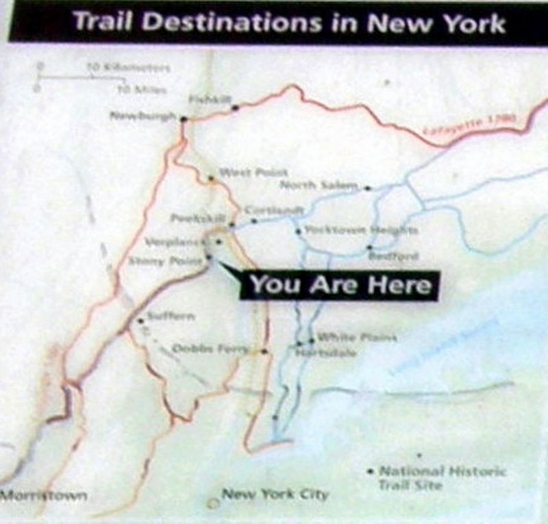
The Washington-Rochambeau Revolutionary Route National Historic Trail follows the routes used between 1781 and 1783 by allied American and French forces to and from the successful siege of Yorktown, Virginia. This network or roads and water trails winds over 700 miles through nine states and the District of Columbia.
Take this Revolutionary Route and explore historic sites and communities that once hosted Revolutionary War soldiers. Learn the stories of people who helped pave the way to victory and an independent United States.
For more information about this National Historic Trail, visit: www.nps.gov/waro
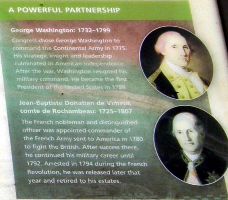
A Powerful Partnership
George Washington: 1732-1799
Congress chose George Washington to command the Continental Army in 1775. His strategic insight and leadership culminated in American independence. After the war, Washington resigned his military command. He became the first President of the United States in 1789.
Jean-Baptiste Donatien de Vimeur, comte de Rochambeau: 1725-1807
The French nobleman and distinguished officer was appointed commander of the French army sent to America in 1780 to fight the British. After success there, he continued his military career until 1792. Arrested in 1794 during the French Revolution, he was released later that year and returned to his estates.
Erected by National Park Service, U.S. Department of the Interior.
Topics and series. This historical marker is listed in these topic lists: Parks & Recreational Areas • War, US Revolutionary. In addition, it is included in the Former U.S. Presidents: #01 George Washington, and the The Washington-Rochambeau Route series lists. A significant historical year for this entry is 1781.
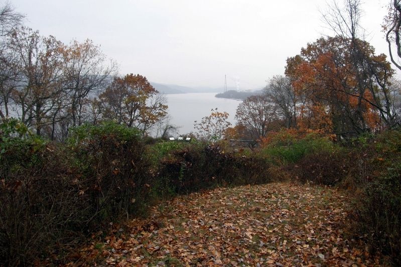
Location. 41° 14.571′ N, 73° 58.53′ W. Marker is in Stony Point, New York, in Rockland County. Marker is on Battlefield Road. Touch for map. Marker is at or near this postal address: Stony Point Battlefield State Historic Site, Stony Point NY 10980, United States of America. Touch for directions.
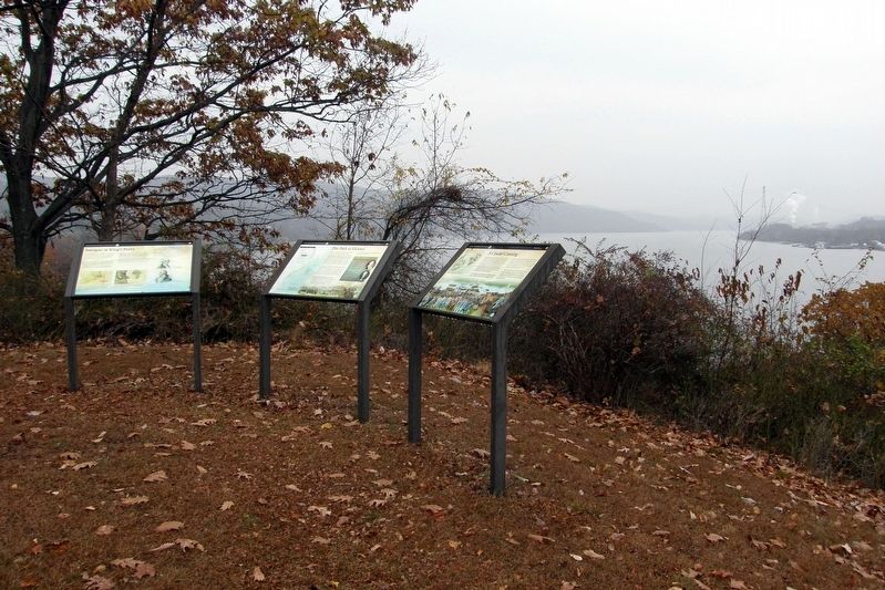
Other nearby markers. At least 8 other markers are within walking distance of this marker. Intrigue at King’s Ferry (here, next to this marker); A Crucial Crossing (here, next to
this marker); Fraser’s Highlanders (within shouting distance of this marker); British Defenses: The Outer Works (about 500 feet away, measured in a direct line); The British Occupy Stony Point (about 500 feet away); 17th British Regiment of Foot (about 500 feet away); The American Strategy (about 500 feet away); Stony Point Battlefield (about 500 feet away). Touch for a list and map of all markers in Stony Point.
Regarding The Path to Victory. One of three wayside markers belonging to the Washington-Rochambeau Revolutionary Route National Historic Trail series. They replace an earlier site-specific battlefield marker.
Also see . . . Stony Point Battlefield State Historic Site. New York State Parks, Recreation and Historic Preservation (Submitted on August 24, 2021, by Larry Gertner of New York, New York.)
Credits. This page was last revised on August 24, 2021. It was originally submitted on December 22, 2019, by Larry Gertner of New York, New York. This page has been viewed 270 times since then and 31 times this year. Last updated on January 27, 2021, by Carl Gordon Moore Jr. of North East, Maryland. Photos: 1, 2, 3, 4, 5. submitted on December 22, 2019, by Larry Gertner of New York, New York.
