Middletown in Frederick County, Maryland — The American Northeast (Mid-Atlantic)
Middletown
Union Army Traffic
— Gettysburg Campaign —
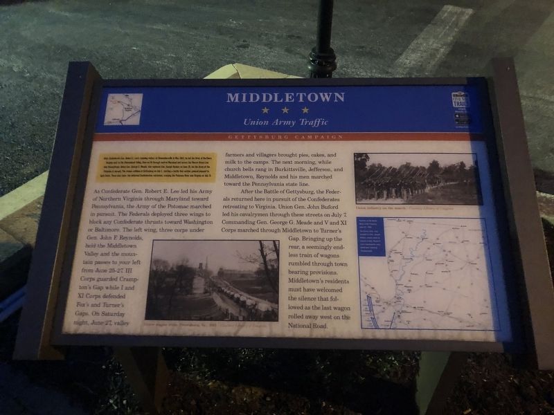
After Confederate Gen. Robert E. Lee's stunning victory at Chancellorsville in May 1863, he led the Army of Northern Virginia west to the Shenandoah Valley, then north through central Maryland and across the Mason-Dixon Line into Pennsylvania. Union Gen. George G. Meade, who replaced Gen. Joseph Hooker on June 28, led the Army of the Potomac in pursuit. The armies collided at Gettysburg on July 1, starting a battle that neither general planned to fight there. Three days later, the defeated Confederates retreated, crossing the Potomac River into Virginia on July 14.
As Confederate Gen. Robert E. Lee led his Army of Northern Virginia through Maryland toward Pennsylvania, the Army of the Potomac marched in pursuit. The Federals deployed three wings to block any Confederate thrusts toward Washington or Baltimore. The left wing, three corps under Gen. John F. Reynolds, held the Middletown Valley and the mountain passes to your left from June 25-27. III Corps guarded Crampton's Gap while I and XI Corps defended Fox's and Turner's Gaps. On Saturday night, June 27, valley farmers and villagers brought pies, cakes, and milk to the camps. The next morning, while church bells rang in Burkittsville, Jefferson, and Middletown, Reynolds and his men marched toward the Pennsylvania state line.
After the Battle of Gettysburg, the Federals returned here in pursuit of the Confederates retreating to Virginia. Union Gen. John Buford led his cavalrymen through these streets on July 7. Commanding Gen. George G. Meade and V and XI Corps marched through Middletown to Turner's Gap. Bringing up the rear, a seemingly endless train of wagons rumbled through town bearing provisions. Middletown's residents must have welcomed the silence that followed as the last wagon rolled way west on the National Road.
Erected by Maryland Civil War Trails.
Topics and series. This historical marker is listed in these topic lists: Roads & Vehicles • War, US Civil. In addition, it is included in the Maryland Civil War Trails, and the The Historic National Road series lists. A significant historical month for this entry is May 1863.
Location. 39° 26.633′ N, 77° 32.859′ W. Marker is in Middletown, Maryland, in Frederick County. Marker is on West Main Street (Alternate U.S. 40) just east of Elm Street, on the right when traveling east. Touch for map. Marker is at or near this postal address: 123 West Main Street, Middletown MD 21769, United States of America. Touch for directions.
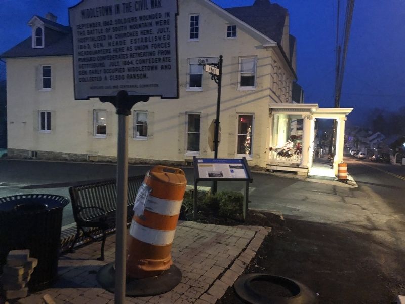
Other nearby markers. At least 8 other markers are within walking distance of this marker. Middletown in the Civil War (here, next to this marker); Lamar House (a few steps from this marker); a different marker also named Middletown (within
Credits. This page was last revised on August 3, 2022. It was originally submitted on December 29, 2019, by Devry Becker Jones of Washington, District of Columbia. This page has been viewed 289 times since then and 15 times this year. Last updated on August 2, 2022, by Carl Gordon Moore Jr. of North East, Maryland. Photos: 1, 2. submitted on December 29, 2019, by Devry Becker Jones of Washington, District of Columbia. • Bill Pfingsten was the editor who published this page.

