Shepherdstown in Jefferson County, West Virginia — The American South (Appalachia)
Jefferson County / Maryland
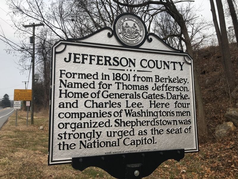
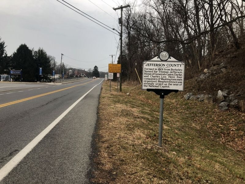
Jefferson County. Formed in 1801 from Berkeley. Named for Thomas Jefferson. Home of Generals Gates, Darke, and Charles Lee. Here four companies of Washington's men organized. Shepherdstown was strongly urged as the seat of the National Capitol.
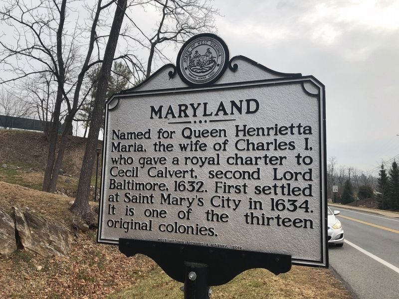
Maryland. Named for Queen Henrietta Maria, the wife of Charles I, who gave a royal charter to Cecil Calvert, second Lord Baltimore, 1632. First settled at Saint Mary's City in 1634. It is one of the thirteen original colonies.
Erected 2012 by West Virginia Archives & History.
Topics and series. This historical marker is listed in these topic lists: Colonial Era • Settlements & Settlers • War, US Revolutionary • Women. In addition, it is included in the West Virginia Archives and History series list. A significant historical year for this entry is 1801.
Location. 39° 26.118′ N, 77° 48.308′ W. Marker is in Shepherdstown, West Virginia, in Jefferson County. Marker is on North King Street (West Virginia Route 480) 0.1 miles east of Shepherd Grade Road, on the right when traveling east. Touch for map. Marker is in this post office area: Shepherdstown WV 25443, United States of America. Touch for directions.
Other nearby markers. At least 8 other markers are within walking distance of this marker. Shepherdstown (about 400 feet away, measured in a direct line); Shepherd College / Shepherdstown (about 500 feet away); a different marker also named Shepherdstown (about 600 feet away); The James Rumsey Bridge (about 600 feet away); River Crossing (about 600 feet away); Waterfront Commerce and the Mecklenburg Warehouse (approx. 0.2 miles away); Daniel Bedinger (approx. ¼ mile away); Anthony Kerney (approx. ¼ mile away). Touch for a list and map of all markers in Shepherdstown.
Credits. This page was last revised on May 20, 2021. It was originally submitted on December 29, 2019, by Devry Becker Jones of Washington, District of Columbia. This page has been viewed 161 times since then and 21 times this year. Last updated on February 24, 2021, by Carl Gordon Moore Jr. of North East, Maryland. Photos: 1, 2, 3. submitted on December 29, 2019, by Devry Becker Jones of Washington, District of Columbia. • J. Makali Bruton was the editor who published this page.


