Cardington in Morrow County, Ohio — The American Midwest (Great Lakes)
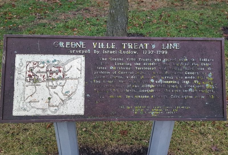
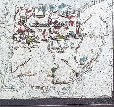
Greene Ville Treaty Line
Surveyed by Israel Ludlow, 1797–1799
Erected 1964 by the Ohio Society of Professional Engineers, Citizens of Cardington, and The Ohio Historical Society.
Topics and series. This historical marker is listed in these topic lists: Native Americans • Settlements & Settlers. In addition, it is included in the Ohio Historical Society / The Ohio History Connection series list. A significant historical year for this entry is 1795.
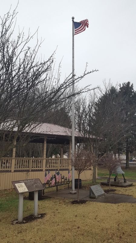
Location. Marker has been reported missing. It was located near 40° 30.02′ N, 82° 53.737′ W. Marker was in Cardington, Ohio, in Morrow County. Marker was at the intersection of West Main Street (U.S. 42) and Park Street, on the right when traveling east on West Main Street. It is in Heritage Park. Touch for map. Marker was at or near this postal address: 101 Park Street, Cardington OH 43315, United States of America. Touch for directions.
Other nearby markers. At least 8 other markers are within 5 miles of this location, measured as the crow flies. Cardington Veterans Memorial (here, next to this marker); History of Maxwell Park (approx. 0.4 miles away); Edison (approx. 4.1 miles away); a different marker also named Edison (approx. 4.3 miles away); World War I Memorial (approx. 4.9 miles away); Dawn Powell (approx. 4.9 miles away); Morrow County War Memorial (approx. 4.9 miles away); War Savings Quota (approx. 4.9 miles away). Touch for a list and map of all markers in Cardington.
More about this marker. This orphaned Ohio Historical Society historical marker is in need of cleaning and repainting. It is not listed in the society's list at RemarkableOhio.org
Related markers. Click here for a list of markers that are related to this marker.
Also see . . . Wikipedia entry for the Treaty of Greenville. Excerpt:
The Treaty of Greenville, formally titled Treaty with the Wyandots, etc., was a 1795 treaty between the United States and Indians of the Northwest Territory including the Wyandot and Delaware, which redefined the boundary between Indian lands and Whiteman's lands in the Northwest Territory.(Submitted on January 12, 2020.)
It was signed at Fort Greenville, now Greenville, Ohio, on August 3, 1795, following the Native American loss at the Battle of Fallen Timbers a year earlier. It ended the Northwest Indian War in the Ohio Country, limited Indian Country to northwestern Ohio, and began the practice of annual payments following land concessions. The parties to the treaty were a coalition of Native American tribes known as the Western Confederacy, and the United States government represented by General Anthony Wayne and local frontiersmen.
Credits. This page was last revised on December 29, 2023. It was originally submitted on January 12, 2020, by J. J. Prats of Powell, Ohio. This page has been viewed 462 times since then and 67 times this year. Last updated on January 17, 2021, by Grant & Mary Ann Fish of Galloway, Ohio. Photos: 1, 2, 3. submitted on January 12, 2020, by J. J. Prats of Powell, Ohio. • Devry Becker Jones was the editor who published this page.


