Newhall near Santa Clarita in Los Angeles County, California — The American West (Pacific Coastal)
Lyons Station
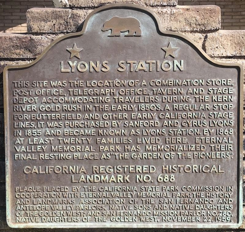
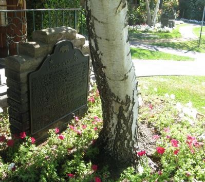
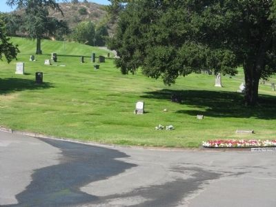
This site was the location of a combination store, post office, telegraph office, tavern, and stage depot accommodating travelers during the Kern River gold rush in the early 1850s. A regular stop for Butterfield and other early California stage lines, it was purchased by Sanford and Cyrus Lyons in 1855, and by 1868 at least twenty families lived here. Eternal Valley Memorial Park has called their final resting place "The Garden of the Pioneers."
California Registered Historical Landmark No. 688
Plaque placed by the California State Park Commission in cooperation with Eternal Valley Memorial Park; The History and Landmarks Association of the San Fernando and Antelope Valley Parlors, Native Sons and Native Daughters of the Golden West, and San Fernando Mission Parlor No. 280, Native Daughters of the Golden West, November 22, 1959
Erected 1959 by Calif. State Parks Comm., Eternal Valley Memorial Park, and Native Sons & Daughters of the Golden West. (Marker Number 688.)
Topics and series. This historical marker is listed in these topic lists: Landmarks • Notable Places • Roads & Vehicles • Settlements & Settlers. In addition, it is included in the Butterfield Overland Mail, the California Historical Landmarks, and the Native Sons/Daughters of the Golden West series lists. A significant historical month for this entry is November 1860.
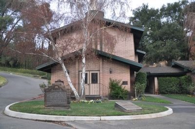
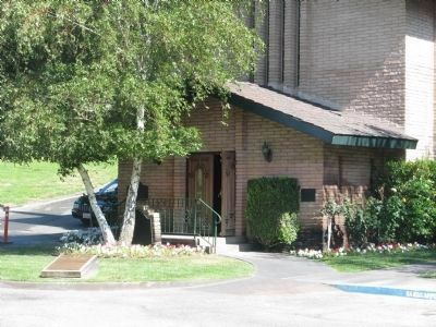
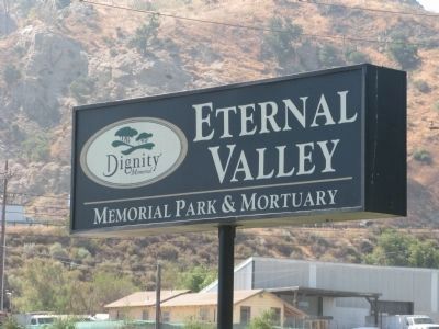
Location. 34° 21.73′ N, 118° 30.441′ W. Marker is near Santa Clarita, California, in Los Angeles County. It is in Newhall. Marker can be reached from Sierra Highway, 0.2 miles south of Newhall Avenue, on the right when traveling south. Marker is located in front of the chapel in Eternal Valley Memorial Park. Touch for map. Marker is at or near this postal address: 23287 Sierra Highway, Newhall CA 91321, United States of America. Touch for directions.
Other nearby markers. At least 8 other markers are within 2 miles of this marker, measured as the crow flies. Last Horse Drawn Hearse of Los Angeles County (within shouting distance of this marker); Eternal Valley (within shouting distance of this marker); Mark Twain (about 700 feet away, measured in a direct line); Live Oak Manor Rock Arch (approx. half a mile away); Pioneer Oil Refinery (approx. 0.9 miles away); Edison House (approx. 1.2 miles away); End of an Era (approx. 1.3 miles away); Newhall Ranch House (approx. 1.3 miles away). Touch for a list and map of all markers in Santa Clarita.
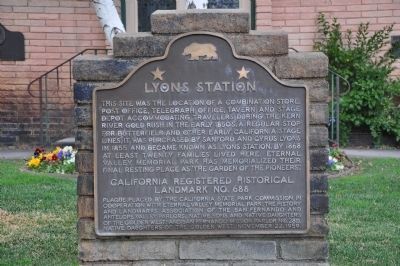
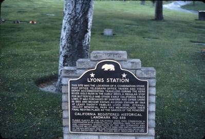
More about this marker. It appears that the marker was moved from behind the tree to in front of the tree sometime between 2009 and January 2012. Ten years later the tree was removed.
Regarding Lyons Station. This site was designated California Historical Landmark No. 688 in 1959.
Credits. This page was last revised on February 9, 2023. It was originally submitted on June 20, 2009. This page has been viewed 2,075 times since then and 30 times this year. Last updated on August 5, 2020, by Craig Baker of Sylmar, California. Photos: 1. submitted on September 25, 2020, by Craig Baker of Sylmar, California. 2. submitted on January 16, 2012, by Michael Kindig of Elk Grove, California. 3. submitted on June 20, 2009, by Syd Whittle of Mesa, Arizona. 4. submitted on January 16, 2012, by Michael Kindig of Elk Grove, California. 5, 6, 7, 8. submitted on June 20, 2009, by Syd Whittle of Mesa, Arizona. • J. Makali Bruton was the editor who published this page.
