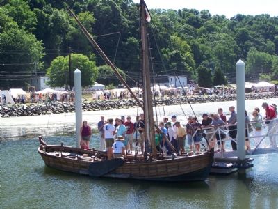
Near Port Deposit in Cecil County, Maryland — The American Northeast (Mid-Atlantic)
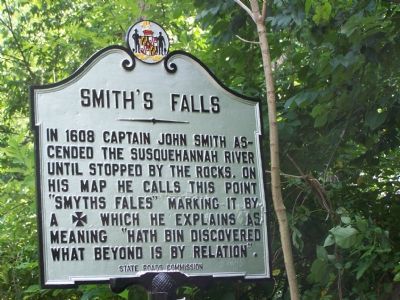
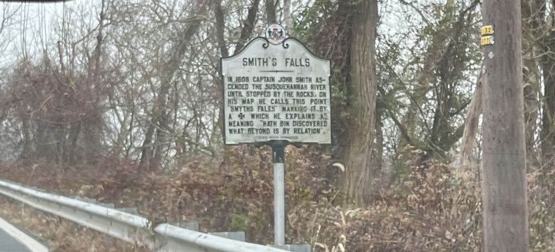
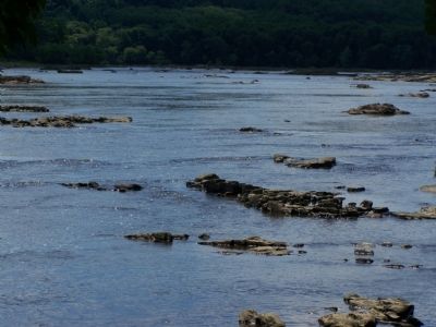
Smith’s Falls
Erected by State Roads Commission.
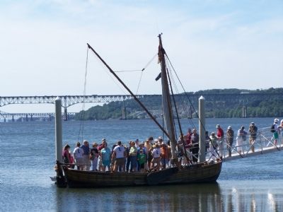
Topics. This historical marker is listed in these topic lists: Colonial Era • Exploration • Waterways & Vessels. A significant historical year for this entry is 1608.
Location. 39° 37.05′ N, 76° 7.95′ W. Marker is near Port Deposit, Maryland, in Cecil County. Marker is on Susquehanna River Road (Maryland Route 222) half a mile north of Granite Avenue, on the left when traveling north. Touch for map. Marker is in this post office area: Port Deposit MD 21904, United States of America. Touch for directions.
Other nearby markers. At least 8 other markers are within walking distance of this marker. Rock Run Mill (approx. 0.4 miles away); Explore Your Chesapeake (approx. 0.8 miles away); Tollhouse and Covered Bridge at Rock Run (approx. 0.8 miles away); a different marker also named Rock Run Mill (approx. 0.8 miles away); Toll House & Tidewater Canal (approx. 0.9 miles away); Rock Run Landing (approx. 0.9 miles away); Miller's House (approx. 0.9 miles away); Rock Run (approx. 0.9 miles away).
Regarding Smith’s Falls. "Susquehannah", used in this marker's text, is not the current spelling used (the trailing "h" is now omitted).
Credits. This page was last revised on January 11, 2024. It was originally submitted on July 21, 2007, by Bill Pfingsten of Bel Air, Maryland. This page has been viewed 3,068 times since then and 186 times this year. Last updated on December 20, 2021, by Carl Gordon Moore Jr. of North East, Maryland. Photos: 1. submitted on July 21, 2007, by Bill Pfingsten of Bel Air, Maryland. 2. submitted on December 26, 2023, by Adam Margolis of Mission Viejo, California. 3, 4, 5. submitted on July 21, 2007, by Bill Pfingsten of Bel Air, Maryland.
