Antioch in Davidson County, Tennessee — The American South (East South Central)
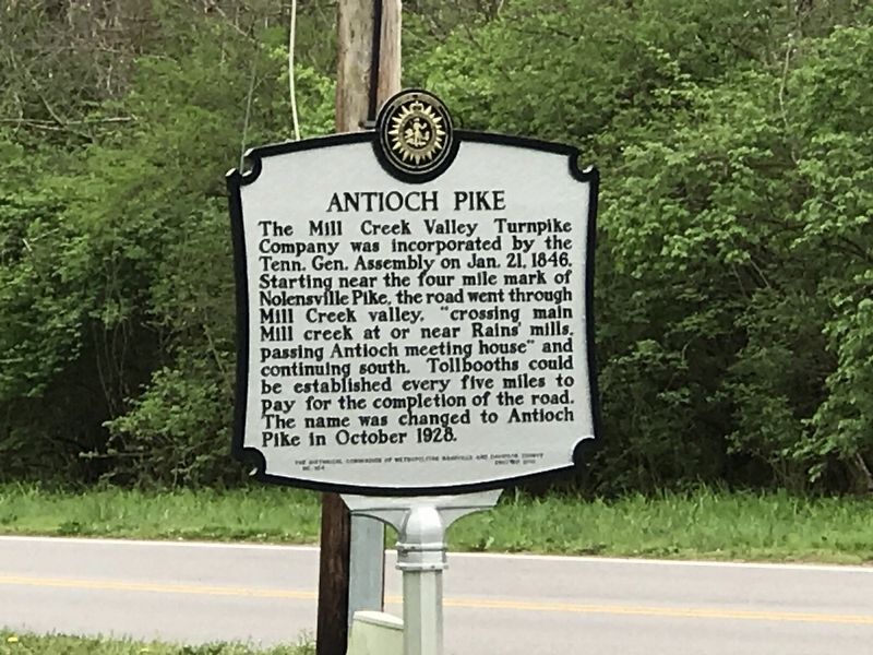
Antioch Pike
Erected 2018 by The Historical Commission of Metropolitan Nashville and Davidson County. (Marker Number 164.)
Topics and series. This historical marker is listed in these topic lists: Industry & Commerce • Roads & Vehicles. In addition, it is included in the Tennessee, The Historical Commission of Metropolitan Nashville and Davidson County series list. A significant historical month for this entry is October 1928.
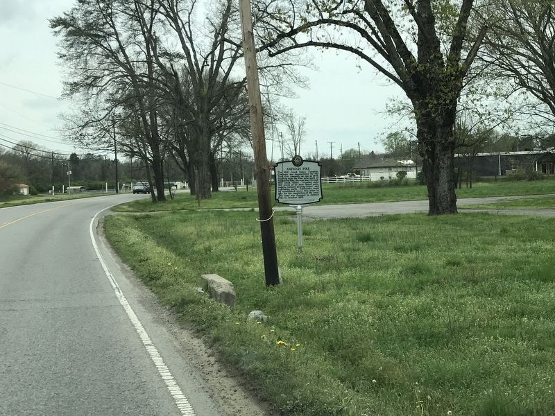
Location. Marker has been reported missing. It was located near 36° 3.667′ N, 86° 40.483′ W. Marker was in Antioch, Tennessee, in Davidson County. Marker was on Antioch Pike, 0.1 miles north of Goodwin Road, on the right when traveling north. Touch for map. Marker was at or near this postal address: 2343 Antioch Pike, Antioch TN 37013, United States of America. Touch for directions.
Other nearby markers. At least 8 other markers are within 3 miles of this location, measured as the crow flies. Locust Hill (approx. 0.3 miles away); Antioch High School (approx. 0.4 miles away); Alice Thompson Collinsworth (approx. 1.8 miles away); John Haywood (approx. 2.3 miles away); GranDale (approx. 2˝ miles away); Ezell House (approx. 2.6 miles away); Una Community (approx. 2.7 miles away); Alfred Z. Kelley (approx. 2.8 miles away). Touch for a list and map of all markers in Antioch.
Credits. This page was last revised on April 17, 2023. It was originally submitted on March 31, 2020, by Duane and Tracy Marsteller of Murfreesboro, Tennessee. This page has been viewed 419 times since then and 41 times this year. Last updated on April 17, 2023, by Darren Jefferson Clay of Duluth, Georgia. Photos: 1. submitted on March 31, 2020, by Duane and Tracy Marsteller of Murfreesboro, Tennessee. 2. submitted on April 17, 2023, by Darren Jefferson Clay of Duluth, Georgia. 3. submitted on March 31, 2020, by Duane and Tracy Marsteller of Murfreesboro, Tennessee. • James Hulse was the editor who published this page.


