Leesburg in Loudoun County, Virginia — The American South (Mid-Atlantic)
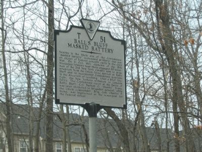
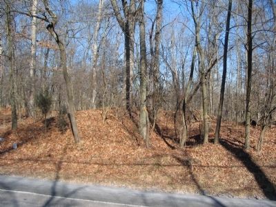
Ball’s Bluff Masked Battery
Erected 2005 by Department of Historic Resources. (Marker Number T-51.)
Topics and series. This historical marker is listed in this topic list: War, US Civil. In addition, it is included in the Virginia Department of Historic Resources (DHR) series list. A significant historical year for this entry is 1861.
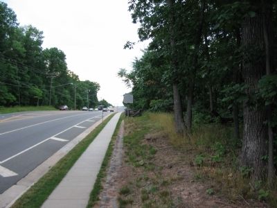
Location. 39° 6.837′ N, 77° 31.643′ W. Marker is in Leesburg, Virginia, in Loudoun County. Marker is at the intersection of Edwards Ferry Road and Battlefield Parkway, on the right when traveling west on Edwards Ferry Road . Touch for map. Marker is in this post office area: Leesburg VA 20176, United States of America. Touch for directions.
Other nearby markers. At least 8 other markers are within 2 miles of this marker, measured as the crow flies. A different marker also named Ball’s Bluff Masked Battery (within shouting distance of this marker); Confederate Earthworks (approx. half a mile away); Two-Chambered Granary (approx. 0.9 miles away); Well House (approx. 0.9 miles away); Carriage House (approx. 0.9 miles away); Red Rock Wilderness Overlook Regional Park (approx. 0.9 miles away); Ice House (approx. one mile away); 17th Mississippi Infantry (approx. 1.1 miles away). Touch for a list and map of all markers in Leesburg.
Regarding Ball’s Bluff Masked Battery. This marker is one of a set along the Balls Bluff Battlefield walking trail. See the Balls Bluff Virtual Tour by Markers link below for details on each stop.
Also see . . .
1. Gen. Nathan “Shanks” Evans. (Submitted on July 1, 2007, by Craig Swain of Leesburg, Virginia.)
2. Battle of Balls Bluff. (Submitted on July 1, 2007, by Craig Swain of Leesburg, Virginia.)
3. Gen. Charles Stone. (Submitted on July 1, 2007, by Craig Swain of Leesburg, Virginia.)
4. Balls Bluff Battlefield Virtual Tour by Marker. Over twenty markers detail the action at Balls Bluff and related
sites. Please use the Click to map all markers shown on this page option at the bottom of the page to view a map of the marker locations. The hybrid view offers an excellent overlook of the park. (Submitted on November 11, 2007, by Craig Swain of Leesburg, Virginia.)
Credits. This page was last revised on March 1, 2021. It was originally submitted on July 1, 2007, by Craig Swain of Leesburg, Virginia. This page has been viewed 2,772 times since then and 49 times this year. Last updated on February 28, 2021, by Carl Gordon Moore Jr. of North East, Maryland. Photos: 1, 2. submitted on July 1, 2007, by Craig Swain of Leesburg, Virginia. 3. submitted on January 31, 2009, by Craig Swain of Leesburg, Virginia. • Bill Pfingsten was the editor who published this page.


