Liberty in Weber County, Utah — The American Mountains (Southwest)
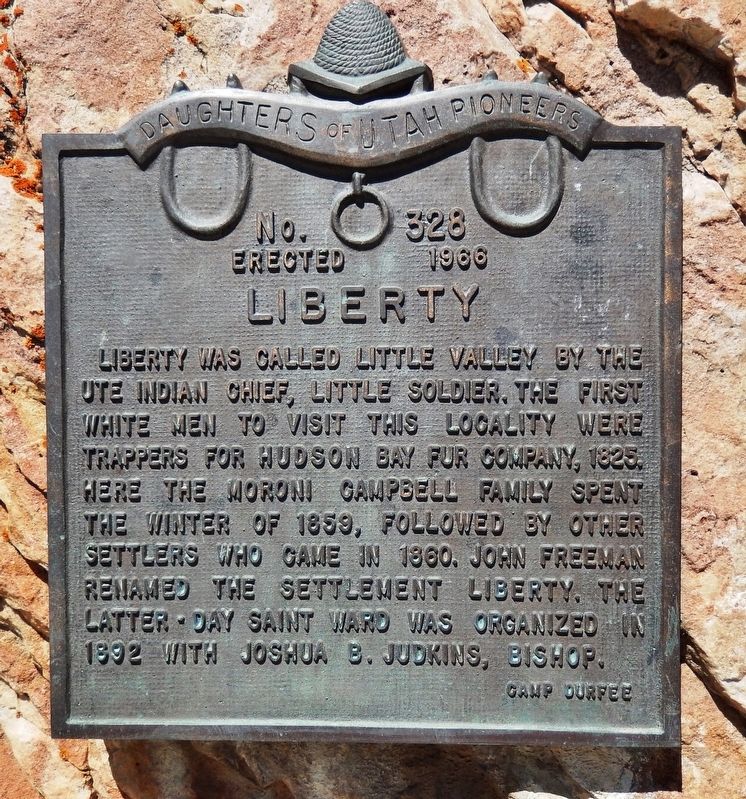
Liberty
Erected 1966 by Daughters of Utah Pioneers. (Marker Number 328.)
Topics and series. This historical marker is listed in these topic lists: Churches & Religion • Native Americans • Settlements & Settlers. In addition, it is included in the Daughters of Utah Pioneers series list. A significant historical year for this entry is 1825.
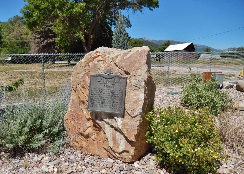
Location. 41° 19.996′ N, 111° 51.789′ W. Marker is in Liberty, Utah, in Weber County. Marker can be reached from East 4100 North just east of North 3500 East, on the right when traveling east. Marker is located near the parking lot at the northwest corner of Liberty Community Park. Touch for map. Marker is in this post office area: Eden UT 84310, United States of America. Touch for directions.
Other nearby markers. At least 8 other markers are within 10 miles of this marker, measured as the crow flies. Ogden Canyon Toll Gate (approx. 7˝ miles away); Martin Henderson Harris (approx. 7.6 miles away); Willard Basin (approx. 7.7 miles away); Defense Depot Ogden (approx. 8.9 miles away); Marriott-Slaterville City (approx. 9.3 miles away); Jane S. Richards (approx. 9.3 miles away); First Stake Relief Society (approx. 9.3 miles away); Relief Society Building (approx. 9.3 miles away).
Also see . . .
1. Liberty, Utah (Wikipedia). British trapper and explorer Peter Skene Ogden was the first European to map and describe the "Ogden Hole" valley which would later include Liberty. The Liberty area was settled beginning in 1859 as an outgrowth of Eden. In 1892, a separate townsite was laid out and a separate ward of The Church of Jesus Christ of Latter-day Saints organized. (Submitted on May 9, 2020, by Cosmos Mariner of Cape Canaveral, Florida.)
2. History of Liberty,Utah. There are several reasons presented for the name source. One version states that shortly after the Civil War the name "liberty" was very popular throughout the country. Another source claims that after John Freeman had been having trouble with range cattle, he told his neighbors, Fisher and Morris of North Ogden, that since people seemed to be taking a lot of liberties with property, he thought Liberty was an appropriate name for the settlement. Another reference states that the community was named after the Liberty Prison at Liberty, Clay County, Missouri. (Submitted on May 9, 2020, by Cosmos Mariner of Cape Canaveral, Florida.)
Credits. This page was last revised on May 9, 2020. It was originally submitted on May 9, 2020, by Cosmos Mariner of Cape Canaveral, Florida. This page has been viewed 277 times since then and 43 times this year. Photos: 1, 2. submitted on May 9, 2020, by Cosmos Mariner of Cape Canaveral, Florida.

