Central Business District in Sacramento in Sacramento County, California — The American West (Pacific Coastal)
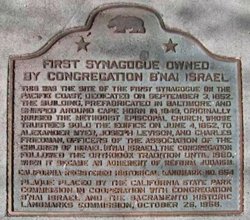
First Synagogue
Owned by Congregation B'nai Israel
Erected 1958 by California State Parks, Congregation B'nai Israel, and Sacramento Historic Landmarks Commission. (Marker Number 654.)
Topics and series. This historical marker is listed in these topic lists: Churches & Religion • Landmarks • Notable Places. In addition, it is included in the California Historical Landmarks series list. A significant historical date for this entry is June 4, 1852.
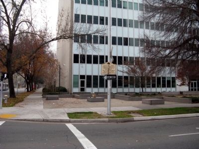
Location. 38° 34.72′ N, 121° 29.916′ W. Marker is in Sacramento, California, in Sacramento County. It is in the Central Business District. Marker is on 7th Street south of L Street, on the left when traveling south. Touch for map. Marker is in this post office area: Sacramento CA 95814, United States of America. Touch for directions.
Other nearby markers. At least 8 other markers are within walking distance of this marker. First Sacramento High School (approx. 0.2 miles away); Leland Stanford House (approx. 0.2 miles away); Sacramento Pioneers Society (approx. 0.2 miles away); Pioneer Hall (approx. 0.2 miles away); A Stately Mansion (approx. 0.2 miles away); Jesse M. Unruh State Office Building (approx. 0.2 miles away); Heilbron House (approx. 0.2 miles away); California Mexican-American War Memorial (approx. 0.2 miles away). Touch for a list and map of all markers in Sacramento.
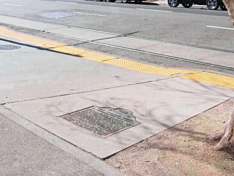
More about this marker. The marker lays flat in the sidewalk on the east side of 7th Street at the alley.
Credits. This page was last revised on February 7, 2023. It was originally submitted on January 2, 2009, by Syd Whittle of Mesa, Arizona. This page has been viewed 1,666 times since then and 22 times this year. Last updated on May 2, 2020, by Craig Baker of Sylmar, California. Photos: 1, 2. submitted on May 2, 2020, by Craig Baker of Sylmar, California. 3. submitted on January 2, 2009, by Syd Whittle of Mesa, Arizona. 4, 5. submitted on January 3, 2009, by Syd Whittle of Mesa, Arizona.
