Sparks in Washoe County, Nevada — The American Mountains (Southwest)
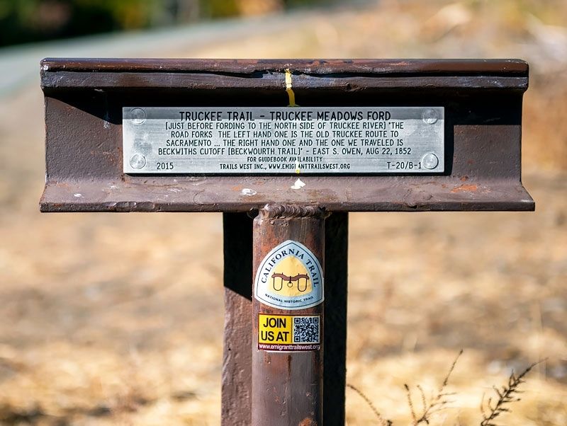
Truckee Trail - Truckee Meadows Ford
Erected 2015 by Trails West Inc. (Marker Number T-20/B-1.)
Topics and series. This historical marker is listed in these topic lists: Roads & Vehicles • Settlements & Settlers. In addition, it is included in the Beckwourth Trail, the California Trail, the Trails West Inc., and the Truckee Trail series lists. A significant historical date for this entry is August 22, 1852.
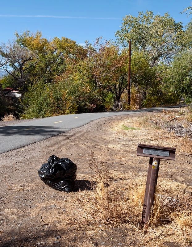
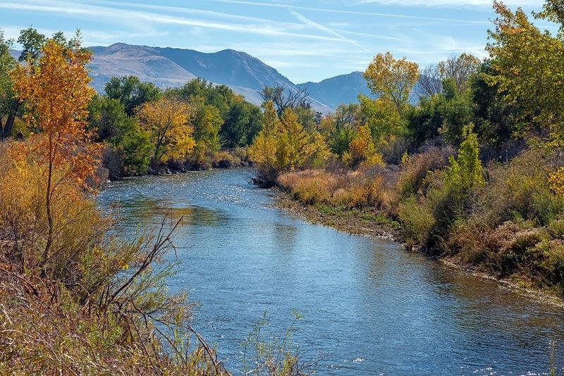
Location. 39° 31.067′ N, 119° 44.478′ W. Marker is in Sparks, Nevada, in Washoe County. Marker is on Tahoe Pyramid Bikeway, on the left when traveling east. The marker is just west of the South McCarran Boulevard Bridge over the Truckee River. Touch for map. Marker is in this post office area: Sparks NV 89431, United States of America. Touch for directions.
Other nearby markers. At least 8 other markers are within 2 miles of this marker, measured as the crow flies. Glendale School (approx. ¼ mile away); Southern Pacific Railroad Yards (approx. 1.3 miles away); Chinese in Nevada (approx. 1.3 miles away); James C. Lillard Railroad Park History (approx. 1.3 miles away); Glendale School (1864-1958) (approx. 1.4 miles away); The Bank of Sparks (approx. 1.4 miles away); Beckworth Trail - Over a Sage Plain (approx. 1.7 miles away); Sparks (approx. 2 miles away). Touch for a list and map of all markers in Sparks.
More about this marker. This is Marker T-20 on the Truckee Trail and Marker B-1 on the Beckwourth Trail.
Credits. This page was last revised on May 13, 2020. It was originally submitted on May 12, 2020, by Alvis Hendley of San Francisco, California. This page has been viewed 209 times since then and 26 times this year. Last updated on May 13, 2020, by Alvis Hendley of San Francisco, California. Photos: 1, 2, 3. submitted on May 12, 2020, by Alvis Hendley of San Francisco, California. • Syd Whittle was the editor who published this page.


