Mechanicsville in Hanover County, Virginia — The American South (Mid-Atlantic)
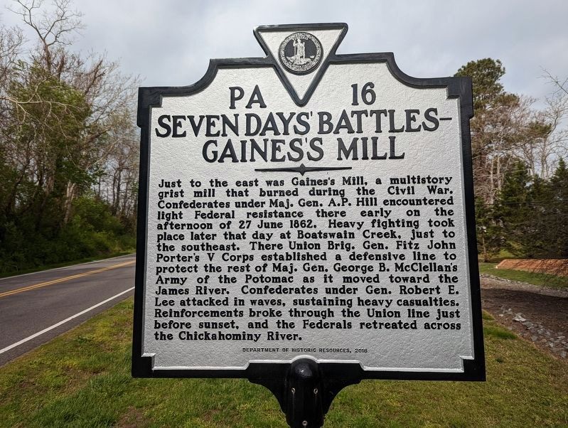
Seven Days Battles
Gainesís Mill
Erected 1932 by Conservation & Development Commission. (Marker Number PA-16.)
Topics and series. This historical marker is listed in this topic list: War, US Civil. In addition, it is included in the Virginia Department of Historic Resources (DHR) series list. A significant historical date for this entry is June 27, 1861.
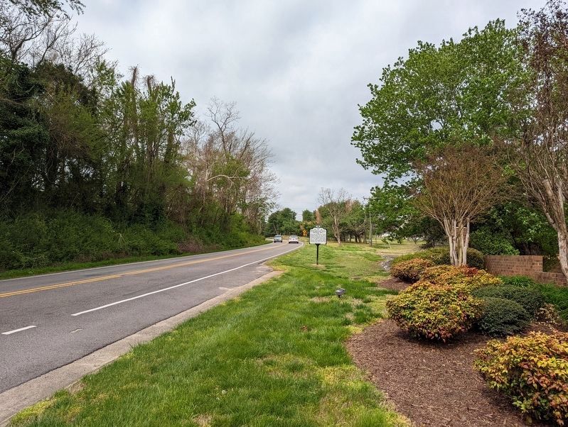
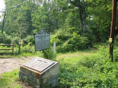
Location. 37° 35.22′ N, 77° 18.241′ W. Marker is in Mechanicsville, Virginia, in Hanover County. Marker is on Cold Harbor Road (Virginia Route 156) west of Old Millstone Drive, on the left when traveling east. Marker has been relocated and the text has been updated. Previous marker was located about Ĺ mile west of the entrance road to the Gaines' Mill Battlefield Unit of Richmond National Battlefield Park. Touch for map. Marker is in this post office area: Mechanicsville VA 23111, United States of America. Touch for directions.
Other nearby markers. At least 8 other markers are within walking distance of this marker. Gaines' Mill (approx. 0.2 miles away); a different marker also named Seven Days' Battles (approx. half a mile away); The Tramp of Marching Feet (approx. 0.6 miles away); Firing Blind (approx. 0.7 miles away); New Cold Harbor (approx. ĺ mile away); a different marker also named Seven Daysí Battles (approx. ĺ mile away); Confederate Breastworks (approx. 0.8 miles away); Nowhere To Go (approx. 0.9 miles away). Touch for a list and map of all markers in Mechanicsville.
More about this marker. Marker text has been updated and relocated.
Also see . . .
1. Gainesí Mill. CWSAC Battle Summaries website. (Submitted on January 3, 2009, by Bill Coughlin of Woodland Park, New Jersey.)
2. The Seven Days Battle. HistoryCentral.com website. (Submitted on January 3, 2009, by Bill Coughlin of Woodland Park, New Jersey.)
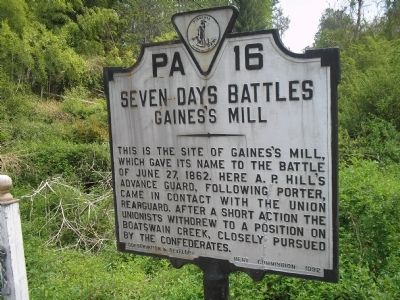
Photographed By Bill Coughlin, April 24, 2007
5. Previous Gainesís Mill Marker
This is the site of Gainesís Mill, which gave its name to the Battle of June 27, 1862. Here A. P. Hillís advance guard, following Porter, came in contact with the Union rearguard. After a short action the Unionists withdrew to a position on Boatswain Creek, closely pursued by the Confederates.
Credits. This page was last revised on April 25, 2022. It was originally submitted on January 3, 2009, by Bill Coughlin of Woodland Park, New Jersey. This page has been viewed 1,245 times since then and 18 times this year. Photos: 1, 2. submitted on April 25, 2022, by Mike Wintermantel of Pittsburgh, Pennsylvania. 3, 4, 5, 6. submitted on January 3, 2009, by Bill Coughlin of Woodland Park, New Jersey.
