Sandusky in Erie County, Ohio — The American Midwest (Great Lakes)
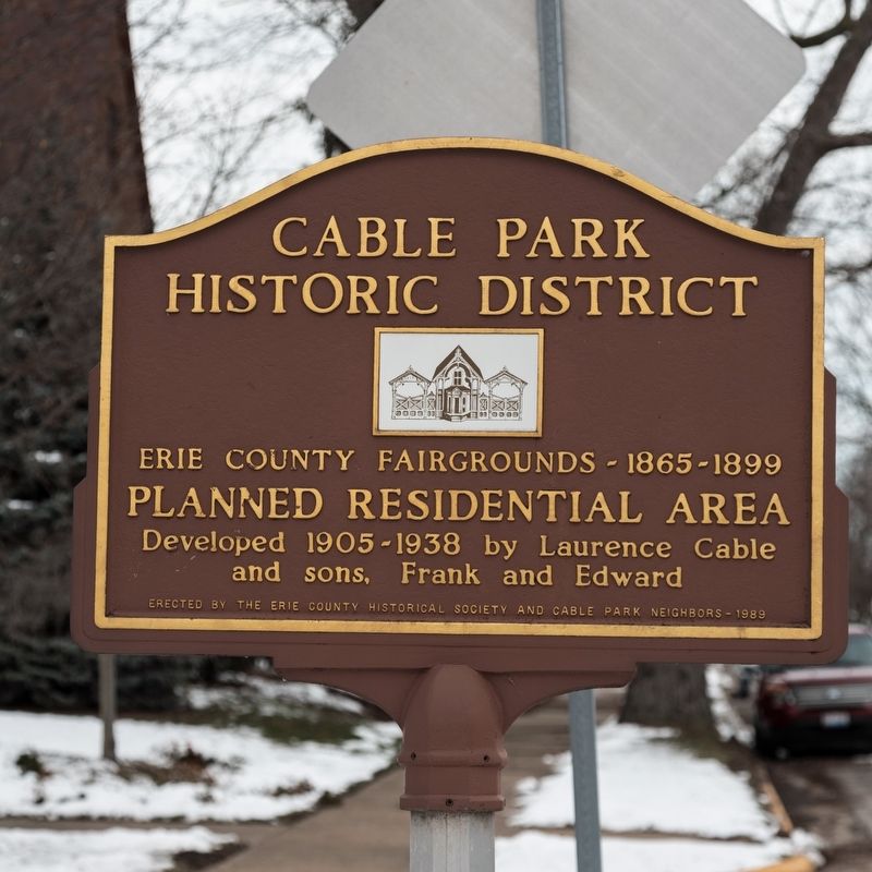
Cable Park Historic District
Erie County Fairgrounds — 1865-1899
Planned Residential Area developed 1905-1938 by Laurence Cable and sons, Frank and Edward
Erected 1989 by the Erie County Historical Society and Cable Park Neighbors.
Topics. This historical marker is listed in these topic lists: Notable Places • Settlements & Settlers.
Location. 41° 26.765′ N, 82° 42.23′ W. Marker is in Sandusky, Ohio, in Erie County. Marker is at the intersection of Wayne Street and Finch Street, in the median on Wayne Street. Touch for map. Marker is at or near this postal address: 1136 Wayne St, Sandusky OH 44870, United States of America. Touch for directions.
Other nearby markers. At least 8 other markers are within walking distance of this marker. Cooke-Dorn House / Eleutheros Cooke (approx. 0.2 miles away); Hitching Post (approx. 0.3 miles away); The Firelands (approx. 0.3 miles away); Good Samaritan Hospital (approx. 0.4 miles away); Knute Rockne Wedding (approx. half a mile away); Sandusky’s First Congregation — 1818 (approx. half a mile away); First Congregational Church (approx. 0.6 miles away); Sandusky Telephone Building (approx. 0.6 miles away). Touch for a list and map of all markers in Sandusky.
Also see . . . Cable Park District Historical Marker Dedication. October 8, 2019 dedication photographs and a description of the district. Excerpt:
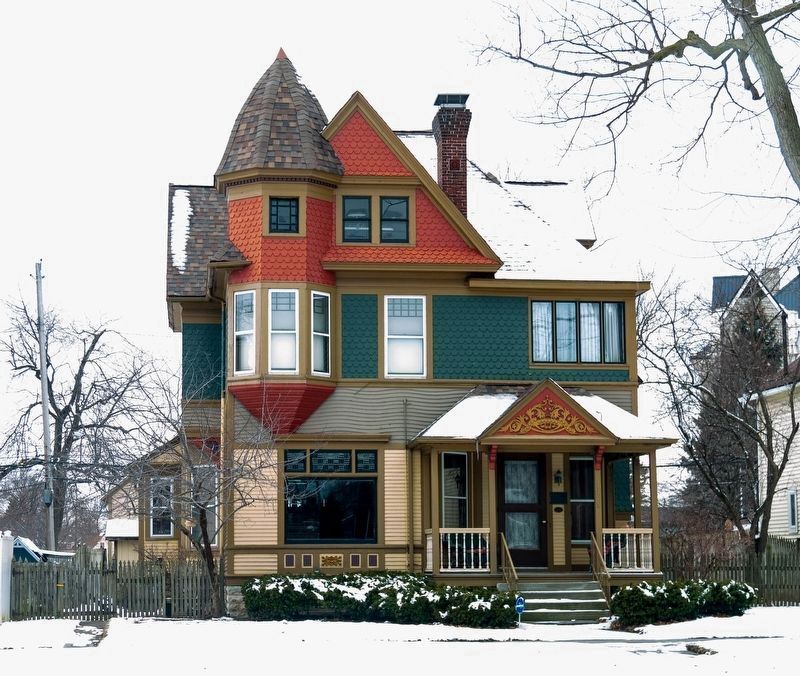
There were to be only residences, and no commercial properties in Cable Park. The house lines were to be no less than forty feet from Wayne Street. No two-family homes were allowed. The planned residential area was to have a park-like atmosphere, and it was close to public transportation routes.(Submitted on May 17, 2020.)
Credits. This page was last revised on March 3, 2024. It was originally submitted on May 17, 2020, by J. J. Prats of Powell, Ohio. This page has been viewed 226 times since then and 34 times this year. Last updated on February 15, 2024, by Carl Gordon Moore Jr. of North East, Maryland. Photos: 1, 2, 3. submitted on May 17, 2020, by J. J. Prats of Powell, Ohio. • Devry Becker Jones was the editor who published this page.


