Enochs in Bailey County, Texas — The American South (West South Central)
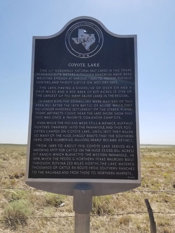
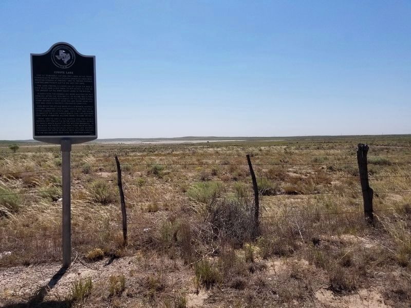
Coyote Lake
One of numerous natural salt lakes in the Texas Panhandle. Its waters, although brackish, have been welcome enough at various times to Indians, buffalo hunters, and thirsty cattle on hot, dry days.
The lake, having a shoreline of over six and a half miles and a bed area of 829 acres, is one of the largest of the many saline lakes in the region.
In early days, the Comanches were masters of this area, but after the 1874 Battle of Adobe Walls, they no longer hindered settlement of the Staked Plains. Today, artifacts found near the lake shore show that this was once a favorite Comanche camp site.
Even while Indians were still a menace, buffalo hunters swarmed into the Panhandle, and they, too, often camped on Coyote Lake. Until 1877, they killed so many of the huge, shaggy beasts that the southern herd, once numbering millions, nearly became extinct.
From 1885 to about 1910, Coyote Lake served as a watering spot for cattle on the huge (3,050,000 acres) XIT Ranch, which blanketed the western Panhandle. In 1898 when the Pecos and Northern Texas Railroad built through Bovina (30 miles north), the lake watered thousands of cattle en route from southern ranches to the railroad, and from there to northern markets.
Erected 1968 by State Historical Survey Committee . (Marker Number 1103.)
Topics. This historical marker is listed in these topic lists: Industry & Commerce • Native Americans • Settlements & Settlers • Wars, US Indian.
Location. 34° 6.085′ N, 102° 54.581′ W. Marker is in Enochs, Texas, in Bailey County. Marker is on FM 746, on the left when traveling south. The marker can be seen from Muleshoe taking SH 214 south about 6.5 miles, then turning west onto FM 746 and continuing about 13 miles to Coyote Lake. Touch for map. Marker is in this post office area: Enochs TX 79324, United States of America. Touch for directions.
Other nearby markers. At least 8 other markers are within 15 miles of this marker, measured as the crow flies. Site of Virginia City (approx. 8˝ miles away); XIT Ranch South Line (approx. 11˝ miles away); Quanah Parker Trail (approx. 13.3 miles away); Old Muleshoe Ranch Cookhouse (approx. 13.3 miles away); Bailey County (approx. 13˝ miles away); The Founding of Bailey County (approx. 13˝ miles away); The Mule (approx. 13.7 miles away); Muleshoe National Wildlife Refuge (approx. 14.2 miles away).
Credits. This page was last revised on July 20, 2020. It was originally submitted on June 14, 2020. This page has been viewed 305 times since then and 50 times this year. Last updated on July 20, 2020, by Allen Lowrey of Amarillo, Texas. Photos: 1, 2. submitted on June 14, 2020, by Allen Lowrey of Amarillo, Texas. • J. Makali Bruton was the editor who published this page.

