Leesburg in Loudoun County, Virginia — The American South (Mid-Atlantic)
Ball’s Bluff Masked Battery
…held to the bluff without room to retire.
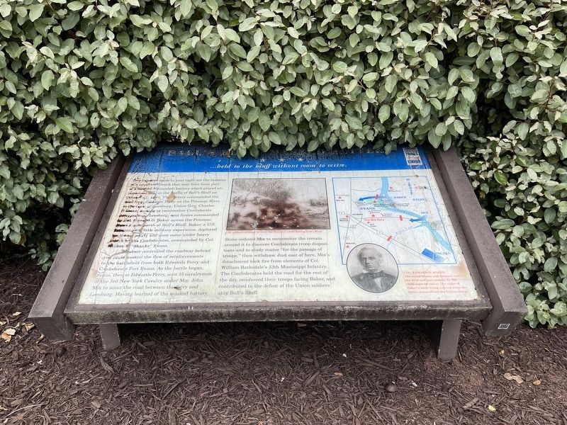
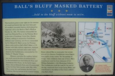
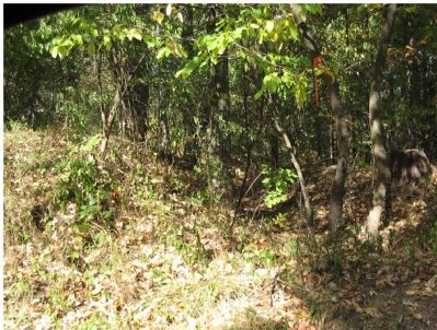
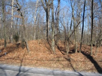
Two hundred yards to your right are the remains of a small earthwork that may have been part of a masked (concealed) battery which played an important role in the Battle of Ball’s Bluff on October 21, 1861. The battery commanded the road from Edwards Ferry on the Potomac River to the town of Leesburg. Union Gen. Charles P. Stone, seeking to reconnoiter Confederate defenses near Leesburg, sent forces commanded by Col. Edward D. Baker across the Potomac about a mile north at Ball’s Bluff. Baker, a U.S. Senator with little military experience, deployed his troops poorly and soon came under heavy attack by the Confederates, commanded by Col. Nathan P. “Shanks” Evans.
Whoever controlled the roadway behind you could control the flow of reinforcements to the battlefield from both Edwards Ferry and Confederate Fort Evans. As the battle began, Stone, then at Edwards Ferry, sent 35 cavalrymen of the 3rd New York Cavalry under Maj. John Mix to scout the road between the ferry and Leesburg. Having learned of the masked battery, Stone ordered Mix to reconnoiter the terrain around it to discover Confederate troop dispositions and to study routes “for the passage of troops,” then withdrew. Just east of here, Mix’s detachment took fire from elements of Col. William Barksdale’s 13th Mississippi Infantry. The Confederates held the road for the rest of the day, reinforced their troops facing Baker, and contributed to the defeat of the Union soldiers atop Ball’s Bluff.
Erected by Virginia Civil War Trails.
Topics and series. This historical marker is listed in this topic list: War, US Civil. In addition, it is included in the Virginia Civil War Trails series list. A significant historical month for this entry is October 1890.
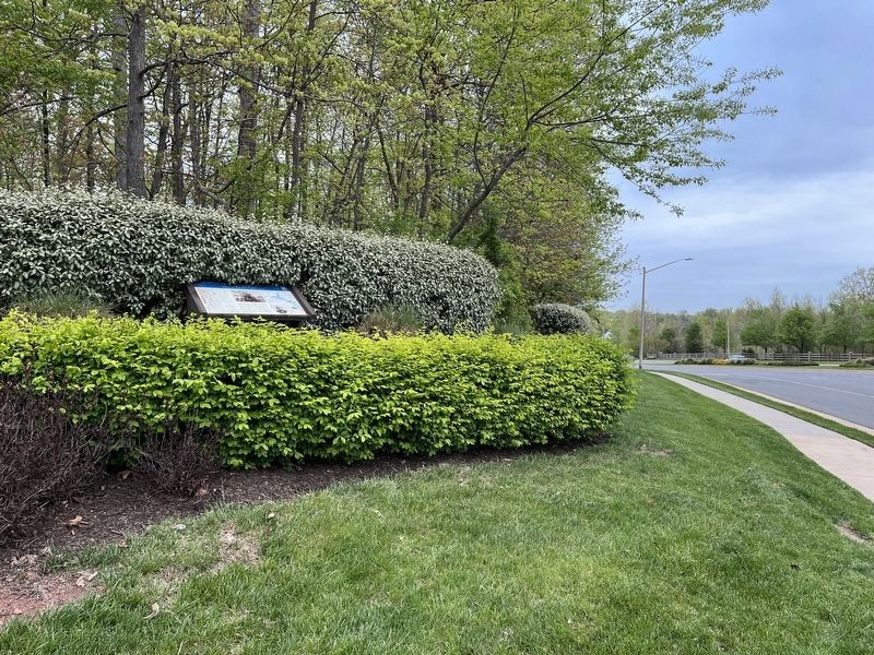
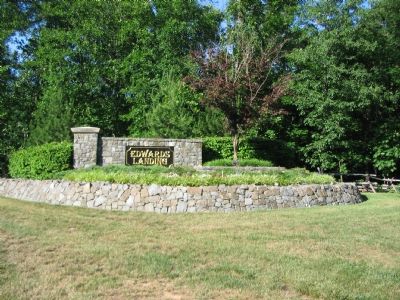
Location. 39° 6.848′ N, 77° 31.6′ W. Marker has been reported damaged. Marker is in Leesburg, Virginia, in Loudoun County. Marker is at the intersection of Edward’s Ferry Road and Battlefield Parkway North East, on the left when traveling east on Edward’s Ferry Road. At the entrance to the Edward’s Landing sub-division. Touch for map. Marker is in this post office area: Leesburg VA 20176, United States of America. Touch for directions.
Other nearby markers. At least 8 other markers are within 2 miles of this location, measured as the crow flies. A different marker also named Ball’s Bluff Masked Battery (within shouting distance of this marker); Confederate Earthworks (approx. 0.6 miles away); Two-Chambered Granary (approx. 0.9 miles away); Well House (approx. 0.9 miles away); Carriage House (approx. 0.9 miles away); Red Rock Wilderness Overlook Regional Park (approx. 0.9 miles away); Ice House (approx. one mile away); 17th Mississippi Infantry (approx. 1.1 miles away). Touch for a list and map of all markers in Leesburg.
More about this marker. Marker includes a newspaper drawing depicting the Federal retreat from Ball’s Bluff with the caption, “U.S. soldiers attempt to swim the Potomac while fleeing Ball’s Bluff.”
A portrait of Col. Edward D. Baker carries the caption, “the noted orator and Senator took the field and was undone by the challenges he faced. The sight of Baker’s body being carried from the battle demoralized the Union troops.”
Regarding Ball’s Bluff Masked Battery. This marker is one of a set along the Balls Bluff Battlefield walking trail. See the Balls Bluff Virtual Tour by Markers link below for details on each stop.
Also see . . .
1. Biography of Col. Edward D. Baker. (Submitted on July 2, 2007, by Craig Swain of Leesburg, Virginia.)
2. Balls Bluff Battlefield Virtual Tour by Marker. Over twenty markers detail the action at Balls Bluff and related sites. Please use the Click to map all markers shown on this page option at the bottom of the page to view a map of the marker locations. The hybrid view offers an excellent overlook of the park. (Submitted on November 11, 2007, by Craig Swain of Leesburg, Virginia.)
Additional commentary.
1. On Site check
I checked the marker
— Submitted July 12, 2020, by Craig Swain of Leesburg, Virginia.
2.
Was the marker BEHIND the subdivision sign?
Behind the subdivision sign (photo 3, NE corner of intersection) is where the earthworks remains are. The marker was on the NW corner as shown in photo 2. —Ed. Note To Editor only visible by Contributor and editor
— Submitted September 10, 2020, by Mike McKeown of Baltimore, Maryland.
Credits. This page was last revised on May 1, 2022. It was originally submitted on July 2, 2007. This page has been viewed 3,074 times since then and 22 times this year. Last updated on September 16, 2020, by Bradley Owen of Morgantown, West Virginia. Photos: 1. submitted on May 1, 2022, by Devry Becker Jones of Washington, District of Columbia. 2. submitted on July 2, 2007, by Craig Swain of Leesburg, Virginia. 3. submitted on May 1, 2022, by Devry Becker Jones of Washington, District of Columbia. 4. submitted on July 2, 2007, by Craig Swain of Leesburg, Virginia. 5. submitted on October 15, 2007, by Craig Swain of Leesburg, Virginia. 6. submitted on January 31, 2009, by Craig Swain of Leesburg, Virginia. • J. Makali Bruton was the editor who published this page.
